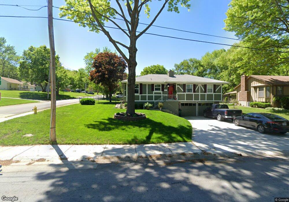
13212 15th St Grandview, MO 64030
Estimated Value: $215,145 - $236,000
3
Beds
2
Baths
1,156
Sq Ft
$197/Sq Ft
Est. Value
About This Home
This home is located at 13212 15th St, Grandview, MO 64030 and is currently estimated at $228,286, approximately $197 per square foot. 13212 15th St is a home located in Jackson County with nearby schools including Conn-West Elementary School, Grandview Middle, and Grandview High School.
Ownership History
Date
Name
Owned For
Owner Type
Purchase Details
Closed on
Dec 27, 2021
Sold by
Naught Gladys and Naught Family Trust
Bought by
Naught Gladys
Current Estimated Value
Home Financials for this Owner
Home Financials are based on the most recent Mortgage that was taken out on this home.
Original Mortgage
$23,314
Outstanding Balance
$21,270
Interest Rate
2.98%
Mortgage Type
FHA
Estimated Equity
$207,016
Purchase Details
Closed on
Dec 20, 2004
Sold by
Lawson Sharon
Bought by
Yates James and Yates Gloria
Home Financials for this Owner
Home Financials are based on the most recent Mortgage that was taken out on this home.
Original Mortgage
$91,200
Outstanding Balance
$47,336
Interest Rate
6.6%
Mortgage Type
Purchase Money Mortgage
Estimated Equity
$180,950
Purchase Details
Closed on
Aug 14, 1995
Sold by
Hud
Bought by
Lawson Sharon
Create a Home Valuation Report for This Property
The Home Valuation Report is an in-depth analysis detailing your home's value as well as a comparison with similar homes in the area
Home Values in the Area
Average Home Value in this Area
Purchase History
| Date | Buyer | Sale Price | Title Company |
|---|---|---|---|
| Naught Gladys | -- | None Available | |
| Yates James | -- | Security Land Title Company | |
| Lawson Sharon | -- | -- |
Source: Public Records
Mortgage History
| Date | Status | Borrower | Loan Amount |
|---|---|---|---|
| Open | Naught Gladys | $23,314 | |
| Open | Yates James | $91,200 | |
| Closed | Yates James | $22,800 |
Source: Public Records
Tax History
| Year | Tax Paid | Tax Assessment Tax Assessment Total Assessment is a certain percentage of the fair market value that is determined by local assessors to be the total taxable value of land and additions on the property. | Land | Improvement |
|---|---|---|---|---|
| 2025 | $3,178 | $23,788 | $6,036 | $17,752 |
| 2024 | $3,178 | $20,685 | $2,060 | $18,625 |
| 2023 | $3,149 | $20,686 | $920 | $19,766 |
| 2022 | $3,160 | $19,380 | $3,050 | $16,330 |
| 2021 | $3,153 | $19,380 | $3,050 | $16,330 |
| 2020 | $1,498 | $18,491 | $3,050 | $15,441 |
| 2019 | $1,444 | $18,491 | $3,050 | $15,441 |
| 2018 | $1,092 | $13,012 | $2,376 | $10,636 |
| 2016 | $970 | $11,315 | $2,445 | $8,870 |
Source: Public Records
Map
Nearby Homes
- 13302 11th St
- 14925 S U S 71 Hwy
- 13301 10th St
- 13300 10th St
- 13121 Grandview Rd
- 1004 E 135th St
- 904 Pinkston Ave
- 13516 12th St
- 807 Highgrove Rd
- 13424 Parker Ave
- 13305 7th St
- 709 Rhodes Ave
- 4718 E 135th Ct
- 6105 E 136th St
- 1101 E 137th St
- 13420 Belmead Ave
- 13120 4th St
- 6008 E 129th St
- 12802 Grandview Rd
- 5956 E 129th St
Your Personal Tour Guide
Ask me questions while you tour the home.