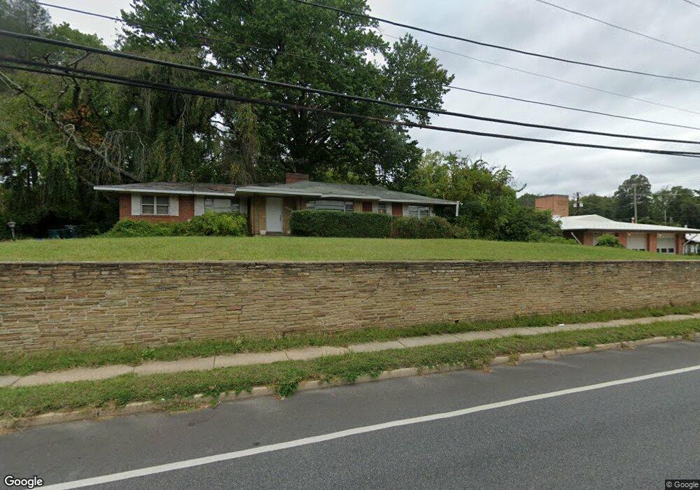
13212 New Hampshire Ave Silver Spring, MD 20904
Estimated Value: $513,448 - $629,000
--
Bed
3
Baths
1,618
Sq Ft
$346/Sq Ft
Est. Value
About This Home
This home is located at 13212 New Hampshire Ave, Silver Spring, MD 20904 and is currently estimated at $559,362, approximately $345 per square foot. 13212 New Hampshire Ave is a home located in Montgomery County with nearby schools including Jackson Road Elementary School, L'Anse Creuse Middle School - North, and Manton Consolidated Middle School.
Ownership History
Date
Name
Owned For
Owner Type
Purchase Details
Closed on
Feb 15, 2006
Sold by
Malcolm Hazel C Trustee
Bought by
Malcolm John Leo
Current Estimated Value
Purchase Details
Closed on
Feb 6, 2006
Sold by
Malcolm Hazel C Trustee
Bought by
Malcolm John Leo
Purchase Details
Closed on
Jun 5, 2002
Sold by
Malcolm Hazel C
Bought by
Malcolm Hazel C Trustee
Create a Home Valuation Report for This Property
The Home Valuation Report is an in-depth analysis detailing your home's value as well as a comparison with similar homes in the area
Home Values in the Area
Average Home Value in this Area
Purchase History
| Date | Buyer | Sale Price | Title Company |
|---|---|---|---|
| Malcolm John Leo | -- | -- | |
| Malcolm John Leo | -- | -- | |
| Malcolm Hazel C Trustee | -- | -- |
Source: Public Records
Tax History Compared to Growth
Tax History
| Year | Tax Paid | Tax Assessment Tax Assessment Total Assessment is a certain percentage of the fair market value that is determined by local assessors to be the total taxable value of land and additions on the property. | Land | Improvement |
|---|---|---|---|---|
| 2025 | $5,263 | $398,267 | -- | -- |
| 2024 | $5,263 | $380,733 | $0 | $0 |
| 2023 | $4,324 | $363,200 | $225,200 | $138,000 |
| 2022 | $3,940 | $349,633 | $0 | $0 |
| 2021 | $3,518 | $336,067 | $0 | $0 |
| 2020 | $3,518 | $322,500 | $225,200 | $97,300 |
| 2019 | $3,485 | $322,500 | $225,200 | $97,300 |
| 2018 | $3,466 | $322,500 | $225,200 | $97,300 |
| 2017 | $3,548 | $324,700 | $0 | $0 |
| 2016 | -- | $316,233 | $0 | $0 |
| 2015 | $3,731 | $307,767 | $0 | $0 |
| 2014 | $3,731 | $299,300 | $0 | $0 |
Source: Public Records
Map
Nearby Homes
- 13152 Kara Ln
- 13132 Kara Ln
- 6 & 10 Vital Way
- 13118 New Hampshire Ave
- 7 Shaw Ave
- 12821 Baker Dr
- 713 Anderson St
- 13707 Notley Rd
- 13711 Notley Rd
- 13704 New Hampshire Ave
- 13719 Notley Rd
- 13715 Notley Rd
- 605 Rosemere Ave
- 206 Shaw Ave
- 12608 Norcross Ct
- 13165 Broadmore Rd
- 605 Winhall Way
- 708 Hollywood Ave
- 711 Orchard Way
- 12814 Greenbriar St
- 13216 New Hampshire Ave
- 13206 New Hampshire Ave
- 13209 Bregman Rd
- 6 Wolf Dr
- 13205 Bregman Rd
- 13217 Bregman Rd
- 10 Wolf Dr
- 13200 New Hampshire Ave
- 13162 Kara Ln
- 13160 Kara Ln
- 13158 Kara Ln
- 14 Wolf Dr
- 13217 New Hampshire Ave
- 13200 Bregman Rd
- 13156 Kara Ln
- 13166 Kara Ln
- 13227 Bregman Rd
- 13154 Kara Ln
- 13206 Bregman Rd
- 13300 New Hampshire Ave