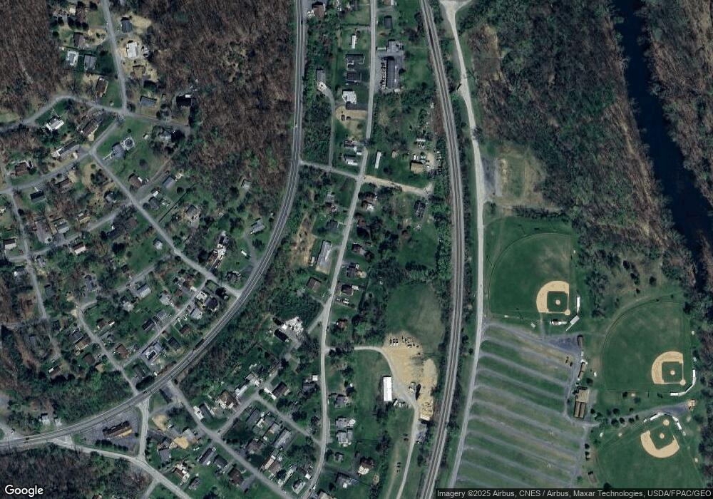
13212 Pershing St Cumberland, MD 21502
Estimated Value: $82,000 - $174,000
--
Bed
2
Baths
1,296
Sq Ft
$102/Sq Ft
Est. Value
About This Home
This home is located at 13212 Pershing St, Cumberland, MD 21502 and is currently estimated at $132,674, approximately $102 per square foot. 13212 Pershing St is a home located in Allegany County with nearby schools including Cresaptown Elementary School, Braddock Middle School, and Allegany High School.
Ownership History
Date
Name
Owned For
Owner Type
Purchase Details
Closed on
Jun 20, 2014
Sold by
Firlie Brooke
Bought by
Adams Carole
Current Estimated Value
Home Financials for this Owner
Home Financials are based on the most recent Mortgage that was taken out on this home.
Original Mortgage
$53,640
Outstanding Balance
$27,772
Interest Rate
3.25%
Mortgage Type
Adjustable Rate Mortgage/ARM
Estimated Equity
$104,902
Purchase Details
Closed on
Oct 22, 1998
Sold by
Lewis Jacob M
Bought by
Firlie Brooke R
Create a Home Valuation Report for This Property
The Home Valuation Report is an in-depth analysis detailing your home's value as well as a comparison with similar homes in the area
Home Values in the Area
Average Home Value in this Area
Purchase History
| Date | Buyer | Sale Price | Title Company |
|---|---|---|---|
| Adams Carole | $59,600 | None Available | |
| Firlie Brooke R | $41,900 | -- |
Source: Public Records
Mortgage History
| Date | Status | Borrower | Loan Amount |
|---|---|---|---|
| Open | Adams Carole | $53,640 | |
| Closed | Firlie Brooke R | -- |
Source: Public Records
Tax History Compared to Growth
Tax History
| Year | Tax Paid | Tax Assessment Tax Assessment Total Assessment is a certain percentage of the fair market value that is determined by local assessors to be the total taxable value of land and additions on the property. | Land | Improvement |
|---|---|---|---|---|
| 2025 | $1,295 | $97,233 | $0 | $0 |
| 2024 | $1,295 | $88,667 | $0 | $0 |
| 2023 | $871 | $80,100 | $18,100 | $62,000 |
| 2022 | $1,139 | $78,033 | $0 | $0 |
| 2021 | $1,099 | $75,967 | $0 | $0 |
| 2020 | $1,079 | $73,900 | $18,100 | $55,800 |
| 2019 | $1,070 | $73,767 | $0 | $0 |
| 2018 | $1,068 | $73,633 | $0 | $0 |
| 2017 | $1,066 | $73,500 | $0 | $0 |
| 2016 | $1,052 | $72,367 | $0 | $0 |
| 2015 | $1,020 | $71,233 | $0 | $0 |
| 2014 | $1,020 | $70,100 | $0 | $0 |
Source: Public Records
Map
Nearby Homes
- 13310 Pershing St
- 11806 Bayberry Ave
- 13005 Mallard St
- 11810 Bayberry Ave
- 11815 Bayberry Ave
- 13518 Mcmullen Hwy SW
- 12601 Bowling St
- 12204 Fall Ave
- 12617 N Cresap St
- 12303 Mcmullen Hwy SW
- 11903 Mcmullen Hwy SW
- 128 W Clearview Ave
- 46 Poplar St
- 12706 Darrows Ave
- 31 W Roberts St
- 36 E Roberts St
- 1317 & 1319 Virginia Ave
- 0 Oakwood St
- 14 Clubhouse Rd
- 0 Mckenzie Rd
- 13208 Pershing St
- 13302 Pershing St
- 13204 Pershing St
- 13304 Pershing St
- 13205 Pershing St
- 13209 Pershing St
- 13202 Pershing St
- 13203 Pershing St
- 13305 Pershing St
- 11411 Division Ave
- 0 Division Ave Unit AL7293505
- 13117 Bowling St
- 13118 Bowling St
- 13115 Bowling St
- 13113 Bowling St
- 13217 Mcmullen Hwy SW
- 11412 Division Ave
- 11412 Division Ave
- 13311 Pansy St
- 13111 Bowling St
