13212 S 4800 W Santaquin, UT 84655
Estimated Value: $517,000 - $807,983
3
Beds
2
Baths
3,102
Sq Ft
$208/Sq Ft
Est. Value
About This Home
This home is located at 13212 S 4800 W, Santaquin, UT 84655 and is currently estimated at $644,246, approximately $207 per square foot. 13212 S 4800 W is a home located in Utah County with nearby schools including Taylor Elementary School, Mt. Nebo Junior High School, and Salem Junior High School.
Ownership History
Date
Name
Owned For
Owner Type
Purchase Details
Closed on
Jun 10, 2024
Sold by
Sperry Todd Lamont and Sperry Debra Jones
Bought by
Sperry Family Trust and Sperry
Current Estimated Value
Home Financials for this Owner
Home Financials are based on the most recent Mortgage that was taken out on this home.
Original Mortgage
$150,000
Outstanding Balance
$148,158
Interest Rate
7.22%
Mortgage Type
Credit Line Revolving
Estimated Equity
$496,088
Purchase Details
Closed on
Jun 20, 2008
Sold by
Meyer Timothy K and Meyer Jody R
Bought by
Sperry Todd L and Sperry Debra J
Home Financials for this Owner
Home Financials are based on the most recent Mortgage that was taken out on this home.
Original Mortgage
$251,920
Interest Rate
5.99%
Mortgage Type
Purchase Money Mortgage
Purchase Details
Closed on
Jan 29, 2001
Sold by
Robbins Donald K
Bought by
Meyer Timothy K and Meyer Jody R
Create a Home Valuation Report for This Property
The Home Valuation Report is an in-depth analysis detailing your home's value as well as a comparison with similar homes in the area
Home Values in the Area
Average Home Value in this Area
Purchase History
| Date | Buyer | Sale Price | Title Company |
|---|---|---|---|
| Sperry Family Trust | -- | Meridian Title | |
| Sperry Todd Lamont | -- | Meridian Title | |
| Sperry Todd L | -- | Empire Land Title Company | |
| Meyer Timothy K | -- | Century Title |
Source: Public Records
Mortgage History
| Date | Status | Borrower | Loan Amount |
|---|---|---|---|
| Open | Sperry Todd Lamont | $150,000 | |
| Previous Owner | Sperry Todd L | $251,920 |
Source: Public Records
Tax History Compared to Growth
Tax History
| Year | Tax Paid | Tax Assessment Tax Assessment Total Assessment is a certain percentage of the fair market value that is determined by local assessors to be the total taxable value of land and additions on the property. | Land | Improvement |
|---|---|---|---|---|
| 2025 | $2,343 | $259,765 | $311,900 | $351,000 |
| 2024 | $2,343 | $233,335 | $0 | $0 |
| 2023 | $2,397 | $239,431 | $0 | $0 |
| 2022 | $2,284 | $627,200 | $316,500 | $310,700 |
| 2021 | $2,105 | $492,700 | $237,800 | $254,900 |
| 2020 | $1,816 | $448,700 | $206,800 | $241,900 |
| 2019 | $1,582 | $404,000 | $192,800 | $211,200 |
| 2018 | $1,479 | $371,400 | $187,800 | $183,600 |
| 2017 | $1,429 | $115,220 | $0 | $0 |
| 2016 | $1,457 | $115,141 | $0 | $0 |
| 2015 | $1,446 | $112,030 | $0 | $0 |
| 2014 | $1,662 | $113,511 | $0 | $0 |
Source: Public Records
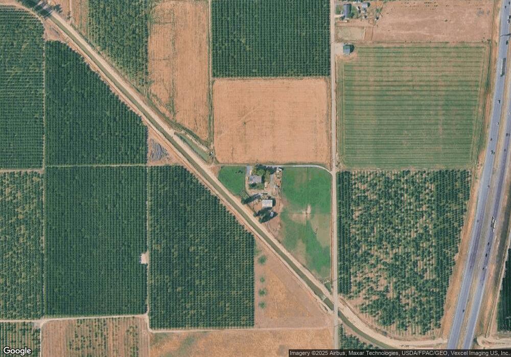
Map
Nearby Homes
- 382 N Peach St
- Pine Plan at Stratton Acres
- Willow Plan at Stratton Acres
- Aspen Plan at Stratton Acres
- Cottonwood Plan at Stratton Acres
- 933 N 200 E
- 933 N 200 E Unit 32
- 943 N 200 E Unit 31
- 12975 Utah 198
- 116 E 840 N
- 961 N 120 E
- 692 E 180 N
- 348 N 200 E
- 932 N 160 E Unit 21
- 922 N 160 E Unit 20
- 931 N 160 E Unit 11
- 931 N 160 E
- 921 N 160 E
- 921 N 160 E Unit 12
- 600 N Center St
- 13065 S 4800 W
- 13025 S 4800 W
- 13409 S 4800 W
- 12993 S 4800 W
- 12932 S 4800 W
- 13025 S 5200 W
- 625 N State Road 198 Unit 4
- 625 N State Road 198
- 575 Utah 198
- 575 N State Road 198 Unit 3
- 631 N State Road 198
- 575 N State Road 198
- 13460 S Highway 198
- 11775 Utah 198
- 12963 S 5200 W
- 13200 Utah 198
- 400 Utah 198
- 400 Utah 198 Unit 4
- 150 Utah 198 Unit 2
- 300 Utah 198 Unit 4