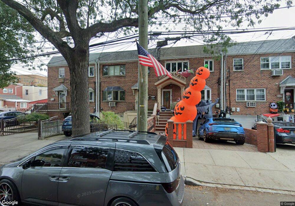
13215 89th St Ozone Park, NY 11417
Ozone Park NeighborhoodEstimated Value: $1,026,000 - $1,289,000
--
Bed
--
Bath
3,206
Sq Ft
$343/Sq Ft
Est. Value
About This Home
This home is located at 13215 89th St, Ozone Park, NY 11417 and is currently estimated at $1,099,604, approximately $342 per square foot. 13215 89th St is a home located in Queens County with nearby schools including P.S. 63 - Old South, Robert H. Goddard High School, and Divine Mercy Catholic Academy.
Ownership History
Date
Name
Owned For
Owner Type
Purchase Details
Closed on
Dec 15, 2004
Sold by
Fallica Co-Administrator Joseph M and Fallica Co-Administrator
Bought by
Nieves Anthony and Nieves Margaret
Current Estimated Value
Home Financials for this Owner
Home Financials are based on the most recent Mortgage that was taken out on this home.
Original Mortgage
$50,000
Outstanding Balance
$25,040
Interest Rate
5.73%
Estimated Equity
$1,074,564
Create a Home Valuation Report for This Property
The Home Valuation Report is an in-depth analysis detailing your home's value as well as a comparison with similar homes in the area
Home Values in the Area
Average Home Value in this Area
Purchase History
| Date | Buyer | Sale Price | Title Company |
|---|---|---|---|
| Nieves Anthony | $490,000 | -- | |
| Nieves Anthony | $490,000 | -- |
Source: Public Records
Mortgage History
| Date | Status | Borrower | Loan Amount |
|---|---|---|---|
| Open | Nieves Anthony | $50,000 | |
| Closed | Nieves Anthony | $50,000 | |
| Previous Owner | Nieves Anthony | $391,000 |
Source: Public Records
Tax History Compared to Growth
Tax History
| Year | Tax Paid | Tax Assessment Tax Assessment Total Assessment is a certain percentage of the fair market value that is determined by local assessors to be the total taxable value of land and additions on the property. | Land | Improvement |
|---|---|---|---|---|
| 2025 | $9,008 | $49,024 | $11,835 | $37,189 |
| 2024 | $9,020 | $46,249 | $12,188 | $34,061 |
| 2023 | $8,482 | $43,632 | $11,979 | $31,653 |
| 2022 | $8,423 | $54,960 | $18,120 | $36,840 |
| 2021 | $8,817 | $55,020 | $18,120 | $36,900 |
| 2020 | $8,351 | $52,320 | $18,120 | $34,200 |
| 2019 | $7,770 | $44,820 | $18,120 | $26,700 |
| 2018 | $7,114 | $36,360 | $16,512 | $19,848 |
| 2017 | $7,112 | $36,360 | $18,060 | $18,300 |
| 2016 | $6,904 | $36,360 | $18,060 | $18,300 |
| 2015 | $4,216 | $34,045 | $17,573 | $16,472 |
| 2014 | $4,216 | $32,118 | $19,421 | $12,697 |
Source: Public Records
Map
Nearby Homes
- 132-18 89th St
- 84-07 Sutter Ave
- 10751 89th St
- 107-50 90th St
- 9108 Sutter Ave
- 8837 Pitkin Ave
- 8851 Pitkin Ave
- 107-20 92nd St
- 107-62 93rd St
- 91-25 Gold Rd
- 10724 87th St
- 8509 Sutter Ave
- 105-47 88 St
- 133-28 86th St
- 90-28 Pitkin Ave Unit 1,2 and 3
- 84-28 108th Ave
- 105-43 88th St
- 84-11 Sutter Ave
- 13716 88th St
- 133-42 86th St
- 13217 89th St
- 13211 89th St
- 13219 89th St
- 132-12 90th St
- 132-12 90th St Unit 2
- 13212 90th St
- 13221 89th St
- 13214 90th St
- 8908 Sutter Ave
- 8906 Sutter Ave
- 8910 Sutter Ave
- 8904 Sutter Ave
- 8903 Gold Rd
- 8912 Sutter Ave
- 8914 Sutter Ave
- 8905 Gold Rd
- 13205 89th St
- 89-05 Gold Rd
- 13216 90th St
- 8916 Sutter Ave