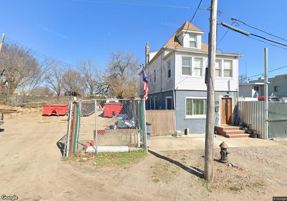
13215 Ruby St Jamaica, NY 11414
Howard Beach NeighborhoodEstimated Value: $100,804
Studio
--
Bath
--
Sq Ft
2,004
Sq Ft Lot
About This Home
This home is located at 13215 Ruby St, Jamaica, NY 11414 and is currently estimated at $100,804. 13215 Ruby St is a home located in Queens County with nearby schools including P.S. 232 - Lindenwood, Robert H. Goddard High School, and Our World Neighborhood Charter School 2.
Ownership History
Date
Name
Owned For
Owner Type
Purchase Details
Closed on
Sep 8, 2004
Sold by
Kj Development Llc
Bought by
Homestead State Capital Inc
Current Estimated Value
Purchase Details
Closed on
Nov 14, 2002
Sold by
Bourn Rebecca and Bourn Rodney
Bought by
Kj Development Llc
Purchase Details
Closed on
Apr 18, 1995
Sold by
Gennaro Dominick
Bought by
Bourn Katie and Helm Lakisha C
Home Financials for this Owner
Home Financials are based on the most recent Mortgage that was taken out on this home.
Original Mortgage
$9,500
Interest Rate
8.36%
Mortgage Type
Seller Take Back
Create a Home Valuation Report for This Property
The Home Valuation Report is an in-depth analysis detailing your home's value as well as a comparison with similar homes in the area
Home Values in the Area
Average Home Value in this Area
Purchase History
| Date | Buyer | Sale Price | Title Company |
|---|---|---|---|
| Homestead State Capital Inc | $55,000 | -- | |
| Kj Development Llc | $10,000 | -- | |
| Bourn Katie | $10,000 | -- |
Source: Public Records
Mortgage History
| Date | Status | Borrower | Loan Amount |
|---|---|---|---|
| Previous Owner | Bourn Katie | $9,500 |
Source: Public Records
Tax History
| Year | Tax Paid | Tax Assessment Tax Assessment Total Assessment is a certain percentage of the fair market value that is determined by local assessors to be the total taxable value of land and additions on the property. | Land | Improvement |
|---|---|---|---|---|
| 2025 | $4,640 | $42,903 | $42,903 | -- |
| 2024 | $4,640 | $43,803 | $43,803 | -- |
| 2023 | $4,551 | $42,750 | $42,750 | $0 |
| 2022 | $4,486 | $41,715 | $41,715 | $0 |
| 2021 | $4,331 | $40,500 | $40,500 | $0 |
| 2020 | $4,979 | $49,950 | $49,950 | $0 |
| 2019 | $4,825 | $48,600 | $48,600 | $0 |
| 2018 | $4,656 | $44,280 | $44,280 | $0 |
| 2017 | $4,514 | $42,930 | $42,930 | $0 |
| 2016 | $4,520 | $42,930 | $42,930 | $0 |
| 2015 | $1,423 | $42,840 | $42,840 | $0 |
| 2014 | $1,423 | $34,428 | $34,428 | $0 |
Source: Public Records
Map
Nearby Homes
- 13225 Ruby St
- 7602 Blake Ave
- 365 Forbell St
- 1474 Blake Ave
- 1472 Blake Ave
- 705 Eldert Ln Unit 709
- 107-53 77th St
- 133- 38 Amber St
- 759 Drew St
- 1460 Sutter Ave
- 133-24 78th St
- 132-30 80th St
- 568 Drew St
- 557 Drew St
- 132-12 82nd St
- 699 N Conduit Blvd
- 1128 Belmont Ave
- 13225 82nd St
- 7917 Glenmore Ave
- 10531 79th St
Your Personal Tour Guide
Ask me questions while you tour the home.