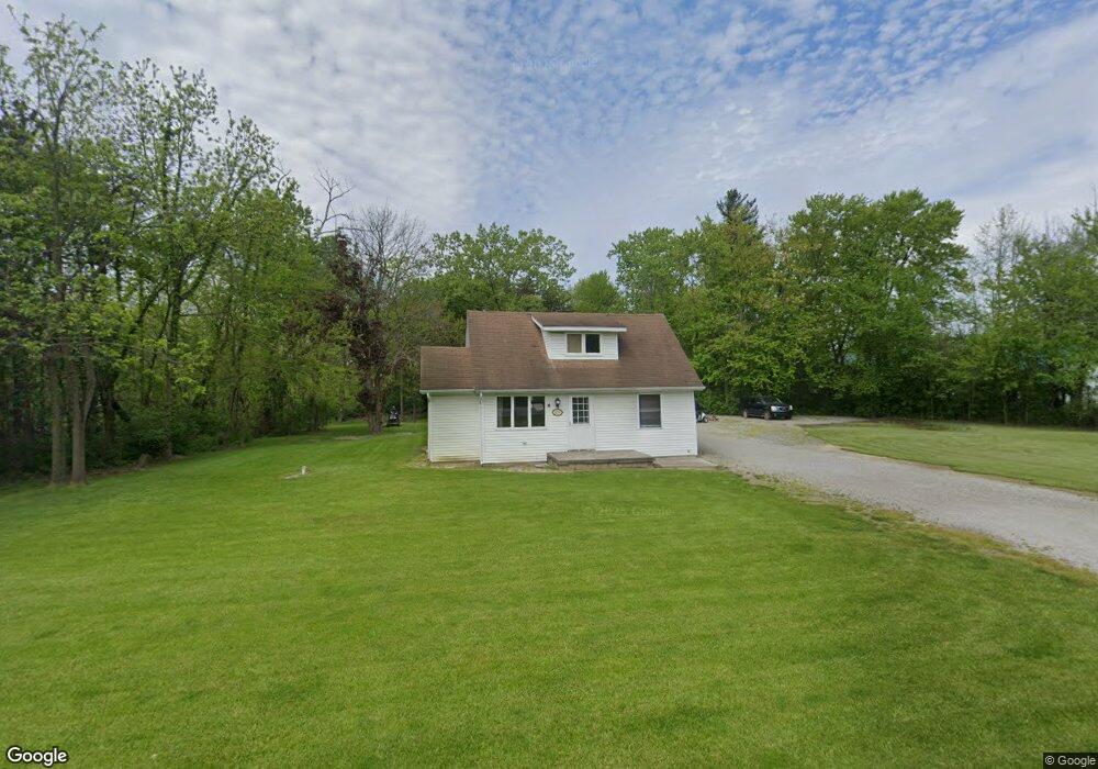
13216 Clark St Crown Point, IN 46307
Estimated Value: $242,000 - $294,000
3
Beds
2
Baths
1,490
Sq Ft
$181/Sq Ft
Est. Value
About This Home
This home is located at 13216 Clark St, Crown Point, IN 46307 and is currently estimated at $269,717, approximately $181 per square foot. 13216 Clark St is a home located in Lake County with nearby schools including Douglas MacArthur Elementary School, Robert Taft Middle School, and Crown Point High School.
Ownership History
Date
Name
Owned For
Owner Type
Purchase Details
Closed on
Sep 23, 2025
Sold by
Mustang Investment Properties Llc
Bought by
Kubiak Ronald
Current Estimated Value
Home Financials for this Owner
Home Financials are based on the most recent Mortgage that was taken out on this home.
Original Mortgage
$146,250
Outstanding Balance
$146,120
Interest Rate
6.58%
Mortgage Type
New Conventional
Estimated Equity
$123,597
Purchase Details
Closed on
Sep 30, 2011
Sold by
Glade Elmer J and Glade Louise G
Bought by
Mustang Investment Properties Llc
Purchase Details
Closed on
Jun 16, 2011
Sold by
Glade Elmer J and Elmer J Glade Living Trust
Bought by
Glade Elmer J and Elmer J Glade Living Trust
Purchase Details
Closed on
Aug 17, 2009
Sold by
Glade Elmer J and Glade Louise G
Bought by
Glade Elmer J and The Elmer J Glade Trust
Create a Home Valuation Report for This Property
The Home Valuation Report is an in-depth analysis detailing your home's value as well as a comparison with similar homes in the area
Home Values in the Area
Average Home Value in this Area
Purchase History
| Date | Buyer | Sale Price | Title Company |
|---|---|---|---|
| Kubiak Ronald | -- | Greater Indiana Title Company | |
| Mustang Investment Properties Llc | -- | None Available | |
| Glade Elmer J | -- | None Available | |
| Glade Elmer J | -- | None Available |
Source: Public Records
Mortgage History
| Date | Status | Borrower | Loan Amount |
|---|---|---|---|
| Open | Kubiak Ronald | $146,250 |
Source: Public Records
Tax History Compared to Growth
Tax History
| Year | Tax Paid | Tax Assessment Tax Assessment Total Assessment is a certain percentage of the fair market value that is determined by local assessors to be the total taxable value of land and additions on the property. | Land | Improvement |
|---|---|---|---|---|
| 2024 | $3,691 | $186,300 | $60,000 | $126,300 |
| 2023 | $3,064 | $173,700 | $60,000 | $113,700 |
| 2022 | $3,064 | $164,100 | $60,000 | $104,100 |
| 2021 | $2,745 | $154,100 | $60,000 | $94,100 |
| 2020 | $2,906 | $154,500 | $60,000 | $94,500 |
| 2019 | $2,818 | $146,700 | $60,000 | $86,700 |
| 2018 | $2,904 | $156,000 | $60,000 | $96,000 |
| 2017 | $2,956 | $143,700 | $60,000 | $83,700 |
| 2016 | $2,958 | $142,900 | $60,000 | $82,900 |
| 2014 | $2,843 | $145,800 | $60,000 | $85,800 |
| 2013 | $2,832 | $145,200 | $60,000 | $85,200 |
Source: Public Records
Map
Nearby Homes
- 4422 W 133rd Ave
- 12860 Baker Ct
- 12812 Whitcomb St
- 12715 Cedar Lake Rd
- The Quinn Plan at Lakeside
- The Huntley Plan at Lakeside
- The Cole Plan at Lakeside
- The Asher Plan at Lakeside
- The Dover Plan at Lakeside
- The Lester Plan at Lakeside
- The Kade Plan at Lakeside
- The Nicholas Plan at Lakeside
- 13417 Lakeside Blvd
- The Sadie Plan at Lakeside
- The Shelly Plan at Lakeside
- The Brooks Plan at Lakeside
- The Sawyer Plan at Lakeside
- The Foster Plan at Lakeside
- The Powell II Plan at Lakeside
- The Alverstone Plan at Lakeside
- 13220 Clark St
- 13210 Clark St
- 13201 Clark St
- 13224 Clark St
- 13224 Clark St
- 13130 Clark St
- 13130 Clark St
- 13230 Clark St
- 13218 Cedar Lake Rd
- 4714 W 133rd Ave
- 5118 W 133rd Ave
- 13124 Clark St
- 5020 W 133rd Ave
- 13322 Reeder Rd
- 13108 Clark St
- 13301 Reeder Rd
- 5320 W 133rd Ave
- 13134 Cedar Lake Rd
- 4422 W 133rd Ave
- 13101 Clark St