13217 Royal Dune New Buffalo, MI 49117
Estimated Value: $1,866,000 - $5,197,111
4
Beds
5
Baths
4,581
Sq Ft
$771/Sq Ft
Est. Value
About This Home
This home is located at 13217 Royal Dune, New Buffalo, MI 49117 and is currently estimated at $3,531,556, approximately $770 per square foot. 13217 Royal Dune is a home located in Berrien County with nearby schools including New Buffalo Elementary School, New Buffalo Middle School, and New Buffalo Senior High School.
Ownership History
Date
Name
Owned For
Owner Type
Purchase Details
Closed on
Jun 30, 2021
Sold by
Bosack Linda B and Linda B Bosack Revocable Trust
Bought by
Bosack Robert C and Linda B Bosack Gift Trusts
Current Estimated Value
Purchase Details
Closed on
Dec 21, 2009
Sold by
Forest Beach Condominium Association Of
Bought by
New Buffalo Land Improvement Company
Purchase Details
Closed on
Oct 9, 2000
Purchase Details
Closed on
May 8, 1998
Purchase Details
Closed on
Nov 8, 1991
Create a Home Valuation Report for This Property
The Home Valuation Report is an in-depth analysis detailing your home's value as well as a comparison with similar homes in the area
Home Values in the Area
Average Home Value in this Area
Purchase History
| Date | Buyer | Sale Price | Title Company |
|---|---|---|---|
| Bosack Robert C | -- | None Available | |
| New Buffalo Land Improvement Company | -- | Fat | |
| -- | $625,000 | -- | |
| -- | $590,000 | -- | |
| -- | $395,000 | -- |
Source: Public Records
Tax History Compared to Growth
Tax History
| Year | Tax Paid | Tax Assessment Tax Assessment Total Assessment is a certain percentage of the fair market value that is determined by local assessors to be the total taxable value of land and additions on the property. | Land | Improvement |
|---|---|---|---|---|
| 2025 | $52,991 | $3,013,700 | $0 | $0 |
| 2024 | $33,989 | $2,259,200 | $0 | $0 |
| 2023 | $32,371 | $1,679,000 | $0 | $0 |
| 2022 | $30,829 | $1,332,500 | $0 | $0 |
| 2021 | $46,467 | $1,282,500 | $564,000 | $718,500 |
| 2020 | $45,464 | $1,288,600 | $0 | $0 |
| 2019 | $44,971 | $2,203,200 | $1,259,900 | $943,300 |
| 2018 | $44,467 | $1,761,700 | $0 | $0 |
| 2017 | $44,727 | $1,720,800 | $0 | $0 |
| 2016 | $42,168 | $1,768,200 | $0 | $0 |
| 2015 | $41,927 | $1,777,100 | $0 | $0 |
| 2014 | $27,410 | $1,471,700 | $0 | $0 |
Source: Public Records
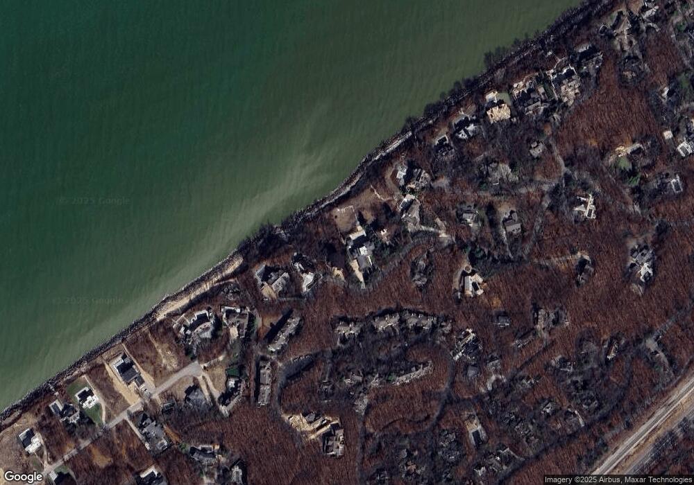
Map
Nearby Homes
- 18654 Oldfield Rd
- 18734 Leonard Ct
- 18774 Old Field Rd
- 13078 Fedde Ave
- 52300 E Arnold Dr
- 51113 Main Dr
- 18790 Park View Dr
- 51323 Erich Ln
- 1501 Shore Dr
- 1501 W Water St Unit 71
- 1414 Shore Dr
- 1321 Shore Dr
- 13077 Wilson Rd
- 52300 E Arnold - Land Dr
- 50005 High Point Ln
- 1111 Shore Dr
- 121 S Marshall St
- 49106 Sun Valley Falls Blvd
- 49209 Howard Ave
- 13254 Wilson Rd
- 13201 Royal Dune
- 13241 Royal Dune
- 13255 Royal Dune
- 13183 Royal Dune
- 13186 Royal Dune
- 18476 Dunecrest Dr Unit 2
- 18476 Dunecrest Dr Unit 18
- 18476 Dunecrest Dr Unit 17
- 18476 Dunecrest Dr
- 18460 Dunecrest Dr Unit 16
- 18460 Dunecrest Dr Unit 15
- 18460 Dunecrest Dr Unit 14
- 18460 Dunecrest Dr Unit 13
- 18460 Dunecrest Dr
- 18500 Dunecrest Dr Unit 24
- 18500 Dunecrest Dr Unit 23
- 18500 Dunecrest Dr Unit 22
- 18500 Dunecrest Dr Unit 21
- 18500 Dunecrest Dr
- 13160 Sunset Point