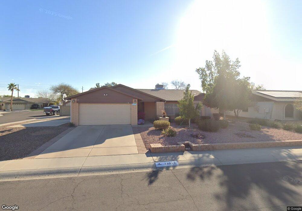
13219 N 60th Ave Glendale, AZ 85304
Estimated Value: $405,936 - $524,000
--
Bed
2
Baths
2,319
Sq Ft
$205/Sq Ft
Est. Value
About This Home
This home is located at 13219 N 60th Ave, Glendale, AZ 85304 and is currently estimated at $474,484, approximately $204 per square foot. 13219 N 60th Ave is a home located in Maricopa County with nearby schools including Desert Valley Elementary School, Ironwood High School, and Legacy Traditional School - Glendale.
Ownership History
Date
Name
Owned For
Owner Type
Purchase Details
Closed on
Feb 18, 2025
Sold by
Ream David L and Ream Patricia A
Bought by
David And Patricia Ream Family Trust and Ream
Current Estimated Value
Purchase Details
Closed on
Jun 26, 2000
Sold by
Braden James and Braden Donna
Bought by
Ream David L and Ream Patricia
Home Financials for this Owner
Home Financials are based on the most recent Mortgage that was taken out on this home.
Original Mortgage
$152,100
Interest Rate
8.2%
Mortgage Type
New Conventional
Create a Home Valuation Report for This Property
The Home Valuation Report is an in-depth analysis detailing your home's value as well as a comparison with similar homes in the area
Home Values in the Area
Average Home Value in this Area
Purchase History
| Date | Buyer | Sale Price | Title Company |
|---|---|---|---|
| David And Patricia Ream Family Trust | -- | None Listed On Document | |
| Ream David L | $169,000 | Chicago Title Insurance Co |
Source: Public Records
Mortgage History
| Date | Status | Borrower | Loan Amount |
|---|---|---|---|
| Previous Owner | Ream David L | $152,100 |
Source: Public Records
Tax History Compared to Growth
Tax History
| Year | Tax Paid | Tax Assessment Tax Assessment Total Assessment is a certain percentage of the fair market value that is determined by local assessors to be the total taxable value of land and additions on the property. | Land | Improvement |
|---|---|---|---|---|
| 2025 | $1,579 | $20,714 | -- | -- |
| 2024 | $1,611 | $19,728 | -- | -- |
| 2023 | $1,611 | $35,260 | $7,050 | $28,210 |
| 2022 | $1,596 | $27,470 | $5,490 | $21,980 |
| 2021 | $1,714 | $25,180 | $5,030 | $20,150 |
| 2020 | $1,739 | $24,870 | $4,970 | $19,900 |
| 2019 | $1,691 | $23,480 | $4,690 | $18,790 |
| 2018 | $1,651 | $21,960 | $4,390 | $17,570 |
| 2017 | $1,662 | $18,720 | $3,740 | $14,980 |
| 2016 | $1,652 | $18,430 | $3,680 | $14,750 |
| 2015 | $1,549 | $18,720 | $3,740 | $14,980 |
Source: Public Records
Map
Nearby Homes
- 5757 W Eugie Ave Unit 1040
- 5757 W Eugie Ave Unit 2081
- 5757 W Eugie Ave Unit 2100
- 12748 N 57th Dr
- 6128 W Columbine Dr
- 14052 N 61st Ave
- 12480 N 57th Dr
- 12334 N 58th Dr
- 6015 W Crocus Dr
- 5839 W Hearn Rd
- 12316 N 58th Dr
- 6137 W Crocus Dr
- 5537 W Boca Raton Rd
- 5620 W Thunderbird Rd Unit D-4
- 5740 W Hearn Rd
- 12327 N 57th Dr
- 5727 W Crocus Dr
- 6504 W Corrine Dr
- 14426 N 58th Dr
- 6602 W Surrey Ave
- 13213 N 60th Ave
- 5935 W Pershing Ave
- 5940 W Pershing Ave
- 13220 N 60th Ave
- 5938 W Surrey Ave
- 5934 W Pershing Ave
- 13226 N 60th Ave
- 13214 N 60th Ave
- 5927 W Pershing Ave
- 5930 W Surrey Ave
- 5928 W Pershing Ave
- 13210 N 59th Dr
- 13232 N 60th Ave
- 6004 W Surrey Ave
- 13216 N 59th Dr
- 13239 N 60th Ave
- 13204 N 59th Dr
- 6017 W Pershing Ave
- 13238 N 60th Ave
- 6012 W Surrey Ave