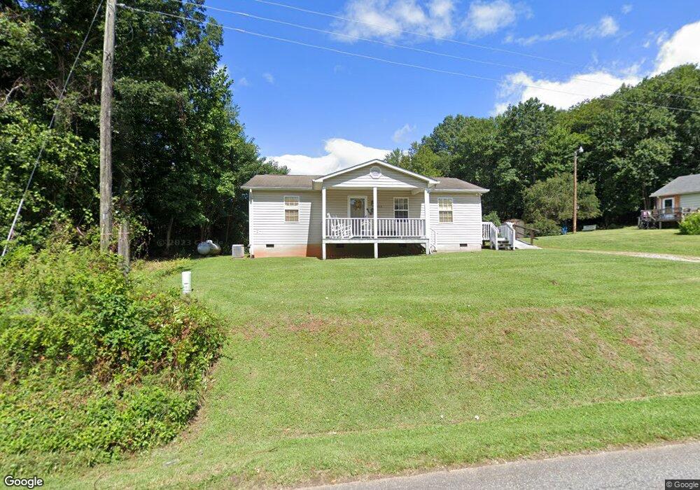
1322 Avery Rd Morganton, NC 28655
Estimated Value: $189,946 - $254,000
2
Beds
1
Bath
1,040
Sq Ft
$213/Sq Ft
Est. Value
About This Home
This home is located at 1322 Avery Rd, Morganton, NC 28655 and is currently estimated at $221,487, approximately $212 per square foot. 1322 Avery Rd is a home located in Burke County with nearby schools including Oak Hill Elementary School, Table Rock Middle School, and Freedom High School.
Ownership History
Date
Name
Owned For
Owner Type
Purchase Details
Closed on
Aug 12, 2025
Sold by
Kanipe Gladys Louiva
Bought by
Kanipe Gladys Louiva and Jackson Chad E
Current Estimated Value
Purchase Details
Closed on
Jul 10, 2025
Sold by
Kanipe Gladys Louvia
Bought by
Kanipe Gladys Louvia and Jackson Chad E
Create a Home Valuation Report for This Property
The Home Valuation Report is an in-depth analysis detailing your home's value as well as a comparison with similar homes in the area
Home Values in the Area
Average Home Value in this Area
Purchase History
| Date | Buyer | Sale Price | Title Company |
|---|---|---|---|
| Kanipe Gladys Louiva | $3,000 | None Listed On Document | |
| Kanipe Gladys Louiva | -- | None Listed On Document | |
| Kanipe Gladys Louiva | $3,000 | None Listed On Document | |
| Kanipe Gladys Louiva | -- | None Listed On Document | |
| Kanipe Gladys Louvia | -- | None Listed On Document | |
| Kanipe Gladys Louvia | -- | None Listed On Document |
Source: Public Records
Tax History
| Year | Tax Paid | Tax Assessment Tax Assessment Total Assessment is a certain percentage of the fair market value that is determined by local assessors to be the total taxable value of land and additions on the property. | Land | Improvement |
|---|---|---|---|---|
| 2025 | $521 | $147,815 | $13,279 | $134,536 |
| 2024 | $524 | $147,815 | $13,279 | $134,536 |
| 2023 | $524 | $147,815 | $13,279 | $134,536 |
| 2022 | $393 | $87,921 | $9,823 | $78,098 |
| 2021 | $390 | $87,921 | $9,823 | $78,098 |
| 2020 | $354 | $87,921 | $9,823 | $78,098 |
| 2019 | $354 | $87,921 | $9,823 | $78,098 |
| 2018 | $404 | $91,532 | $9,823 | $81,709 |
| 2017 | $403 | $91,532 | $9,823 | $81,709 |
| 2016 | $394 | $91,532 | $9,823 | $81,709 |
| 2015 | $752 | $89,672 | $9,823 | $79,849 |
| 2014 | $751 | $89,672 | $9,823 | $79,849 |
| 2013 | $742 | $89,672 | $9,823 | $79,849 |
Source: Public Records
Map
Nearby Homes
- 2937 Frank Whisnant Rd
- 3026 Coventry Dr
- 1629 Nc 126
- 3666 Grandview Dr
- 3680 Grandview Dr
- 2556 Nc 126
- 1052 Benfield Woods
- 1446 Bridlewood Ln
- 1156 Oak Forest Dr
- 0 Oak Forest Dr
- 1088 Faith Ct
- 1053 Faith Ct
- 1095 Faith Ct
- 1022 Faith Ct
- 1080 Faith Ct
- 1096 Faith Ct
- 1079 Faith Ct
- 1008 Faith Ct
- 1437 Oak Hill Dr
- 1735 Roy Caldwell St
- 1310 Avery Rd
- 0 Avery Rd
- 1333 Avery Rd
- 1290 Avery Rd
- 1357 Avery Rd
- 1370 Avery Rd Unit 1380
- 2180 Hidden Hill St
- 1283 Avery Rd
- 1379 Avery Rd
- 2164 Hidden Hill St
- 1258 Avery Rd
- V/L Avery Rd
- 2140 Hidden Hill St
- 1256 Avery Rd
- 1250 Avery Rd Unit 1252
- 1391 Avery Rd
- 1309 Avery Rd
- 1240 Avery Rd
- 1235 Avery Rd
- 1422 Avery Rd
Your Personal Tour Guide
Ask me questions while you tour the home.