1322 Craig Dr Iron Station, NC 28080
Estimated Value: $115,219 - $214,000
3
Beds
2
Baths
1,152
Sq Ft
$148/Sq Ft
Est. Value
About This Home
This home is located at 1322 Craig Dr, Iron Station, NC 28080 and is currently estimated at $170,555, approximately $148 per square foot. 1322 Craig Dr is a home located in Lincoln County with nearby schools including Iron Station Elementary School, East Lincoln Middle School, and East Lincoln High School.
Ownership History
Date
Name
Owned For
Owner Type
Purchase Details
Closed on
Apr 14, 2008
Sold by
Carver Sherman and Carver Barbara
Bought by
Pressley Becky and Pressley Ronnie
Current Estimated Value
Home Financials for this Owner
Home Financials are based on the most recent Mortgage that was taken out on this home.
Original Mortgage
$55,575
Outstanding Balance
$35,406
Interest Rate
6.08%
Mortgage Type
Purchase Money Mortgage
Estimated Equity
$135,149
Purchase Details
Closed on
Jun 22, 1995
Bought by
Carver Sherman and Barbara Carver
Create a Home Valuation Report for This Property
The Home Valuation Report is an in-depth analysis detailing your home's value as well as a comparison with similar homes in the area
Home Values in the Area
Average Home Value in this Area
Purchase History
| Date | Buyer | Sale Price | Title Company |
|---|---|---|---|
| Pressley Becky | $59,000 | None Available | |
| Carver Sherman | $6,500 | -- |
Source: Public Records
Mortgage History
| Date | Status | Borrower | Loan Amount |
|---|---|---|---|
| Open | Pressley Becky | $55,575 |
Source: Public Records
Tax History Compared to Growth
Tax History
| Year | Tax Paid | Tax Assessment Tax Assessment Total Assessment is a certain percentage of the fair market value that is determined by local assessors to be the total taxable value of land and additions on the property. | Land | Improvement |
|---|---|---|---|---|
| 2025 | $759 | $99,938 | $25,100 | $74,838 |
| 2024 | $739 | $99,938 | $25,100 | $74,838 |
| 2023 | $720 | $99,938 | $25,100 | $74,838 |
| 2022 | $594 | $65,129 | $20,500 | $44,629 |
| 2021 | $594 | $65,129 | $20,500 | $44,629 |
| 2020 | $466 | $65,129 | $20,500 | $44,629 |
| 2019 | $466 | $65,129 | $20,500 | $44,629 |
| 2018 | $502 | $55,086 | $18,500 | $36,586 |
| 2017 | $401 | $55,086 | $18,500 | $36,586 |
| 2016 | $401 | $55,086 | $18,500 | $36,586 |
| 2015 | $479 | $55,086 | $18,500 | $36,586 |
| 2014 | $551 | $66,104 | $19,400 | $46,704 |
Source: Public Records
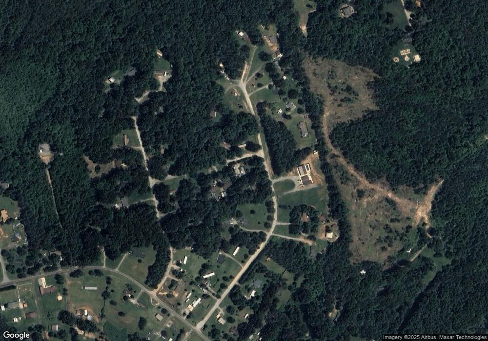
Map
Nearby Homes
- 1279 Craig Dr
- 3960 Orchard Rd
- 3388 Rhyne Forest Rd
- 00 Timber Rd
- 1485 Adkin Dr
- 375 Timber Rd
- 5038 Arden Gate Dr
- 5486 E Highway 27
- 5039 Penn Rd
- 0 Wolf Rd Unit 8
- Lot #42 Sardis Ct
- 1481 Depot St
- 1554 Forum Ln
- 1615 Oak Park Ct
- 189 Fea Ln
- Lot 6 Walnut Ridge Rd Unit 6
- 4394 Mountain Creek Rd
- 4859 Paysour Pond Rd
- 3132 Fox Den Cir
- 6 Hager Mountain Ln