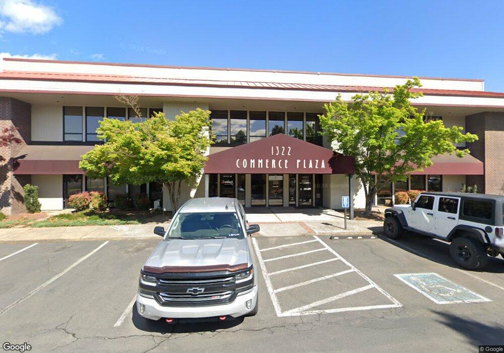
1322 E McAndrews Rd Medford, OR 97504
Estimated Value: $2,753,617
--
Bed
--
Bath
6,000
Sq Ft
$459/Sq Ft
Est. Value
About This Home
This home is located at 1322 E McAndrews Rd, Medford, OR 97504 and is currently estimated at $2,753,617, approximately $458 per square foot. 1322 E McAndrews Rd is a home located in Jackson County with nearby schools including Wilson Elementary School, Hedrick Middle School, and North Medford High School.
Ownership History
Date
Name
Owned For
Owner Type
Purchase Details
Closed on
Jul 28, 2022
Sold by
Pap Llc
Bought by
Rogue Community Health
Current Estimated Value
Home Financials for this Owner
Home Financials are based on the most recent Mortgage that was taken out on this home.
Original Mortgage
$2,188,000
Outstanding Balance
$1,642,197
Interest Rate
5.78%
Mortgage Type
New Conventional
Estimated Equity
$1,111,420
Purchase Details
Closed on
Dec 22, 2008
Sold by
Peak Priscilla A
Bought by
Pap Llc
Purchase Details
Closed on
Jun 28, 1999
Sold by
Edmunds L Henry and Stengel Gretchen B
Bought by
Peak Priscilla Ann
Create a Home Valuation Report for This Property
The Home Valuation Report is an in-depth analysis detailing your home's value as well as a comparison with similar homes in the area
Home Values in the Area
Average Home Value in this Area
Purchase History
| Date | Buyer | Sale Price | Title Company |
|---|---|---|---|
| Rogue Community Health | $2,735,000 | Ticor Title | |
| Pap Llc | -- | Accommodation | |
| Peak Priscilla Ann | $1,377,690 | Amerititle |
Source: Public Records
Mortgage History
| Date | Status | Borrower | Loan Amount |
|---|---|---|---|
| Open | Rogue Community Health | $2,188,000 |
Source: Public Records
Tax History Compared to Growth
Tax History
| Year | Tax Paid | Tax Assessment Tax Assessment Total Assessment is a certain percentage of the fair market value that is determined by local assessors to be the total taxable value of land and additions on the property. | Land | Improvement |
|---|---|---|---|---|
| 2025 | $10,722 | -- | -- | -- |
| 2024 | $10,722 | $717,810 | $303,750 | $414,060 |
| 2023 | $10,394 | $2,177,830 | $921,560 | $1,256,270 |
| 2022 | $31,688 | $2,177,830 | $921,560 | $1,256,270 |
| 2021 | $30,869 | $2,114,400 | $894,720 | $1,219,680 |
| 2020 | $30,215 | $2,052,820 | $868,660 | $1,184,160 |
| 2019 | $29,501 | $1,934,990 | $818,800 | $1,116,190 |
| 2018 | $28,745 | $1,878,640 | $794,950 | $1,083,690 |
| 2017 | $28,225 | $1,878,640 | $794,950 | $1,083,690 |
| 2016 | $28,410 | $1,770,810 | $749,320 | $1,021,490 |
| 2015 | $27,106 | $1,770,810 | $749,320 | $1,021,490 |
| 2014 | $27,503 | $1,719,240 | $727,500 | $991,740 |
Source: Public Records
Map
Nearby Homes
- 1411 E McAndrews Rd
- 1225 Corona Ave
- 1228 Corona Ave
- 1215 Covina Ave
- 3626 Ford Dr
- 1461 Johnson St
- 1220 Morrow Rd
- 1212 Morrow Rd
- 1202 Morrow Rd Unit A
- 1512 Nordic Ct
- 824 N Riverside Ave
- 1588 Nordic Ct
- 1448 Carolyn Cir
- 1049 Beatty St
- 1536 Oleander St
- 1021 Niantic St
- 1744 Concord Way
- 1167 Skeeters Ln
- 2749 Pronghorn Ln
- 1111 Stevens St Unit 1
- 1322 E McAndrews Rd Unit 103
- 1322 E McAndrews Rd Unit 102
- 1322 E McAndrews Rd Unit 101
- 1420 E McAndrews Rd
- 950 Town Centre Dr
- 940 Town Centre Dr
- 940 Town Centre Dr Unit b
- 1319 E McAndrews Rd
- 1430 E McAndrews Rd
- 1085 Royal Ct
- 928 Town Centre Dr
- 930 Town Centre Dr
- 955 Town Centre Dr Unit C
- 955 Town Centre Dr Unit A
- 955 Town Centre Dr Unit B
- 955 Town Centre Dr Unit B
- 1353 E McAndrews Rd
- 1130 Biddle Rd
- 1130 Biddle Rd Unit 1130
- 1110 Biddle Rd Unit 1110