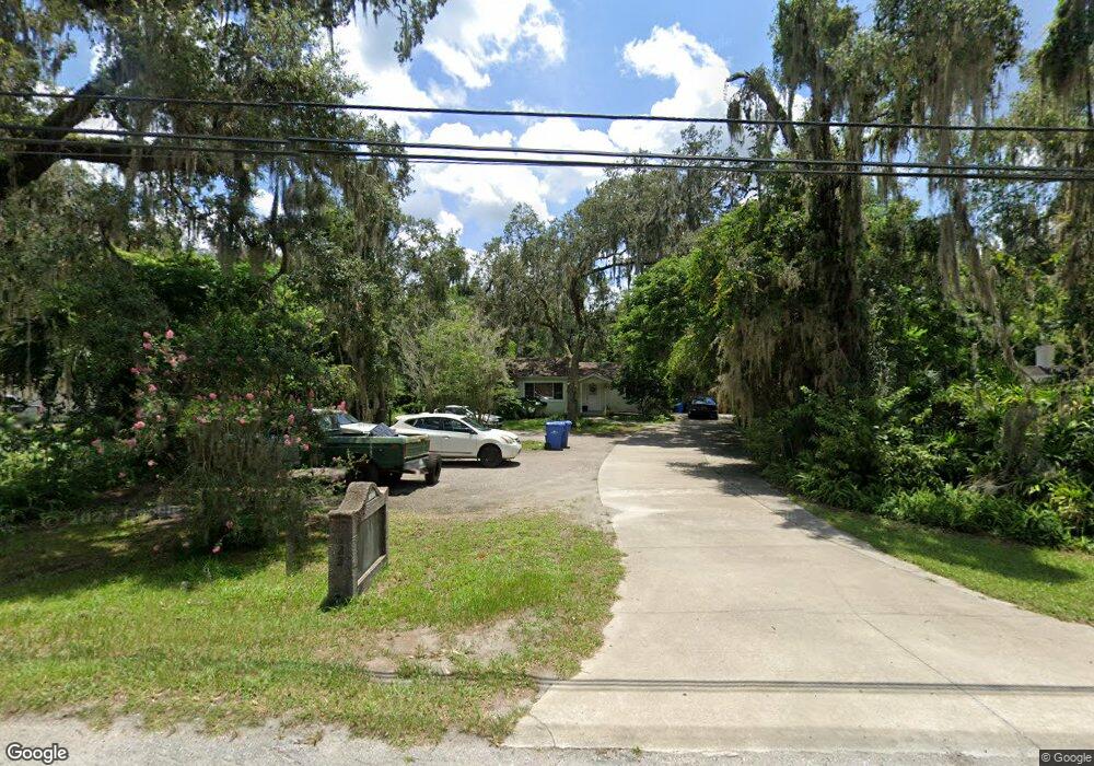
1322 E New York Ave de Land, FL 32724
Estimated Value: $162,000 - $246,000
2
Beds
2
Baths
1,184
Sq Ft
$182/Sq Ft
Est. Value
About This Home
This home is located at 1322 E New York Ave, de Land, FL 32724 and is currently estimated at $215,207, approximately $181 per square foot. 1322 E New York Ave is a home located in Volusia County with nearby schools including Blue Lake Elementary School, Deland High School, and Deland Middle School.
Ownership History
Date
Name
Owned For
Owner Type
Purchase Details
Closed on
May 31, 2005
Sold by
Mason Charles Andrew
Bought by
Basso Richard
Current Estimated Value
Purchase Details
Closed on
Mar 16, 2005
Sold by
Flint Hollis M and Flint Adela D
Bought by
Mason Charles A
Home Financials for this Owner
Home Financials are based on the most recent Mortgage that was taken out on this home.
Original Mortgage
$100,000
Interest Rate
5.66%
Mortgage Type
Commercial
Purchase Details
Closed on
May 20, 1998
Sold by
Flint Adela S and Flint Adela D
Bought by
Flint Hollis M
Purchase Details
Closed on
Sep 15, 1987
Bought by
Basso Richard
Create a Home Valuation Report for This Property
The Home Valuation Report is an in-depth analysis detailing your home's value as well as a comparison with similar homes in the area
Home Values in the Area
Average Home Value in this Area
Purchase History
| Date | Buyer | Sale Price | Title Company |
|---|---|---|---|
| Basso Richard | $185,000 | Professional Title & Escrow | |
| Mason Charles A | $120,000 | Professional Title & Escrow | |
| Flint Hollis M | -- | -- | |
| Basso Richard | $100 | -- |
Source: Public Records
Mortgage History
| Date | Status | Borrower | Loan Amount |
|---|---|---|---|
| Previous Owner | Mason Charles A | $100,000 |
Source: Public Records
Tax History Compared to Growth
Tax History
| Year | Tax Paid | Tax Assessment Tax Assessment Total Assessment is a certain percentage of the fair market value that is determined by local assessors to be the total taxable value of land and additions on the property. | Land | Improvement |
|---|---|---|---|---|
| 2025 | $2,393 | $113,994 | $53,152 | $60,842 |
| 2024 | $2,393 | $114,848 | $53,152 | $61,696 |
| 2023 | $2,393 | $110,626 | $52,186 | $58,440 |
| 2022 | $2,242 | $101,328 | $51,219 | $50,109 |
| 2021 | $2,215 | $92,328 | $49,286 | $43,042 |
| 2020 | $2,218 | $92,523 | $49,286 | $43,237 |
| 2019 | $2,239 | $87,630 | $45,421 | $42,209 |
| 2018 | $2,217 | $85,019 | $43,488 | $41,531 |
| 2017 | $2,127 | $79,059 | $43,488 | $35,571 |
| 2016 | $2,000 | $75,769 | $0 | $0 |
| 2015 | $1,976 | $72,524 | $0 | $0 |
| 2014 | $1,959 | $71,897 | $0 | $0 |
Source: Public Records
Map
Nearby Homes
- 1304 Tilapia Trail
- 1318 Pup Fish Ln
- 1307 Pup Fish Ln
- 1401 E Carolina Ave
- 206 Winslow Ave
- 1401 E Voorhis Ave
- 1402 E Voorhis Ave
- 1420 Wood St
- 318 S Massachusetts Ave
- 151 N Hill Ave Unit 100
- 183 N Hill Ave Unit 90
- 239 N Hill Ave Unit 110
- 241 N Hill Ave
- 201 N Hill Ave Unit 150
- 217 N Hill Ave Unit 20
- 319 Knot Way
- 109 S Colorado Ave
- 311 S Hill Ave
- 404 S Blue Lake Ave
- 1305 E Ohio Ave
- 1324 E New York Ave
- 1330 E New York Ave
- 1310 E New York Ave
- 0 Wood St Unit R4704213
- 104 Wade Ave
- 1355 E Howry Ave
- 1308 Tilapia Trail
- 1319 E Howry Ave
- 1312 Tilapia Trail
- 1300 Tilapia Trail
- 1316 Tilapia Trail
- 1315 E Howry Ave
- 155 S Massachusetts Ave
- 1350 E New York Ave
- E Howry Ave
- 1365 E Howry Ave
- 1320 Tilapia Trail
- 105 Wade Ave
- 1373 E Howry Ave
- 1324 Tilapia Trail