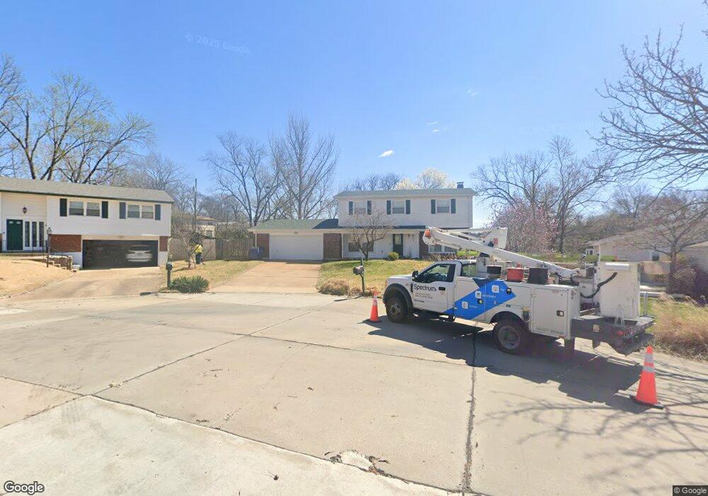
1322 Mirandy Ct Saint Louis, MO 63146
Estimated Value: $362,066 - $394,000
4
Beds
3
Baths
2,186
Sq Ft
$174/Sq Ft
Est. Value
About This Home
This home is located at 1322 Mirandy Ct, Saint Louis, MO 63146 and is currently estimated at $380,767, approximately $174 per square foot. 1322 Mirandy Ct is a home located in St. Louis County with nearby schools including Willow Brook Elementary School, Pattonville Heights Middle School, and Pattonville High School.
Ownership History
Date
Name
Owned For
Owner Type
Purchase Details
Closed on
Sep 23, 1999
Sold by
Kleffner Joseph W and Kleffner Kathleen
Bought by
Bosman Dwight D and Drisdel Bosman Cenia K
Current Estimated Value
Home Financials for this Owner
Home Financials are based on the most recent Mortgage that was taken out on this home.
Original Mortgage
$186,200
Outstanding Balance
$56,728
Interest Rate
8.18%
Estimated Equity
$324,039
Create a Home Valuation Report for This Property
The Home Valuation Report is an in-depth analysis detailing your home's value as well as a comparison with similar homes in the area
Home Values in the Area
Average Home Value in this Area
Purchase History
| Date | Buyer | Sale Price | Title Company |
|---|---|---|---|
| Bosman Dwight D | $196,000 | -- |
Source: Public Records
Mortgage History
| Date | Status | Borrower | Loan Amount |
|---|---|---|---|
| Open | Bosman Dwight D | $186,200 |
Source: Public Records
Tax History
| Year | Tax Paid | Tax Assessment Tax Assessment Total Assessment is a certain percentage of the fair market value that is determined by local assessors to be the total taxable value of land and additions on the property. | Land | Improvement |
|---|---|---|---|---|
| 2025 | $3,792 | $62,660 | $14,020 | $48,640 |
| 2024 | $3,792 | $54,090 | $8,760 | $45,330 |
| 2023 | $3,806 | $54,090 | $8,760 | $45,330 |
| 2022 | $3,544 | $45,830 | $10,510 | $35,320 |
| 2021 | $3,525 | $45,830 | $10,510 | $35,320 |
| 2020 | $3,298 | $41,160 | $10,510 | $30,650 |
| 2019 | $3,278 | $41,160 | $10,510 | $30,650 |
| 2018 | $3,131 | $36,040 | $8,760 | $27,280 |
| 2017 | $3,139 | $36,040 | $8,760 | $27,280 |
| 2016 | $2,886 | $32,490 | $9,630 | $22,860 |
Source: Public Records
Map
Nearby Homes
- 1342 Mirandy Dr
- 11040 Sandistan Dr
- 31 Ranch Ct
- 11152 Port Royal Dr
- 1060 Port Diane Dr
- 6 Nassau Cir
- 11636 Cedar Walk Dr Unit 155
- 11612 Heather Dale Dr
- 1010 Thoreau Ct Unit 310
- 1010 Thoreau Ct Unit 211
- 11709 Casa Grande Dr Unit E
- 11714 Casa Grande Dr
- 1033 Wilton Royal Dr Unit 206
- 970 N Spoede Rd Unit 17
- 866 Deaver Ln
- 18 Sona Ln
- 11523 Sandy View Dr
- 957 N Spoede Rd
- 1747 Russet Valley Dr Unit 63
- 1380 Willow Brook Cove Ct Unit 1
Your Personal Tour Guide
Ask me questions while you tour the home.