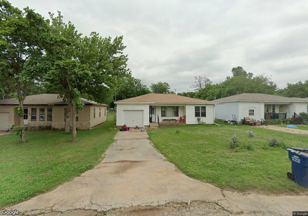
1322 N 1st St Harrah, OK 73045
Estimated Value: $119,000 - $134,000
3
Beds
1
Bath
846
Sq Ft
$149/Sq Ft
Est. Value
About This Home
This home is located at 1322 N 1st St, Harrah, OK 73045 and is currently estimated at $126,474, approximately $149 per square foot. 1322 N 1st St is a home located in Oklahoma County with nearby schools including Virginia Smith Elementary School, Russell Babb Elementary School, and Clara Reynolds Elementary School.
Ownership History
Date
Name
Owned For
Owner Type
Purchase Details
Closed on
May 4, 2023
Sold by
Rudek Carolyn Le
Bought by
S & M Property Enterprise Llc
Current Estimated Value
Home Financials for this Owner
Home Financials are based on the most recent Mortgage that was taken out on this home.
Original Mortgage
$82,406
Outstanding Balance
$73,634
Interest Rate
5.56%
Mortgage Type
New Conventional
Estimated Equity
$52,840
Purchase Details
Closed on
Feb 27, 2008
Sold by
Rudek Carolyn
Bought by
Brookes Carol S and Brand Theresa
Create a Home Valuation Report for This Property
The Home Valuation Report is an in-depth analysis detailing your home's value as well as a comparison with similar homes in the area
Home Values in the Area
Average Home Value in this Area
Purchase History
| Date | Buyer | Sale Price | Title Company |
|---|---|---|---|
| S & M Property Enterprise Llc | $80,000 | American Eagle Title Group | |
| Brookes Carol S | -- | None Available |
Source: Public Records
Mortgage History
| Date | Status | Borrower | Loan Amount |
|---|---|---|---|
| Open | S & M Property Enterprise Llc | $82,406 |
Source: Public Records
Tax History Compared to Growth
Tax History
| Year | Tax Paid | Tax Assessment Tax Assessment Total Assessment is a certain percentage of the fair market value that is determined by local assessors to be the total taxable value of land and additions on the property. | Land | Improvement |
|---|---|---|---|---|
| 2024 | $141 | $10,615 | $2,920 | $7,695 |
| 2023 | $141 | $3,436 | $890 | $2,546 |
| 2022 | $143 | $3,436 | $981 | $2,455 |
| 2021 | $143 | $3,436 | $598 | $2,838 |
| 2020 | $147 | $3,436 | $692 | $2,744 |
| 2019 | $147 | $3,436 | $677 | $2,759 |
| 2018 | $149 | $3,437 | $0 | $0 |
| 2017 | $146 | $3,435 | $590 | $2,845 |
| 2016 | $149 | $3,436 | $609 | $2,827 |
| 2015 | $147 | $3,436 | $620 | $2,816 |
| 2014 | $147 | $3,436 | $598 | $2,838 |
Source: Public Records
Map
Nearby Homes
- 1487 N 1st St
- Maple Plan at Brush Creek
- Lilac Plan at Brush Creek
- Rosemary Plan at Brush Creek
- Bradford Plan at Brush Creek
- Lavender Plan at Brush Creek
- 1239 N 2nd St
- 1650 N 1st St
- 20629 Twisted Oak Rd
- 972 Tim Holt Dr
- 20687 Brush Creek Blvd
- 20657 Brush Creek Blvd
- 20653 Brush Creek Blvd
- 20661 Brush Creek Blvd
- 20649 Brush Creek Blvd
- 20645 Brush Creek Blvd
- 20675 Brush Creek Blvd
- 900 Harrison St
- 2220 Church Ave
- 20652 Brush Creek Blvd
- 1310 N 1st St
- 1334 N 1st St
- 1348 N 1st St
- 1300 N 1st St
- 1284 N 1st St
- 1362 N 1st St
- 1370 N 1st St
- 1321 Tim Holt Dr
- 1337 Tim Holt Dr
- 1270 N 1st St
- 1297 Tim Holt Dr
- 1349 Tim Holt Dr
- 1303 N 1st St
- 20659 Penny Ln
- 1267 Tim Holt Dr
- 1347 N 1st St
- 1373 Tim Holt Dr
- 1263 Tim Holt Dr
- 1248 N 1st St
- 1371 N 1st St