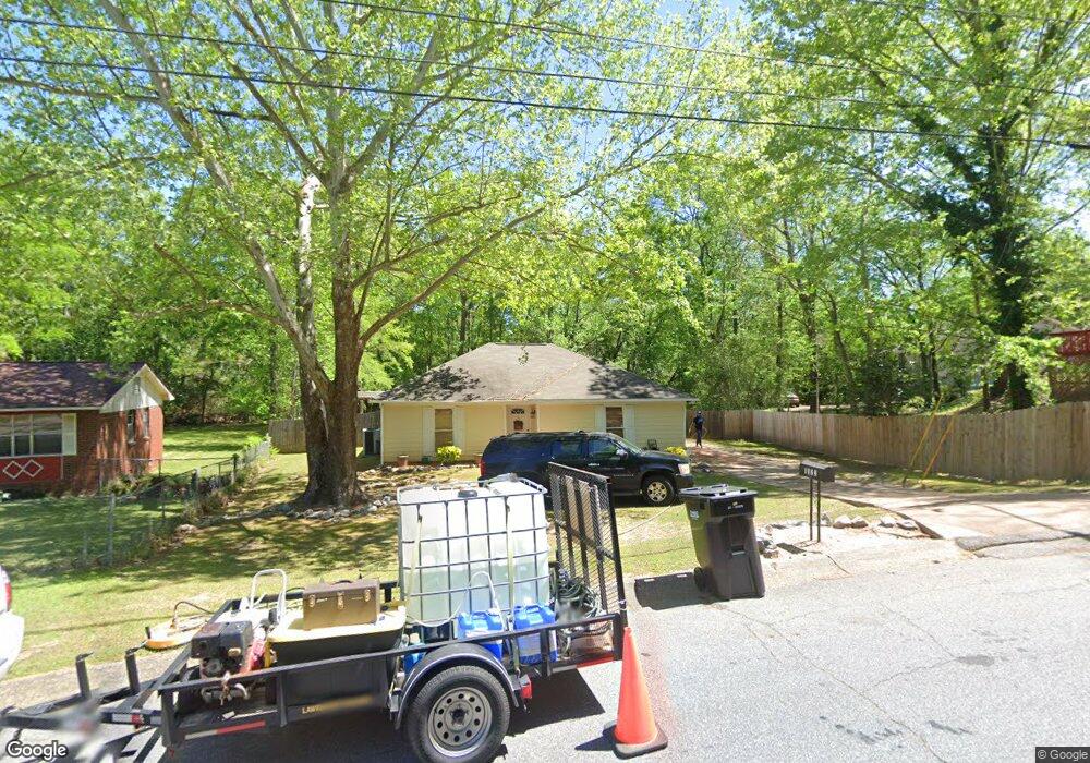
1322 Sturkie Dr Columbus, GA 31907
Eastern Columbus NeighborhoodEstimated Value: $128,000 - $151,192
3
Beds
3
Baths
1,207
Sq Ft
$114/Sq Ft
Est. Value
About This Home
This home is located at 1322 Sturkie Dr, Columbus, GA 31907 and is currently estimated at $137,548, approximately $113 per square foot. 1322 Sturkie Dr is a home located in Muscogee County with nearby schools including Georgetown Elementary School, Rothschild Leadership Academy, and Kendrick High School.
Ownership History
Date
Name
Owned For
Owner Type
Purchase Details
Closed on
Aug 30, 2007
Sold by
Ruiz Trinidad Nestor E
Bought by
Rogers Calandra E and Rogers Timothy L
Current Estimated Value
Home Financials for this Owner
Home Financials are based on the most recent Mortgage that was taken out on this home.
Original Mortgage
$123,601
Outstanding Balance
$78,576
Interest Rate
6.65%
Mortgage Type
VA
Estimated Equity
$58,972
Create a Home Valuation Report for This Property
The Home Valuation Report is an in-depth analysis detailing your home's value as well as a comparison with similar homes in the area
Home Values in the Area
Average Home Value in this Area
Purchase History
| Date | Buyer | Sale Price | Title Company |
|---|---|---|---|
| Rogers Calandra E | $121,000 | None Available |
Source: Public Records
Mortgage History
| Date | Status | Borrower | Loan Amount |
|---|---|---|---|
| Open | Rogers Calandra E | $123,601 |
Source: Public Records
Tax History Compared to Growth
Tax History
| Year | Tax Paid | Tax Assessment Tax Assessment Total Assessment is a certain percentage of the fair market value that is determined by local assessors to be the total taxable value of land and additions on the property. | Land | Improvement |
|---|---|---|---|---|
| 2025 | $1,367 | $49,164 | $8,920 | $40,244 |
| 2024 | $1,366 | $49,164 | $8,920 | $40,244 |
| 2023 | $681 | $49,164 | $8,920 | $40,244 |
| 2022 | $1,424 | $38,324 | $8,920 | $29,404 |
| 2021 | $1,418 | $29,712 | $8,920 | $20,792 |
| 2020 | $1,418 | $29,712 | $8,920 | $20,792 |
| 2019 | $1,424 | $29,712 | $8,920 | $20,792 |
| 2018 | $1,424 | $29,712 | $8,920 | $20,792 |
| 2017 | $1,431 | $29,712 | $8,920 | $20,792 |
| 2016 | $1,437 | $48,113 | $5,786 | $42,327 |
| 2015 | $1,440 | $48,113 | $5,786 | $42,327 |
| 2014 | $1,442 | $48,113 | $5,786 | $42,327 |
| 2013 | -- | $48,113 | $5,786 | $42,327 |
Source: Public Records
Map
Nearby Homes
- 4731 Marino St
- 1524 Hagan Dr
- 5035 Gibbs Dr
- 1354 Floyd Rd
- 4979 Gardiner Dr
- 5542 Teresa St
- 5619 Valleybrook Rd
- 4722 Pollman St
- 4952 Gardiner Dr
- 4937 Gardiner Dr
- 5529 Pollman St
- 4935 Buena Vista Rd
- 00 Floyd Ct
- 4642 Wellborn Dr
- 5500 Amber Dr
- 1618 Edgechester Ave
- 5526 Buena Vista Rd
- 5532 Buena Vista Rd
- 2249 Mahan Dr
- 5834 Blueridge Dr
- 1324 Sturkie Dr
- 5307 Burbank St
- 5301 Burbank St
- 5313 Burbank St
- 1326 Sturkie Dr
- 1343 Sturkie Dr
- 4944 Bonnybrook Way
- 4940 Bonnybrook Way
- 5319 Burbank St
- 4950 Bonnybrook Way
- 1339 Sturkie Dr
- 5237 Burbank St
- 1330 Sturkie Dr
- 4934 Bonnybrook Way
- 4954 Bonnybrook Way
- 5325 Burbank St
- 1345 Sturkie Dr
- 5300 Burbank St
- 5227 Burbank St
- 5306 Burbank St