Estimated Value: $342,000 - $469,000
--
Bed
4
Baths
3,132
Sq Ft
$127/Sq Ft
Est. Value
About This Home
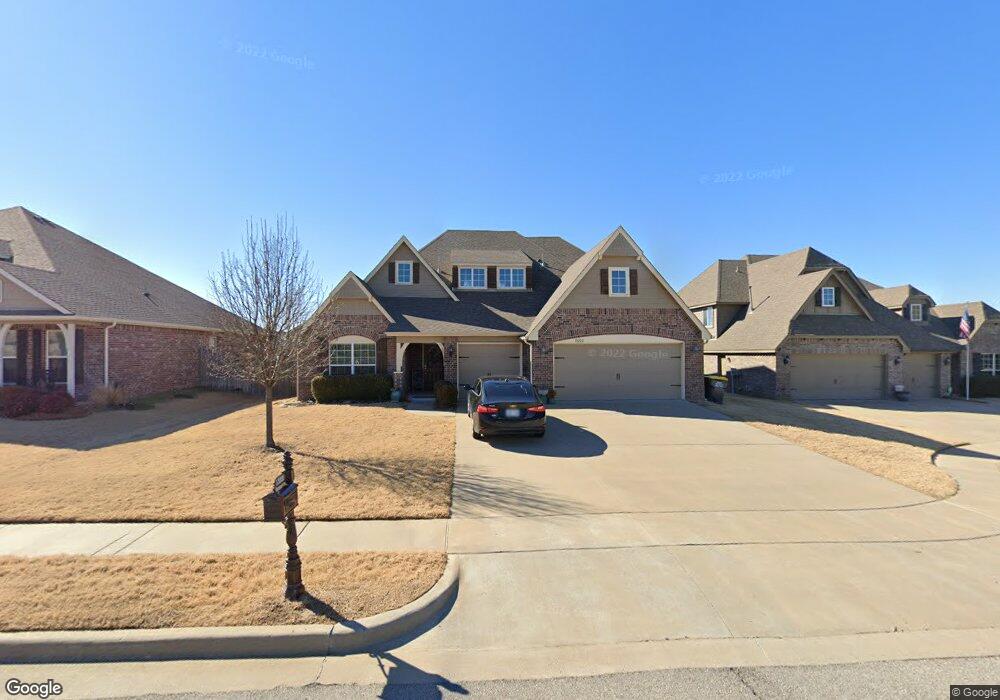
This home is located at 13222 S 21st St Unit R45050, Bixby, OK 74008 and is currently estimated at $397,764, approximately $127 per square foot. 13222 S 21st St Unit R45050 is a home located in Tulsa County with nearby schools including Central Elementary School and Bixby Central Intermediate School.
Ownership History
Date
Name
Owned For
Owner Type
Purchase Details
Closed on
Feb 6, 2025
Sold by
Aino Tulsa Llc
Bought by
Hall Jason and Hale Annie
Current Estimated Value
Home Financials for this Owner
Home Financials are based on the most recent Mortgage that was taken out on this home.
Original Mortgage
$332,500
Interest Rate
7.04%
Mortgage Type
FHA
Purchase Details
Closed on
Jun 18, 2015
Sold by
Cartus Financial Corp
Bought by
Aino Tulsa Llc
Purchase Details
Closed on
Nov 8, 2014
Sold by
Hayes Aaron K and Hayes Tammie C
Bought by
Cartus Financial Corp
Create a Home Valuation Report for This Property
The Home Valuation Report is an in-depth analysis detailing your home's value as well as a comparison with similar homes in the area
Home Values in the Area
Average Home Value in this Area
Purchase History
| Date | Buyer | Sale Price | Title Company |
|---|---|---|---|
| Hall Jason | $350,000 | American Eagle | |
| Aino Tulsa Llc | $277,000 | None Available | |
| Cartus Financial Corp | $277,000 | Executives Title & Escrow Co |
Source: Public Records
Mortgage History
| Date | Status | Borrower | Loan Amount |
|---|---|---|---|
| Previous Owner | Hall Jason | $332,500 |
Source: Public Records
Tax History Compared to Growth
Tax History
| Year | Tax Paid | Tax Assessment Tax Assessment Total Assessment is a certain percentage of the fair market value that is determined by local assessors to be the total taxable value of land and additions on the property. | Land | Improvement |
|---|---|---|---|---|
| 2025 | $4,779 | $38,888 | $3,220 | $35,668 |
| 2024 | $4,499 | $37,037 | $3,269 | $33,768 |
| 2023 | $4,499 | $35,273 | $3,346 | $31,927 |
| 2022 | $4,365 | $33,594 | $4,015 | $29,579 |
| 2021 | $4,159 | $31,993 | $3,823 | $28,170 |
| 2020 | $3,896 | $30,470 | $3,850 | $26,620 |
| 2019 | $3,931 | $30,470 | $3,850 | $26,620 |
| 2018 | $3,946 | $30,470 | $3,850 | $26,620 |
| 2017 | $3,943 | $30,470 | $3,850 | $26,620 |
| 2016 | $3,997 | $30,470 | $3,850 | $26,620 |
| 2015 | $3,869 | $30,745 | $3,850 | $26,895 |
| 2014 | $490 | $3,850 | $3,850 | $0 |
Source: Public Records
Map
Nearby Homes
- 2052 E 133rd Ct
- 2325 E 134th St S
- 13401 S 20th Ct
- 12929 S 21st Place E
- 12934 S 21st Place E
- 12933 S 21st Place E
- 13408 S 20th Ct
- 13409 S 20th St
- 2707 E 135th St S
- 2719 E 135th St S
- 2611 E 135th Dr
- 2335 E 135th St S
- 2048 E 130th Ln S
- 1950-4 Plan at Wynstone
- 1950-4 3-Car Plan at Frazier Meadows
- 1950-4 3-Car Plan at Whiskey Ridge
- 2410 Plan at Wynstone
- 12937 S 21st Place E
- 1950-4 3-Car Plan at Wynstone
- 2500 Plan at Wynstone
- 13218 S 21st St
- 12887 S 21st St
- 2032 E 132nd Place S
- 13214 S 21st St
- 2031 E 132nd Place S
- 2102 E 132nd Place S
- 2028 E 132nd Place S
- 2103 E 132nd Place S
- 2103 E 133rd St S
- 2031 E 133rd St S
- 2027 E 132nd Place S
- 2106 E 132nd Place S
- 2024 E 132nd Place S
- 2107 E 133rd St S
- 2023 E 132nd Place S
- 2110 E 132nd St S
- 2030 E 132nd St S
- 2034 E 133rd St S
- 2020 E 132nd Place S
- 2111 E 133rd St S