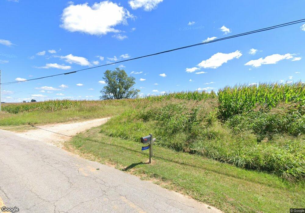
13223 N Highway 261 Webster, KY 40176
Estimated Value: $243,428 - $397,000
3
Beds
2
Baths
2,483
Sq Ft
$120/Sq Ft
Est. Value
About This Home
This home is located at 13223 N Highway 261, Webster, KY 40176 and is currently estimated at $299,107, approximately $120 per square foot. 13223 N Highway 261 is a home with nearby schools including Irvington Elementary School, Breckinridge County Middle School, and Breckinridge County High School.
Ownership History
Date
Name
Owned For
Owner Type
Purchase Details
Closed on
Jan 10, 2020
Sold by
Morris Nancy and Morris Richard
Bought by
Mitcham Joshua D and Mitcham Stella M
Current Estimated Value
Home Financials for this Owner
Home Financials are based on the most recent Mortgage that was taken out on this home.
Original Mortgage
$198,151
Outstanding Balance
$167,863
Interest Rate
3.73%
Mortgage Type
Commercial
Estimated Equity
$131,244
Purchase Details
Closed on
Mar 26, 2013
Sold by
Mitcham Carl Dwayne and Mitcham Linda A
Bought by
Mitcham Joshua D and Mitcham Stella M
Home Financials for this Owner
Home Financials are based on the most recent Mortgage that was taken out on this home.
Original Mortgage
$126,548
Interest Rate
3.55%
Mortgage Type
Unknown
Create a Home Valuation Report for This Property
The Home Valuation Report is an in-depth analysis detailing your home's value as well as a comparison with similar homes in the area
Home Values in the Area
Average Home Value in this Area
Purchase History
| Date | Buyer | Sale Price | Title Company |
|---|---|---|---|
| Mitcham Joshua D | $150,000 | Foreman Watson Land Ttl Llc | |
| Mitcham Joshua D | -- | Foreman Watson Land Ttl Llc | |
| Mitcham Joshua D | $78,000 | None Available |
Source: Public Records
Mortgage History
| Date | Status | Borrower | Loan Amount |
|---|---|---|---|
| Open | Mitcham Joshua D | $198,151 | |
| Previous Owner | Mitcham Joshua D | $126,548 |
Source: Public Records
Tax History Compared to Growth
Tax History
| Year | Tax Paid | Tax Assessment Tax Assessment Total Assessment is a certain percentage of the fair market value that is determined by local assessors to be the total taxable value of land and additions on the property. | Land | Improvement |
|---|---|---|---|---|
| 2024 | $1,260 | $136,000 | $8,000 | $128,000 |
| 2023 | $1,272 | $136,000 | $8,000 | $128,000 |
| 2022 | $1,025 | $108,000 | $8,000 | $100,000 |
| 2021 | $1,071 | $108,000 | $8,000 | $100,000 |
| 2020 | $1,080 | $108,000 | $8,000 | $100,000 |
| 2019 | $1,077 | $108,000 | $8,000 | $100,000 |
| 2018 | $903 | $91,000 | $0 | $0 |
| 2017 | $893 | $91,000 | $0 | $0 |
| 2016 | $894 | $83,000 | $8,000 | $75,000 |
| 2015 | $903 | $83,000 | $8,000 | $75,000 |
Source: Public Records
Map
Nearby Homes
- 2071 Hardesty Raymond Rd
- 84 Mount Merino Cemetery Ln
- 1274 Kentucky 79
- 1274 N Highway 79
- 904 Michelle Way
- 230 Cs-3021
- 102 Center St
- 100 Center St
- 106 Center St
- 104 Center St
- 213 N Woodlawn St
- 14060 E Highway 60
- 213 Woodlawn Ave
- 14253 U S 60
- 206 S 5th St
- 2780 Hardesty Raymond Rd
- 607 Edgemont Rd
- 1250 Arnold School Rd
- 195 New State Rd
- 627 New State Rd
- 13851 N Highway 261
- 0 Hornback Rd Unit Lot 8A HK10044878
- 4196 Highway 477
- 4108 Highway 477
- 2490 J B Ball Ln
- 4358 Highway 477
- 499 Hornback Farms Ln
- 499 Hornback Farms Ln
- 0 Hornback Farm Ln Unit 10044033
- 0 Hornback Farm Ln Unit 10044024
- 0 Hornback Farm Ln Unit 10054953
- 14013 N Highway 261
- 1410 N Highway 333
- 0 Kentucky 261 Unit 1179229
- 0 Kentucky 261 Unit Lots 2,3,4,6,7,8,9 S
- 7 George Hornback Rd
- 11531 N Highway 261
- 3001 Highway 477
- 3269 Highway 477
- 3036 Highway 477
