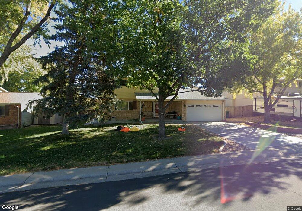
13226 Spica Dr Lone Tree, CO 80124
Estimated Value: $569,000 - $589,877
3
Beds
3
Baths
1,982
Sq Ft
$292/Sq Ft
Est. Value
About This Home
This home is located at 13226 Spica Dr, Lone Tree, CO 80124 and is currently estimated at $579,439, approximately $292 per square foot. 13226 Spica Dr is a home located in Douglas County with nearby schools including Acres Green Elementary School, Cresthill Middle School, and Highlands Ranch High School.
Ownership History
Date
Name
Owned For
Owner Type
Purchase Details
Closed on
Mar 27, 2023
Sold by
Wernsman Edward J
Bought by
Wernsman Edward J and Wernsman Brigette Ann
Current Estimated Value
Home Financials for this Owner
Home Financials are based on the most recent Mortgage that was taken out on this home.
Original Mortgage
$250,000
Outstanding Balance
$242,688
Interest Rate
6.32%
Mortgage Type
New Conventional
Estimated Equity
$336,751
Purchase Details
Closed on
Dec 6, 1993
Sold by
Cole Larry S and Cole Jolene
Bought by
Wernsman Edward J and Wernsman Brigette Ann
Home Financials for this Owner
Home Financials are based on the most recent Mortgage that was taken out on this home.
Original Mortgage
$104,000
Interest Rate
6.86%
Purchase Details
Closed on
May 1, 1979
Sold by
Unavailable
Bought by
Unavailable
Create a Home Valuation Report for This Property
The Home Valuation Report is an in-depth analysis detailing your home's value as well as a comparison with similar homes in the area
Home Values in the Area
Average Home Value in this Area
Purchase History
| Date | Buyer | Sale Price | Title Company |
|---|---|---|---|
| Wernsman Edward J | -- | -- | |
| Wernsman Edward J | $130,000 | First American Heritage Titl | |
| Unavailable | $77,900 | -- |
Source: Public Records
Mortgage History
| Date | Status | Borrower | Loan Amount |
|---|---|---|---|
| Open | Wernsman Edward J | $250,000 | |
| Previous Owner | Wernsman Edward J | $104,000 |
Source: Public Records
Tax History Compared to Growth
Tax History
| Year | Tax Paid | Tax Assessment Tax Assessment Total Assessment is a certain percentage of the fair market value that is determined by local assessors to be the total taxable value of land and additions on the property. | Land | Improvement |
|---|---|---|---|---|
| 2024 | $3,494 | $41,760 | $8,340 | $33,420 |
| 2023 | $3,530 | $41,760 | $8,340 | $33,420 |
| 2022 | $2,643 | $29,680 | $7,080 | $22,600 |
| 2021 | $2,748 | $29,680 | $7,080 | $22,600 |
| 2020 | $2,559 | $28,310 | $6,720 | $21,590 |
| 2019 | $2,568 | $28,310 | $6,720 | $21,590 |
| 2018 | $2,039 | $24,080 | $5,830 | $18,250 |
| 2017 | $2,072 | $24,080 | $5,830 | $18,250 |
| 2016 | $1,867 | $21,250 | $4,310 | $16,940 |
| 2015 | $1,910 | $21,250 | $4,310 | $16,940 |
| 2014 | $1,719 | $17,910 | $3,980 | $13,930 |
Source: Public Records
Map
Nearby Homes
- 979 Mercury Cir
- 13134 Deneb Dr
- 789 Hamal Dr
- 202 Helena Cir
- 7971 Arrowhead Ct
- 426 Jupiter Dr
- 8049 Sweet Water Rd
- 8159 Lodgepole Trail
- 250 Jupiter Dr
- 7804 Silverweed Way
- 8260 Lodgepole Trail
- 336 Aquarius Ct
- 13483 Achilles Dr
- 7057 Chestnut Hill St
- 13678 Omega Cir
- 181 Dianna Dr
- 9275 Erminedale Dr
- 13542 Achilles Dr
- 9308 Miles Dr Unit 5
- 130 Dianna Dr
- 13236 Spica Dr
- 13194 Spica Dr
- 13235 Acres Green Dr
- 13225 Acres Green Dr
- 13246 Spica Dr
- 13184 Spica Dr
- 13245 Acres Green Dr
- 13225 Spica Dr
- 13193 Spica Dr
- 13183 Acres Green Dr
- 13235 Spica Dr
- 13255 Acres Green Dr
- 13174 Spica Dr
- 13256 Spica Dr
- 13173 Acres Green Dr
- 13194 Rigel Dr
- 13173 Spica Dr
- 13245 Spica Dr
- 13184 Rigel Dr
- 13265 Acres Green Dr