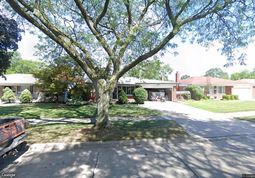
13227 Geoffry Dr Warren, MI 48088
Northeast Warren NeighborhoodEstimated Value: $276,000 - $289,000
3
Beds
2
Baths
1,609
Sq Ft
$174/Sq Ft
Est. Value
About This Home
This home is located at 13227 Geoffry Dr, Warren, MI 48088 and is currently estimated at $280,139, approximately $174 per square foot. 13227 Geoffry Dr is a home located in Macomb County with nearby schools including Warren Woods Tower High School, Frontier International Academy Elementary, and Warren Woods Christian School.
Ownership History
Date
Name
Owned For
Owner Type
Purchase Details
Closed on
Sep 1, 2009
Sold by
Messina Caterina
Bought by
Deutschel Lawrence A
Current Estimated Value
Home Financials for this Owner
Home Financials are based on the most recent Mortgage that was taken out on this home.
Original Mortgage
$40,000
Outstanding Balance
$26,332
Interest Rate
5.32%
Mortgage Type
New Conventional
Estimated Equity
$253,807
Create a Home Valuation Report for This Property
The Home Valuation Report is an in-depth analysis detailing your home's value as well as a comparison with similar homes in the area
Home Values in the Area
Average Home Value in this Area
Purchase History
| Date | Buyer | Sale Price | Title Company |
|---|---|---|---|
| Deutschel Lawrence A | $86,900 | Title Connect Llc |
Source: Public Records
Mortgage History
| Date | Status | Borrower | Loan Amount |
|---|---|---|---|
| Open | Deutschel Lawrence A | $40,000 |
Source: Public Records
Tax History Compared to Growth
Tax History
| Year | Tax Paid | Tax Assessment Tax Assessment Total Assessment is a certain percentage of the fair market value that is determined by local assessors to be the total taxable value of land and additions on the property. | Land | Improvement |
|---|---|---|---|---|
| 2025 | $3,721 | $140,020 | $0 | $0 |
| 2024 | $3,615 | $126,780 | $0 | $0 |
| 2023 | $3,416 | $117,660 | $0 | $0 |
| 2022 | $3,349 | $103,220 | $0 | $0 |
| 2021 | $3,287 | $94,550 | $0 | $0 |
| 2020 | $3,150 | $90,310 | $0 | $0 |
| 2019 | $3,009 | $85,090 | $0 | $0 |
| 2018 | $3,040 | $75,050 | $0 | $0 |
| 2017 | $2,875 | $67,110 | $10,540 | $56,570 |
| 2016 | $2,852 | $67,110 | $0 | $0 |
| 2015 | -- | $57,850 | $0 | $0 |
| 2013 | $2,783 | $53,920 | $0 | $0 |
Source: Public Records
Map
Nearby Homes
- 13143 Geoffry Dr
- 13053 Geoffry Dr
- 29143 Dover Ave
- 29355 Eiffel Ave
- 29365 Dover Ave
- 13019 Stanley Dr
- 12980 E 12 Mile Rd
- 29379 Newport Dr
- 29601 Moulin Ave
- 29649 Dover Ave
- 28616 Newport Dr
- 29105 Palomino Dr
- 54765 Palomino Ave
- 28621 Pinto Dr
- 29820 Palomino Dr
- 28741 Roan Dr
- 30040 Schoenherr Rd
- 30045 Iroquois Dr
- 29366 Wagner Dr
- 12531 Common Rd
- 13241 Geoffry Dr
- 13215 Geoffry Dr
- 29232 Ridgefield Ave
- 13253 Geoffry Dr
- 29244 Ridgefield Ave
- 29241 Eiffel Ave
- 13228 Geoffry Dr
- 13216 Geoffry Dr
- 13240 Geoffry Dr
- 13204 Geoffry Dr
- 29256 Ridgefield Ave
- 13252 Geoffry Dr
- 29231 Ridgefield Ave
- 29253 Eiffel Ave
- 13154 Geoffry Dr
- 29243 Ridgefield Ave
- 13142 Geoffry Dr
- 29268 Ridgefield Ave
- 29265 Eiffel Ave
- 13276 Geoffry Dr