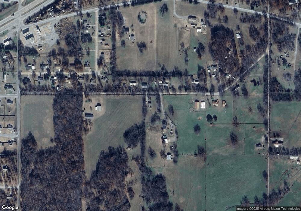
13229 W 838 Rd Tahlequah, OK 74464
Estimated Value: $136,941 - $250,000
3
Beds
1
Bath
1,424
Sq Ft
$147/Sq Ft
Est. Value
About This Home
This home is located at 13229 W 838 Rd, Tahlequah, OK 74464 and is currently estimated at $208,980, approximately $146 per square foot. 13229 W 838 Rd is a home.
Ownership History
Date
Name
Owned For
Owner Type
Purchase Details
Closed on
May 19, 2008
Sold by
Guinn George L and Guinn Vivian E
Bought by
Guinn Randall J
Current Estimated Value
Home Financials for this Owner
Home Financials are based on the most recent Mortgage that was taken out on this home.
Original Mortgage
$29,500
Interest Rate
5.89%
Mortgage Type
New Conventional
Purchase Details
Closed on
Oct 17, 2003
Sold by
Bill and Emma Gawf
Bought by
Guinn George L and Guinn Vivian E
Purchase Details
Closed on
Oct 10, 2003
Sold by
Jill Jackie L and Jill Gawf
Bought by
Bill and Emma Gawf
Create a Home Valuation Report for This Property
The Home Valuation Report is an in-depth analysis detailing your home's value as well as a comparison with similar homes in the area
Home Values in the Area
Average Home Value in this Area
Purchase History
| Date | Buyer | Sale Price | Title Company |
|---|---|---|---|
| Guinn Randall J | -- | None Available | |
| Guinn George L | $33,000 | -- | |
| Bill | -- | -- |
Source: Public Records
Mortgage History
| Date | Status | Borrower | Loan Amount |
|---|---|---|---|
| Closed | Guinn Randall J | $29,500 |
Source: Public Records
Tax History Compared to Growth
Tax History
| Year | Tax Paid | Tax Assessment Tax Assessment Total Assessment is a certain percentage of the fair market value that is determined by local assessors to be the total taxable value of land and additions on the property. | Land | Improvement |
|---|---|---|---|---|
| 2025 | $398 | $5,262 | $907 | $4,355 |
| 2024 | $398 | $5,011 | $632 | $4,379 |
| 2023 | $398 | $5,011 | $632 | $4,379 |
| 2022 | $406 | $5,011 | $632 | $4,379 |
| 2021 | $408 | $5,011 | $632 | $4,379 |
| 2020 | $431 | $5,182 | $632 | $4,550 |
| 2019 | $429 | $5,182 | $632 | $4,550 |
| 2018 | $434 | $5,182 | $632 | $4,550 |
| 2017 | $439 | $5,182 | $632 | $4,550 |
| 2016 | $446 | $5,277 | $1,403 | $3,874 |
| 2015 | $399 | $5,025 | $594 | $4,431 |
| 2014 | $399 | $4,786 | $580 | $4,206 |
Source: Public Records
Map
Nearby Homes
- 0 Hwy 62 Hwy Unit 2532149
- 0 Hwy 62 Hwy Unit 2532139
- 0 Hwy 62 Hwy Unit 2532141
- 0 Hwy 62 Hwy Unit 2532145
- 13670 W 834 Rd
- 12910 W Southern Oaks St
- 12890 W Southern Oaks St
- 12219 U S 62
- 14650 W 835 Rd
- 11396 W Joyce Ln
- 24481 S Manard Rd
- 27254 S 490 Rd
- 0 S Qualls Rd Unit 2543872
- 2 S 490 Rd
- 0 S 490 Rd
- 1956 E Moffett Ln
- 16920 W 828 Rd
- 16981 W 828 Rd
- 22781 S 490 Rd
- 175 Reid Rd
- 13254 W 838 Rd
- 25464 S Woodall Dr
- 13308 W 838 Rd
- 13253 W 838 Rd
- 25462 S Woodall Dr
- 25466 S Woodall Dr
- 13119 W 838 Rd
- 13337 W 838 Rd
- 25491 S Woodall Dr
- 13354 W 838 Rd
- 25470 S Woodall Dr
- 25446 S Woodall Dr
- 25467 S Woodall Dr
- 13374 W 838 Rd
- 25476 S Woodall Dr
- 13421 W 838 Rd
- 25436 S Woodall Dr
- 25475 S Woodall Dr
- 25441 S Woodall Dr
- 13452 W 838 Rd
