Estimated Value: $133,500
2
Beds
1
Bath
5,600
Sq Ft
$24/Sq Ft
Est. Value
About This Home
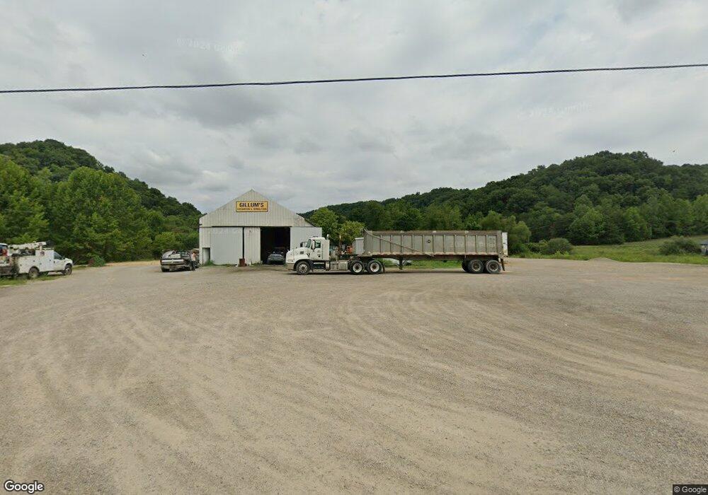
This home is located at 1323 Brohard Rd, Ray, OH 45672 and is currently priced at $133,500, approximately $23 per square foot. 1323 Brohard Rd is a home located in Jackson County with nearby schools including Jackson High School.
Ownership History
Date
Name
Owned For
Owner Type
Purchase Details
Closed on
Apr 6, 2022
Sold by
Gillum Robert
Bought by
Elko Aggregate Llc
Current Estimated Value
Home Financials for this Owner
Home Financials are based on the most recent Mortgage that was taken out on this home.
Interest Rate
4.67%
Purchase Details
Closed on
Jan 4, 2019
Sold by
Coalton Storage & Rentals Llc
Bought by
Gillum Robert
Purchase Details
Closed on
Nov 16, 2018
Sold by
Baxter Trucking Co Llc
Bought by
Coalton Storge & Rentals Llc
Purchase Details
Closed on
Jan 12, 2017
Sold by
Oakes Linda Kay
Bought by
Baxter Trucking Co Llc
Purchase Details
Closed on
Feb 22, 2005
Sold by
Oaks Linda K
Bought by
Pugh Robert W
Create a Home Valuation Report for This Property
The Home Valuation Report is an in-depth analysis detailing your home's value as well as a comparison with similar homes in the area
Home Values in the Area
Average Home Value in this Area
Purchase History
| Date | Buyer | Sale Price | Title Company |
|---|---|---|---|
| Elko Aggregate Llc | $150,000 | -- | |
| Gillum Robert | $90,000 | Warranty Title Agency Inc | |
| Coalton Storge & Rentals Llc | -- | None Available | |
| Baxter Trucking Co Llc | $41,000 | None Available | |
| Pugh Robert W | $78,885 | None Available |
Source: Public Records
Mortgage History
| Date | Status | Borrower | Loan Amount |
|---|---|---|---|
| Closed | Elko Aggregate Llc | -- |
Source: Public Records
Tax History Compared to Growth
Tax History
| Year | Tax Paid | Tax Assessment Tax Assessment Total Assessment is a certain percentage of the fair market value that is determined by local assessors to be the total taxable value of land and additions on the property. | Land | Improvement |
|---|---|---|---|---|
| 2024 | $1,007 | $24,340 | $11,630 | $12,710 |
| 2023 | $2,145 | $24,340 | $11,630 | $12,710 |
| 2022 | $1,062 | $22,360 | $9,960 | $12,400 |
| 2021 | $954 | $25,020 | $8,110 | $16,910 |
| 2020 | $960 | $25,020 | $8,110 | $16,910 |
| 2019 | $879 | $22,540 | $7,310 | $15,230 |
| 2018 | $846 | $22,540 | $7,310 | $15,230 |
| 2017 | $809 | $22,540 | $7,310 | $15,230 |
| 2016 | $898 | $15,900 | $6,630 | $9,270 |
| 2015 | $580 | $15,900 | $6,630 | $9,270 |
| 2013 | $600 | $16,520 | $5,370 | $11,150 |
| 2012 | $2,547 | $16,520 | $5,370 | $11,150 |
Source: Public Records
Map
Nearby Homes
- 0 U S 35
- 55 Cain Rd
- 0 Erwin Hollow Rd
- 1587 St Rt 35
- 0 Meacham Rd
- 485 Springer Rd
- 1011 Lee Hollow Rd
- 0 Raysville Rd
- 587 John W Barbee Rd
- 1580 McCune Cemetery Rd
- 1882 Oakland Rd
- 0 McCune Cemetery Rd
- 0 Oakland Rd Unit 24343871
- 0 Limerick Rd
- 953 Limerick Rd
- 1781 Big Rock Rd
- 2248 McCune Cemetery Rd
- 3732 Borland Rd
- 523 Oakland Rd
- 2441 Valley Chapel Rd
- 1308 Brohard Rd
- 1063 Brohard Rd
- 3851 U S 35
- 3851 State Route 35
- 3851 Saint Rt 35
- 1825 Savageville Rd
- 1825 Savageville Rd
- 1667 Savageville Rd
- 0 Brohard Rd
- 1628 Savageville Rd
- 1820 Savageville Rd
- 756 Brohard Rd
- Acreage Brohard Rd
- 1171 Brohard Rd
- 649 Brohard Rd
- 1536 Savageville Rd
- 000 Savageville Rd
- 626 Brohard Rd
- 1394 Savageville Rd
- 1366 Savageville Rd