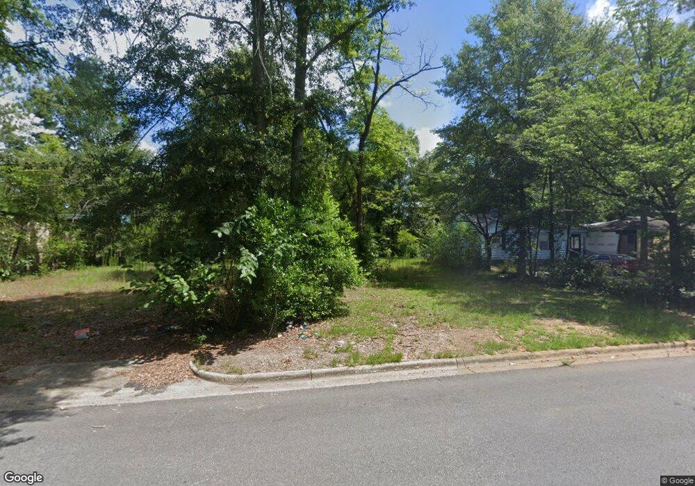
1323 Mulberry Ave Albany, GA 31705
Estimated Value: $35,850 - $61,000
2
Beds
1
Bath
672
Sq Ft
$77/Sq Ft
Est. Value
About This Home
This home is located at 1323 Mulberry Ave, Albany, GA 31705 and is currently estimated at $51,963, approximately $77 per square foot. 1323 Mulberry Ave is a home located in Dougherty County with nearby schools including Robert H. Harvey Elementary School, Albany Middle School, and Radium Springs Middle School.
Ownership History
Date
Name
Owned For
Owner Type
Purchase Details
Closed on
Feb 5, 2019
Sold by
Dono Jks Inc
Bought by
Dison Richard
Current Estimated Value
Purchase Details
Closed on
Nov 7, 2014
Sold by
Perisseuo Equity Inc
Bought by
Dono Jks Inc
Purchase Details
Closed on
Feb 19, 2014
Sold by
Estate Of Phillip E Carter
Bought by
Perisseuo Equity Inc
Purchase Details
Closed on
Jan 31, 2014
Sold by
Tdhc Llc
Bought by
Estate Of Phillip E Carter & Helen Hill
Purchase Details
Closed on
Mar 30, 2012
Sold by
Carter Phillip E
Bought by
Tdhc Llc
Purchase Details
Closed on
Feb 25, 1999
Sold by
Mcalister James
Bought by
Carter Philip E
Purchase Details
Closed on
Jan 3, 1995
Sold by
Leach Robert L and Heath Allegood R
Bought by
Mcalister James
Purchase Details
Closed on
Nov 23, 1993
Sold by
Moses Theodore M
Bought by
Allegood Allegood and Allegood Leach
Purchase Details
Closed on
Jan 1, 1983
Bought by
Moses Theodore
Create a Home Valuation Report for This Property
The Home Valuation Report is an in-depth analysis detailing your home's value as well as a comparison with similar homes in the area
Home Values in the Area
Average Home Value in this Area
Purchase History
| Date | Buyer | Sale Price | Title Company |
|---|---|---|---|
| Dison Richard | $2,500 | -- | |
| Dono Jks Inc | -- | -- | |
| Perisseuo Equity Inc | $251,800 | -- | |
| Estate Of Phillip E Carter & Helen Hill | -- | -- | |
| Tdhc Llc | $900,000 | -- | |
| Carter Philip E | $5,000 | -- | |
| Mcalister James | $75,000 | -- | |
| Allegood Allegood | $5,000 | -- | |
| Moses Theodore | -- | -- |
Source: Public Records
Tax History Compared to Growth
Tax History
| Year | Tax Paid | Tax Assessment Tax Assessment Total Assessment is a certain percentage of the fair market value that is determined by local assessors to be the total taxable value of land and additions on the property. | Land | Improvement |
|---|---|---|---|---|
| 2024 | $48 | $1,000 | $520 | $480 |
| 2023 | $47 | $1,000 | $520 | $480 |
| 2022 | $47 | $1,000 | $520 | $480 |
| 2021 | $43 | $1,000 | $520 | $480 |
| 2020 | $43 | $1,000 | $520 | $480 |
| 2019 | $44 | $1,000 | $520 | $480 |
| 2018 | $308 | $7,040 | $1,360 | $5,680 |
| 2017 | $287 | $7,040 | $1,360 | $5,680 |
| 2016 | $287 | $7,040 | $1,360 | $5,680 |
| 2015 | $66 | $7,040 | $1,360 | $5,680 |
| 2014 | $285 | $7,040 | $1,360 | $5,680 |
Source: Public Records
Map
Nearby Homes
- 1318 E Roosevelt Ave
- 1410 E Roosevelt Ave
- 1418 E Roosevelt Ave
- 1323 E Society Ave
- 1219 Bonnyview Ave
- 1521 E Broad Ave
- 205 Collins St
- 210 S Carroll St
- 211 Collins St
- 1017 E Roosevelt Ave
- 1007 Swift St
- 1107 E 4th Ave
- 1408 E Mercer Ave
- 1003 E Residence Ave
- 1400 E Lincoln Ave
- 1411 E Gordon Ave
- 807 Hobson St
- 608 Cason St
- 1401 E Waddell Ave
- 1001 Hobson St
- 1325 Mulberry Ave
- 1321 Mulberry Ave
- 1327 Mulberry Ave
- 1329 Mulberry Ave
- 1331 Mulberry Ave
- 1332 Clark Ave
- 1329 Clark Ave
- 1320 Mulberry Ave
- 1322 Mulberry Ave
- 1316 Mulberry Ave
- 1307 Mulberry Ave
- 1326 Mulberry Ave
- 1321 Clark Ave
- 213 N Carroll St
- 1319 Clark Ave
- 1312 Mulberry Ave
- 1401 Clark Ave
- 1310 Mulberry Ave
- 1401 Mulberry Ave
- 306 N Carroll St