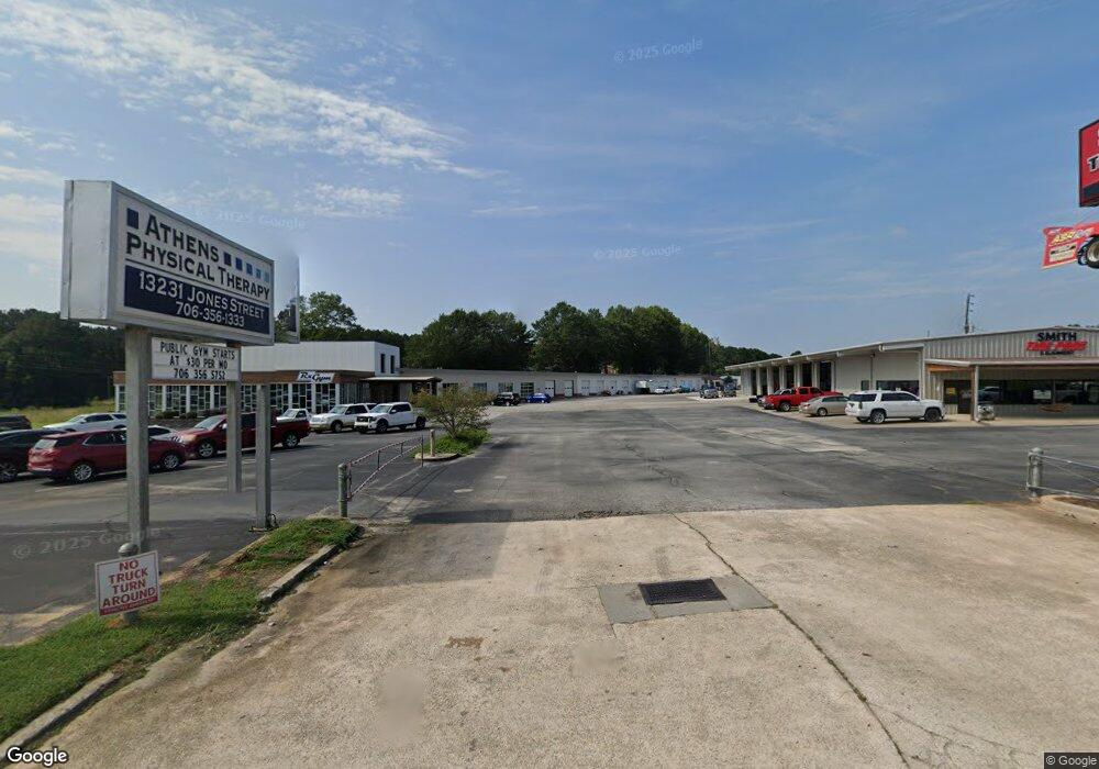
13231 Jones St Lavonia, GA 30553
Estimated Value: $6,852,015
3
Beds
1
Bath
5,208
Sq Ft
$1,316/Sq Ft
Est. Value
About This Home
This home is located at 13231 Jones St, Lavonia, GA 30553 and is currently estimated at $6,852,015, approximately $1,315 per square foot. 13231 Jones St is a home located in Franklin County with nearby schools including Franklin County High School.
Ownership History
Date
Name
Owned For
Owner Type
Purchase Details
Closed on
May 30, 2019
Sold by
Lavonia Retail Llc
Bought by
Andrade Manuel S and Manuel S Andrade Trust 1988
Current Estimated Value
Purchase Details
Closed on
Mar 5, 2018
Sold by
Owens Martha M
Bought by
Lavonia Retail Llc
Purchase Details
Closed on
Apr 23, 2007
Sold by
Owens Phil D
Bought by
Nine Points Real Estate Llc
Purchase Details
Closed on
Apr 6, 2007
Sold by
Owens Ralph
Bought by
Owens Martha M
Purchase Details
Closed on
Apr 28, 1995
Bought by
Owens Phill
Create a Home Valuation Report for This Property
The Home Valuation Report is an in-depth analysis detailing your home's value as well as a comparison with similar homes in the area
Home Values in the Area
Average Home Value in this Area
Purchase History
| Date | Buyer | Sale Price | Title Company |
|---|---|---|---|
| Andrade Manuel S | $3,900,000 | -- | |
| Lavonia Retail Llc | $650,000 | -- | |
| Nine Points Real Estate Llc | $275,000 | -- | |
| Owens Martha M | -- | -- | |
| Owens Phill | $102,000 | -- |
Source: Public Records
Tax History Compared to Growth
Tax History
| Year | Tax Paid | Tax Assessment Tax Assessment Total Assessment is a certain percentage of the fair market value that is determined by local assessors to be the total taxable value of land and additions on the property. | Land | Improvement |
|---|---|---|---|---|
| 2024 | $20,996 | $633,678 | $326,700 | $306,978 |
| 2023 | $22,747 | $633,678 | $326,700 | $306,978 |
| 2022 | $19,942 | $555,544 | $239,580 | $315,964 |
| 2021 | $20,797 | $555,562 | $239,580 | $315,982 |
| 2020 | $21,106 | $555,562 | $239,580 | $315,982 |
| 2019 | $20,587 | $555,562 | $239,580 | $315,982 |
| 2018 | $9,701 | $260,703 | $239,580 | $21,123 |
| 2017 | $7,282 | $260,703 | $239,580 | $21,123 |
Source: Public Records
Map
Nearby Homes
- 5474 Vickery St
- 5494 Vickery St
- 90 Old City Park Rd
- 0 Highway 59 Unit 10615036
- 353 Bow Dr
- 5710 Vickery St
- 45 Wright St Unit 64
- 57 Wright St Unit 68
- 55 Wright St Unit 67
- 51 Wright St Unit 66
- 49 Wright St Unit 65
- 103 Ross Place
- 89 Huntington Dr
- 59 Wright St Unit 69
- 138 Victoria Ln
- 86 Luckie St
- 266 Randall St
- 0 Hwy 59 and Ross Place Unit 10499138
- 104 Powers Rd
- 0 Deer Run Trail Unit 10622166
- 13231 Jones St Unit C
- 13231 Jones St Unit B
- 0 Andrews Dr Unit 5129930
- 0 Andrews Dr Unit 3263741
- 0 Andrews Dr Unit 7493414
- 0 Andrews Dr Unit 7429329
- 0 Silo Ln Unit TRACT 7 3271212
- 0 Silo Ln Unit TRACT 6
- 0 Silo Ln Unit TRACT 6 3271182
- 0 Silo Ln Unit 8809702
- 0 Silo Ln Unit 8730964
- 13325 Jones St
- 190 Andrews Dr
- 0 Cornog Rd Unit TRACT 3010284
- 0 Cornog Rd
- 0 Cornog Rd Unit 20025580
- 0 Cornog Rd Unit 7171851
- 0 Cornog Rd Unit 3214518
- 0 Cornog Rd Unit 8958478
- 0 Cornog Rd Unit 8108899