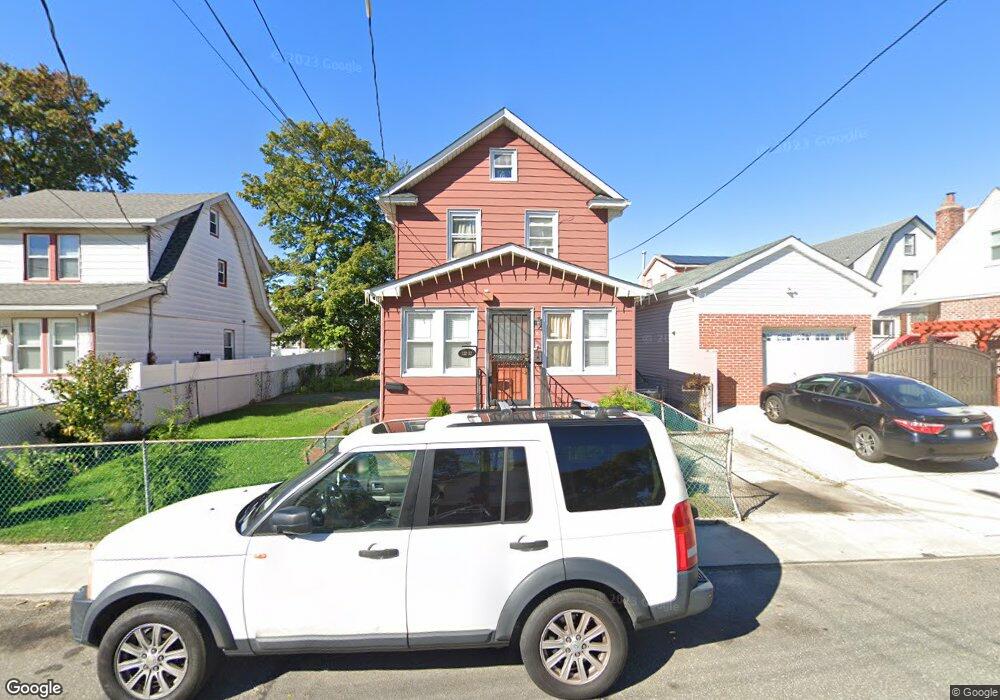
13232 219th St Springfield Gardens, NY 11413
Laurelton NeighborhoodEstimated Value: $654,473 - $734,000
--
Bed
--
Bath
1,362
Sq Ft
$501/Sq Ft
Est. Value
About This Home
This home is located at 13232 219th St, Springfield Gardens, NY 11413 and is currently estimated at $682,868, approximately $501 per square foot. 13232 219th St is a home located in Queens County with nearby schools including P.S. 132 - Ralph Bunche, Is 59 Springfield Gardens, and Success Academy Springfield Gardens.
Ownership History
Date
Name
Owned For
Owner Type
Purchase Details
Closed on
Dec 20, 2016
Sold by
Birmingham Netia
Bought by
Olalekan Abiola and Olalekan Olusola
Current Estimated Value
Home Financials for this Owner
Home Financials are based on the most recent Mortgage that was taken out on this home.
Original Mortgage
$347,367
Outstanding Balance
$284,068
Interest Rate
3.94%
Mortgage Type
Purchase Money Mortgage
Estimated Equity
$398,800
Purchase Details
Closed on
Feb 27, 2001
Sold by
Birmingham Netia and Bullen Sean
Bought by
Birmingham Netia
Create a Home Valuation Report for This Property
The Home Valuation Report is an in-depth analysis detailing your home's value as well as a comparison with similar homes in the area
Home Values in the Area
Average Home Value in this Area
Purchase History
| Date | Buyer | Sale Price | Title Company |
|---|---|---|---|
| Olalekan Abiola | $365,650 | -- | |
| Birmingham Netia | -- | -- |
Source: Public Records
Mortgage History
| Date | Status | Borrower | Loan Amount |
|---|---|---|---|
| Open | Olalekan Abiola | $347,367 |
Source: Public Records
Tax History Compared to Growth
Tax History
| Year | Tax Paid | Tax Assessment Tax Assessment Total Assessment is a certain percentage of the fair market value that is determined by local assessors to be the total taxable value of land and additions on the property. | Land | Improvement |
|---|---|---|---|---|
| 2025 | $5,937 | $31,330 | $8,964 | $22,366 |
| 2024 | $5,937 | $29,557 | $8,774 | $20,783 |
| 2023 | $5,601 | $27,886 | $6,989 | $20,897 |
| 2022 | $5,365 | $40,380 | $11,880 | $28,500 |
| 2021 | $5,655 | $35,520 | $11,880 | $23,640 |
| 2020 | $5,526 | $30,540 | $11,880 | $18,660 |
| 2019 | $5,153 | $29,400 | $11,880 | $17,520 |
| 2018 | $4,737 | $23,238 | $9,916 | $13,322 |
| 2017 | $4,265 | $22,394 | $9,515 | $12,879 |
| 2016 | $4,167 | $22,394 | $9,515 | $12,879 |
| 2015 | $2,328 | $21,757 | $11,342 | $10,415 |
| 2014 | $2,328 | $20,526 | $11,915 | $8,611 |
Source: Public Records
Map
Nearby Homes
- 218-36 133rd Rd
- 21931 133rd Ave
- 133-15 220th St
- 21608 Merrick Blvd
- 134-16 221st St
- 134-15 221st St
- 220-27 134th Rd
- 187-01 Ridgedale St
- 220-24 134th Rd
- 12512 Nepton St
- 21611 135th Ave
- 21924 130th Dr
- 131-35 222nd St
- 13049 217th St
- 22126 134th Rd
- 130-45 220th St
- 130-25 217th St
- 136-3 220th St
- 187-16 Williamson Ave
- 187-04 Williamson Ave
- 13222 219th St
- 13236 219th St
- 219-25 219 St
- 132-22 219th St
- 21810 132nd Rd
- 13240 219th St
- 13233 218th St
- 21808 132nd Rd
- 21814 132nd Rd
- 13241 218th St
- 13231 219th St
- 21804 132nd Rd
- 13231 219th St
- 13235 219th St
- 21817 133rd Ave
- 219-10 132nd Rd
- 21807 133rd Ave
- 21908 132nd Rd
- 13241 219th St
- 21801 133rd Ave