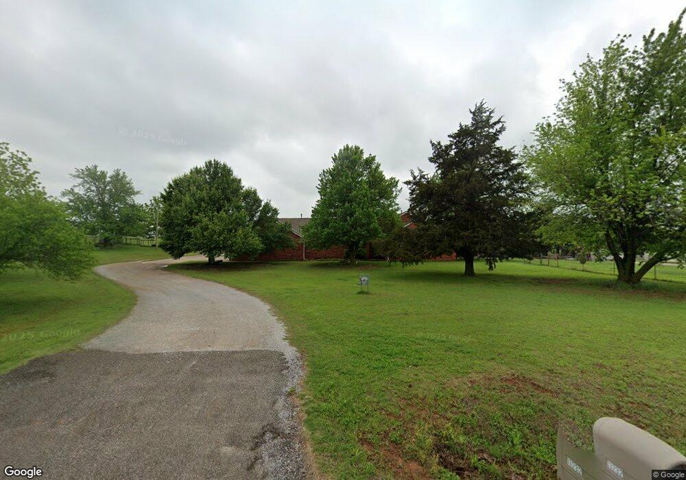
13232 SW 89th St Mustang, OK 73064
South Mustang NeighborhoodEstimated Value: $417,000 - $434,000
4
Beds
2
Baths
2,163
Sq Ft
$196/Sq Ft
Est. Value
About This Home
This home is located at 13232 SW 89th St, Mustang, OK 73064 and is currently estimated at $423,606, approximately $195 per square foot. 13232 SW 89th St is a home located in Canadian County with nearby schools including Mustang Lakehoma Elementary School, Mustang Horizon Intermediate School, and Mustang Middle School.
Ownership History
Date
Name
Owned For
Owner Type
Purchase Details
Closed on
Mar 28, 2016
Sold by
Deutsche Bank
Bought by
Woodard Jeffery and Woodard Karen
Current Estimated Value
Home Financials for this Owner
Home Financials are based on the most recent Mortgage that was taken out on this home.
Original Mortgage
$130,612
Outstanding Balance
$103,865
Interest Rate
3.71%
Estimated Equity
$319,741
Purchase Details
Closed on
Oct 7, 2011
Sold by
Carpenter Ray and Carpenter Evelyn
Bought by
Woodard Jeffrey Scott and Woodard Karen Sue
Purchase Details
Closed on
Jan 5, 1992
Sold by
Conversion
Create a Home Valuation Report for This Property
The Home Valuation Report is an in-depth analysis detailing your home's value as well as a comparison with similar homes in the area
Home Values in the Area
Average Home Value in this Area
Purchase History
| Date | Buyer | Sale Price | Title Company |
|---|---|---|---|
| Woodard Jeffery | -- | -- | |
| Woodard Jeffrey Scott | -- | None Available | |
| -- | -- | -- |
Source: Public Records
Mortgage History
| Date | Status | Borrower | Loan Amount |
|---|---|---|---|
| Open | Woodard Jeffery | $130,612 | |
| Closed | Woodard Jeffery | -- |
Source: Public Records
Tax History Compared to Growth
Tax History
| Year | Tax Paid | Tax Assessment Tax Assessment Total Assessment is a certain percentage of the fair market value that is determined by local assessors to be the total taxable value of land and additions on the property. | Land | Improvement |
|---|---|---|---|---|
| 2024 | $3,080 | $29,043 | $6,606 | $22,437 |
| 2023 | $3,080 | $28,198 | $6,072 | $22,126 |
| 2022 | $3,032 | $27,376 | $6,072 | $21,304 |
| 2021 | $3,079 | $27,890 | $6,072 | $21,818 |
| 2020 | $3,140 | $28,147 | $6,072 | $22,075 |
| 2019 | $3,136 | $28,132 | $6,072 | $22,060 |
| 2018 | $3,097 | $27,312 | $6,072 | $21,240 |
| 2017 | $2,972 | $26,577 | $5,100 | $21,477 |
| 2016 | $2,911 | $26,467 | $5,100 | $21,367 |
| 2015 | -- | $25,362 | $5,100 | $20,262 |
| 2014 | -- | $20,531 | $2,709 | $17,822 |
Source: Public Records
Map
Nearby Homes
- 1509 S Clear Springs Rd
- 000 SW 89th St
- 1907 W Cedar Ridge Dr
- 1809 W Aqua Clear Dr
- 2114 W Cole Dr
- 2224 W Sunset Dr
- 2101 W Beaver Point Dr
- 11617 SW 56th St
- 716 N Cottontail Way
- 520 S Owen Dr
- 1315 S Grace Dr
- 2241 W Mickey Dr
- 10009 SW 39th St
- 10013 SW 39th St
- 525 W Ava Dr
- 1302 S Silver Dr
- 4213 Moonlight Rd
- 4408 Moonlight Rd
- 320 N Jasper Way
- 1957 W Crossbow Way
- 13240 SW 89th St
- 1530 S Southersby Dr
- 1519 S Nelms Dr
- 1522 S Southersby Dr
- 2001 SW 89th St
- 1509 S Nelms Dr
- 2001 W Sw 89th St
- 1516 S Nelms Dr
- 1429 S Southersby Dr
- 1429 S Nelms Dr
- 1430 S Southersby Dr
- 1419 S Nelms Dr
- 1840 W Laura Dr
- 1426 S Nelms Dr
- 1421 S Southersby Dr
- 1422 S Southersby Dr
- 1409 S Nelms Dr
- 1931 W Sw 89th St
- 1830 W Laura Dr
- 1839 W Laura Dr