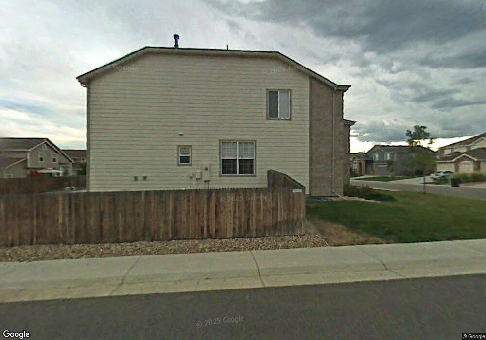
13234 Leyden St Thornton, CO 80602
Riverdale Park NeighborhoodEstimated Value: $687,316 - $726,000
4
Beds
4
Baths
3,204
Sq Ft
$221/Sq Ft
Est. Value
About This Home
This home is located at 13234 Leyden St, Thornton, CO 80602 and is currently estimated at $708,579, approximately $221 per square foot. 13234 Leyden St is a home located in Adams County with nearby schools including West Ridge Elementary School, Shore Acres Elementary School, and Elderberry Elementary.
Ownership History
Date
Name
Owned For
Owner Type
Purchase Details
Closed on
Jan 30, 2003
Sold by
Kdb Homes Inc
Bought by
Adams Justin David
Current Estimated Value
Home Financials for this Owner
Home Financials are based on the most recent Mortgage that was taken out on this home.
Original Mortgage
$252,000
Outstanding Balance
$107,531
Interest Rate
5.9%
Estimated Equity
$601,048
Create a Home Valuation Report for This Property
The Home Valuation Report is an in-depth analysis detailing your home's value as well as a comparison with similar homes in the area
Home Values in the Area
Average Home Value in this Area
Purchase History
| Date | Buyer | Sale Price | Title Company |
|---|---|---|---|
| Adams Justin David | $315,000 | -- |
Source: Public Records
Mortgage History
| Date | Status | Borrower | Loan Amount |
|---|---|---|---|
| Open | Adams Justin David | $252,000 |
Source: Public Records
Tax History Compared to Growth
Tax History
| Year | Tax Paid | Tax Assessment Tax Assessment Total Assessment is a certain percentage of the fair market value that is determined by local assessors to be the total taxable value of land and additions on the property. | Land | Improvement |
|---|---|---|---|---|
| 2024 | $4,447 | $43,190 | $7,190 | $36,000 |
| 2023 | $4,425 | $49,320 | $6,970 | $42,350 |
| 2022 | $3,356 | $34,220 | $7,160 | $27,060 |
| 2021 | $3,233 | $34,220 | $7,160 | $27,060 |
| 2020 | $2,996 | $33,100 | $7,360 | $25,740 |
| 2019 | $2,999 | $33,100 | $7,360 | $25,740 |
| 2018 | $2,825 | $31,160 | $6,840 | $24,320 |
| 2017 | $2,821 | $31,160 | $6,840 | $24,320 |
| 2016 | $2,555 | $28,120 | $4,460 | $23,660 |
| 2015 | $2,549 | $28,120 | $4,460 | $23,660 |
| 2014 | -- | $24,780 | $4,140 | $20,640 |
Source: Public Records
Map
Nearby Homes
- 13234 Krameria St
- 13349 Krameria St
- 13068 Kearney St
- 13305 Monaco Ct
- 13385 Jasmine St
- 13391 Locust Ct
- 12845 Jasmine Way
- 13275 Holly St Unit F
- 5575 E 130th Dr
- 15372 Jersey Ct
- 13271 Holly St Unit B
- 6893 E 132nd Place
- 13243 Holly St Unit F
- 12926 Jasmine Ct
- 6345 E 135th Ave
- 12812 Jasmine St Unit C
- 13028 Grape Ct
- 5628 Hudson Cir
- 6731 E 128th Place
- 6791 E 129th Ave
- 13222 Leyden St
- 13235 Locust St
- 13225 Locust St
- 13212 Leyden St
- 6135 E 132nd Way
- 6165 E 132nd Way
- 13233 Leyden St
- 6115 E 132nd Way
- 13221 Leyden St
- 13215 Locust St
- 6195 E 132nd Way
- 13202 Leyden St
- 6095 E 132nd Way
- 13211 Leyden St
- 13205 Locust St
- 6075 E 132nd Way
- 13190 Leyden St
- 13216 Krameria St
- 6342 E 133rd Ave
- 6312 E 133rd Ave