13237 Coal Bank Rd SW Newcomerstown, OH 43832
Estimated Value: $116,000 - $248,000
1
Bed
1
Bath
2,100
Sq Ft
$77/Sq Ft
Est. Value
About This Home
This home is located at 13237 Coal Bank Rd SW, Newcomerstown, OH 43832 and is currently estimated at $162,212, approximately $77 per square foot. 13237 Coal Bank Rd SW is a home located in Tuscarawas County with nearby schools including Port Washington Elementary School, Tuscarawas Middle School, and Indian Valley High School.
Ownership History
Date
Name
Owned For
Owner Type
Purchase Details
Closed on
Dec 26, 2023
Sold by
Peeper Bart and Peeper Stephanie
Bought by
Baker Kyle A and Shalosky Tiffany J
Current Estimated Value
Home Financials for this Owner
Home Financials are based on the most recent Mortgage that was taken out on this home.
Original Mortgage
$147,474
Outstanding Balance
$145,123
Interest Rate
7.44%
Mortgage Type
New Conventional
Estimated Equity
$17,089
Purchase Details
Closed on
Sep 29, 2016
Sold by
Weaver Norman and Weaver Bertha
Bought by
Peeper Bart and Peeper Stephanie
Purchase Details
Closed on
Aug 1, 2013
Sold by
Ehmer Wayne E
Bought by
Weaver Norman and Weaver Marie
Purchase Details
Closed on
Jan 30, 2004
Sold by
Ehmer Wayne E and Ehmer Alma H
Bought by
Ehmer Wayne E
Create a Home Valuation Report for This Property
The Home Valuation Report is an in-depth analysis detailing your home's value as well as a comparison with similar homes in the area
Home Values in the Area
Average Home Value in this Area
Purchase History
| Date | Buyer | Sale Price | Title Company |
|---|---|---|---|
| Baker Kyle A | $146,000 | Alban Title | |
| Baker Kyle A | $146,000 | Alban Title | |
| Peeper Bart | $75,000 | Tusc Title | |
| Weaver Norman | $45,100 | Alban Title | |
| Ehmer Wayne E | -- | -- |
Source: Public Records
Mortgage History
| Date | Status | Borrower | Loan Amount |
|---|---|---|---|
| Open | Baker Kyle A | $147,474 | |
| Closed | Baker Kyle A | $147,474 |
Source: Public Records
Tax History Compared to Growth
Tax History
| Year | Tax Paid | Tax Assessment Tax Assessment Total Assessment is a certain percentage of the fair market value that is determined by local assessors to be the total taxable value of land and additions on the property. | Land | Improvement |
|---|---|---|---|---|
| 2024 | $1,283 | $34,940 | $10,510 | $24,430 |
| 2023 | $1,283 | $99,820 | $30,030 | $69,790 |
| 2022 | $1,223 | $34,937 | $10,511 | $24,427 |
| 2021 | $899 | $24,332 | $10,206 | $14,126 |
| 2020 | $910 | $24,332 | $10,206 | $14,126 |
| 2019 | $915 | $24,332 | $10,206 | $14,126 |
| 2018 | $889 | $22,650 | $9,500 | $13,150 |
| 2017 | $893 | $22,650 | $9,500 | $13,150 |
| 2016 | $898 | $22,650 | $9,500 | $13,150 |
| 2014 | $630 | $15,750 | $7,010 | $8,740 |
| 2013 | $424 | $10,020 | $4,560 | $5,460 |
Source: Public Records
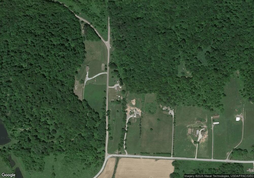
Map
Nearby Homes
- 0 Twy Highway 116
- 207 S Saint Clairsville Rd
- 4980 Beagle Club Rd
- 16066 State Route 258 SW
- 6075 E State Rd
- 15240 Stocker Ridge Rd
- 637 Maple St
- 145 Chapman Ave
- 134 Chapman Ave
- 0 Scott Dr
- 15216 Grove Rd SE
- 15216 Grove Rd SW Unit TP142
- 137 Downs Ave
- 782 E State St
- 541 E Canal St
- 5043 Frys Valley Rd SW
- 579 Chestnut St
- 279 E Canal St
- 241 N College St
- 516 Mulvane St
- 2261 Gravel Lick Rd
- 2215 Gravel Lick Rd
- 13200 Coal Bank Rd SW
- 2165 Gravel Lick Rd
- 2449 Gravel Lick Rd
- 1997 Gravel Lick Rd
- 2104 Gravel Lick Rd
- 2711 Gravel Lick Rd
- 12605 Gibson Rd SW
- 1590 Sleepy Elm Rd SW
- 12679 Winding Stairs Dr SW
- 1657 Gravel Lick Rd
- 2830 Gravel Lick Rd
- 2842 Gravel Lick Rd
- 2962 Centenary Hill Rd SW
- 13861 Hartwood Rd SW
- 1468 Sleepy Elm Rd SW
- 1744 Sleepy Elm Rd SW
- 2163 Sleepy Elm Rd SW
- 2162 Sleepy Elm Rd SW