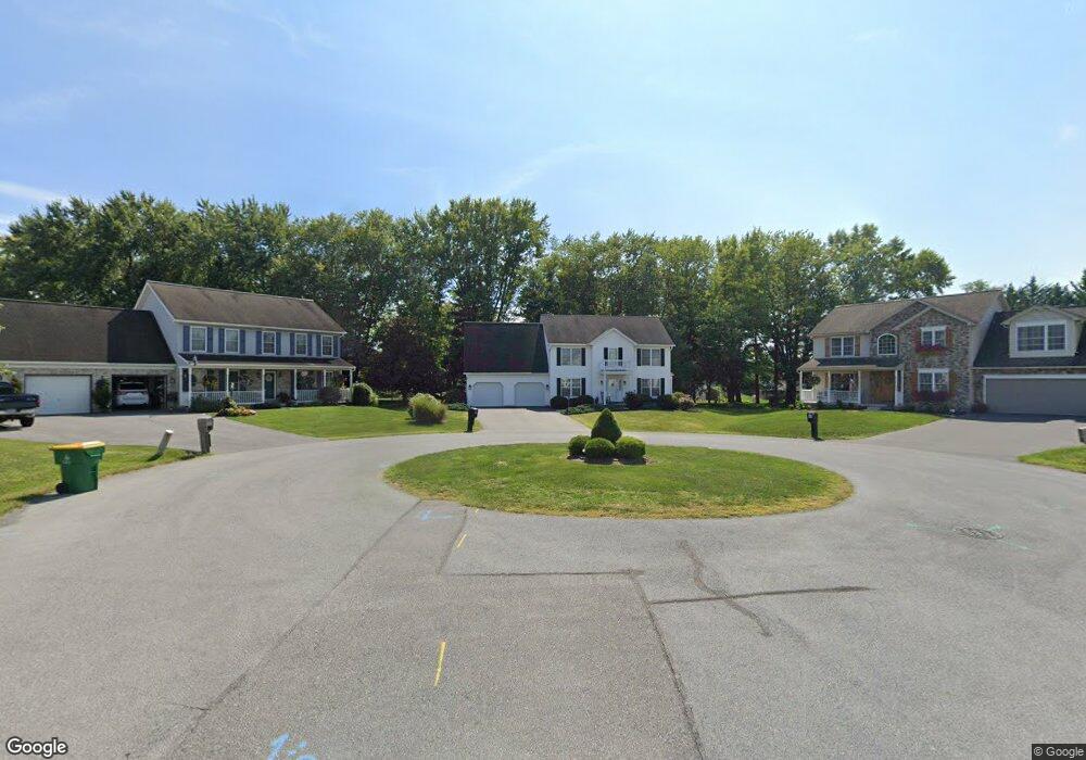
13238 Shawnee Cir Waynesboro, PA 17268
Estimated Value: $357,000 - $699,225
--
Bed
1
Bath
2,064
Sq Ft
$221/Sq Ft
Est. Value
About This Home
This home is located at 13238 Shawnee Cir, Waynesboro, PA 17268 and is currently estimated at $455,556, approximately $220 per square foot. 13238 Shawnee Cir is a home located in Franklin County with nearby schools including Waynesboro Area Senior High School, Noah's Ark Christian Child Care Center, and St. Andrew Catholic School.
Ownership History
Date
Name
Owned For
Owner Type
Purchase Details
Closed on
Nov 2, 2006
Sold by
London Barry M and London Sherry A
Bought by
Washburn Gary E and Washburn Melissa R
Current Estimated Value
Home Financials for this Owner
Home Financials are based on the most recent Mortgage that was taken out on this home.
Original Mortgage
$279,500
Outstanding Balance
$167,732
Interest Rate
6.47%
Mortgage Type
New Conventional
Estimated Equity
$287,824
Create a Home Valuation Report for This Property
The Home Valuation Report is an in-depth analysis detailing your home's value as well as a comparison with similar homes in the area
Home Values in the Area
Average Home Value in this Area
Purchase History
| Date | Buyer | Sale Price | Title Company |
|---|---|---|---|
| Washburn Gary E | $379,500 | None Available |
Source: Public Records
Mortgage History
| Date | Status | Borrower | Loan Amount |
|---|---|---|---|
| Open | Washburn Gary E | $279,500 |
Source: Public Records
Tax History Compared to Growth
Tax History
| Year | Tax Paid | Tax Assessment Tax Assessment Total Assessment is a certain percentage of the fair market value that is determined by local assessors to be the total taxable value of land and additions on the property. | Land | Improvement |
|---|---|---|---|---|
| 2025 | $4,868 | $31,690 | $2,830 | $28,860 |
| 2024 | $4,725 | $31,690 | $2,830 | $28,860 |
| 2023 | $4,586 | $31,690 | $2,830 | $28,860 |
| 2022 | $4,450 | $31,690 | $2,830 | $28,860 |
| 2021 | $4,323 | $31,690 | $2,830 | $28,860 |
| 2020 | $4,257 | $31,690 | $2,830 | $28,860 |
| 2019 | $4,161 | $31,690 | $2,830 | $28,860 |
| 2018 | $4,027 | $31,690 | $2,830 | $28,860 |
| 2017 | $3,940 | $31,690 | $2,830 | $28,860 |
| 2016 | $908 | $31,690 | $2,830 | $28,860 |
| 2015 | $846 | $31,690 | $2,830 | $28,860 |
| 2014 | $846 | $31,690 | $2,830 | $28,860 |
Source: Public Records
Map
Nearby Homes
- 13189 Seneca Dr
- 10828 Buchanan Trail E
- 162 Briar Ridge Dr
- 13082 Welty Rd
- 11439 Viking Ave
- 12398 Shelby Ave
- 45 Eastland Cir
- 13535 Waterloo Rd
- 9383 Oyer Dr
- 12122 Old Pen Mar Rd
- 0 Skiway Ave Unit PAFL2023044
- 13740 Lower Edgemont Rd
- 12702 Skiway Ave
- 10851 Sierra Dr
- 10842 Sierra Dr
- 12030 Old Route 16
- TBD Hollengreen Dr
- 539 Abigail Ave
- 535 Abigail Ave
- 500 Abigail Ave
- 13223 Shawnee Cir
- 13226 Shawnee Cir
- 13204 Shawnee Cir
- 13224 Delaware Cir
- 13225 Seneca Dr
- 13202 Delaware Cir
- 13186 Shawnee Cir
- 13183 Shawnee Cir
- 10479 Monta Vista Dr
- 13207 Seneca Dr
- 10469 Monta Vista Dr
- 13184 Delaware Cir
- 13235 Delaware Cir
- 10489 Monta Vista Dr
- 10489 Monta Vista Dr
- 13165 Shawnee Cir
- 13168 Shawnee Cir
- 10463 Monta Vista Dr
- 13171 Seneca Dr
- 13166 Delaware Cir