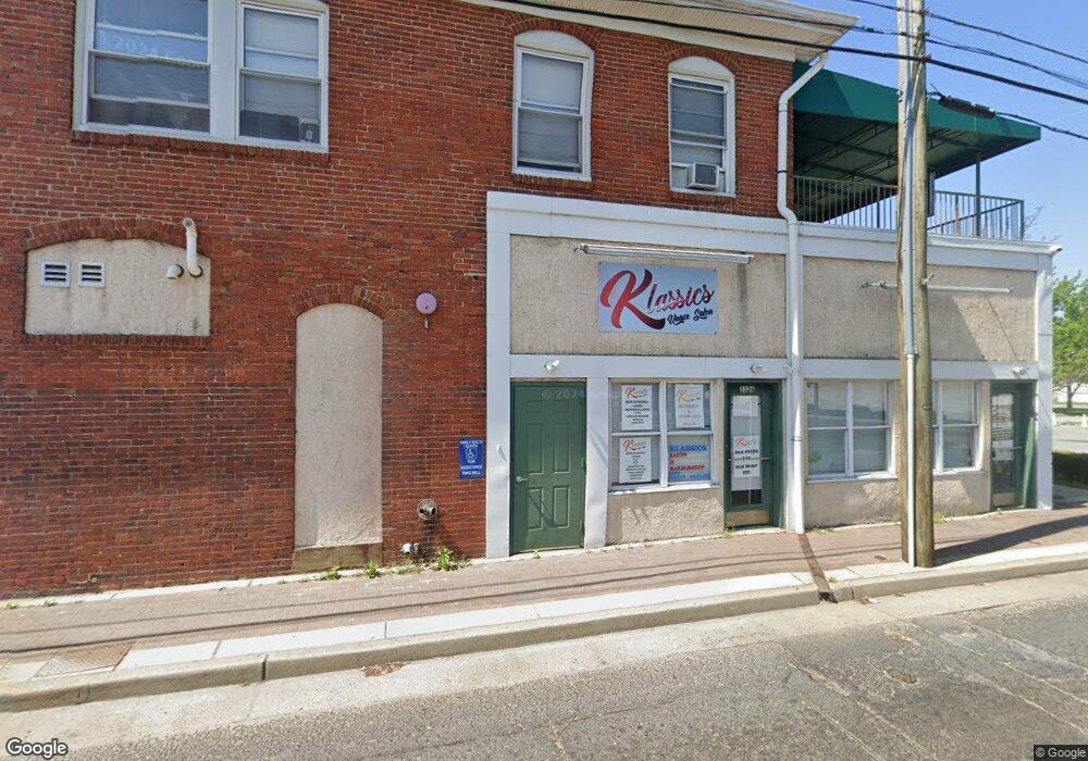
1324 N Delaware St Unit 20 Paulsboro, NJ 08066
Estimated Value: $381,547
--
Bed
--
Bath
--
Sq Ft
0.54
Acres
About This Home
This home is located at 1324 N Delaware St Unit 20, Paulsboro, NJ 08066 and is currently estimated at $381,547. 1324 N Delaware St Unit 20 is a home located in Gloucester County with nearby schools including Billingsport Elementary School, Loudenslager Elementary School, and Paulsboro High School.
Ownership History
Date
Name
Owned For
Owner Type
Purchase Details
Closed on
Jan 27, 2020
Sold by
Howard Wayne and Howard Marguerite
Bought by
Broad Delaeare Llc
Current Estimated Value
Create a Home Valuation Report for This Property
The Home Valuation Report is an in-depth analysis detailing your home's value as well as a comparison with similar homes in the area
Home Values in the Area
Average Home Value in this Area
Purchase History
| Date | Buyer | Sale Price | Title Company |
|---|---|---|---|
| Broad Delaeare Llc | $220,000 | None Available |
Source: Public Records
Tax History Compared to Growth
Tax History
| Year | Tax Paid | Tax Assessment Tax Assessment Total Assessment is a certain percentage of the fair market value that is determined by local assessors to be the total taxable value of land and additions on the property. | Land | Improvement |
|---|---|---|---|---|
| 2025 | $9,680 | $220,000 | $92,900 | $127,100 |
| 2024 | $9,671 | $220,000 | $92,900 | $127,100 |
| 2023 | $9,671 | $220,000 | $92,900 | $127,100 |
| 2022 | $9,495 | $220,000 | $92,900 | $127,100 |
| 2021 | $8,990 | $220,000 | $92,900 | $127,100 |
| 2020 | $9,253 | $220,000 | $92,900 | $127,100 |
| 2019 | $19,148 | $470,000 | $133,300 | $336,700 |
| 2018 | $18,053 | $470,000 | $133,300 | $336,700 |
| 2017 | $17,978 | $470,000 | $133,300 | $336,700 |
| 2016 | $17,127 | $470,000 | $133,300 | $336,700 |
| 2015 | $17,028 | $470,000 | $133,300 | $336,700 |
| 2014 | $16,571 | $492,000 | $133,300 | $358,700 |
Source: Public Records
Map
Nearby Homes
- 11 W Washington St
- 28 E Adams St
- 122 W Washington St
- 21 W Adams St
- 27 29 E Adams St
- 106 E Adams St
- 1519 Pine St
- 129 W Washington St
- 28 W Jefferson St
- 1534 Pine St
- 227 W Buck St
- 131 Jessup St
- 212 E Jefferson St
- 140 142 W Jefferson St
- 269 W Broad St
- 1043 Penn Line Rd
- 8 S Delaware St
- L18 20 W Broad St
- 46 Roosevelt St
- 335 W Buck St
- 1324 N Delaware St
- 1324 1326 N Delaware St Unit 20
- 1326 N Delaware St
- 1326 N Delaware St Unit 101
- 29 E Broad St
- 7 9 W Broad St
- 7 9 W Broad St Unit 101
- 7 W Broad St Unit 101
- 9 W Broad St Unit 7&9
- 9 W Broad St
- 1326 S Delaware St Unit 101
- 2 W Broad St
- 1 W Broad St
- 1 W Broad St
- 6 W Broad St
- 3 W Broad St Unit 3A
- 1400 S Delaware St Unit A
- 1400 S Delaware St Unit A
- 1400 S Delaware St
- 29 E Broad St