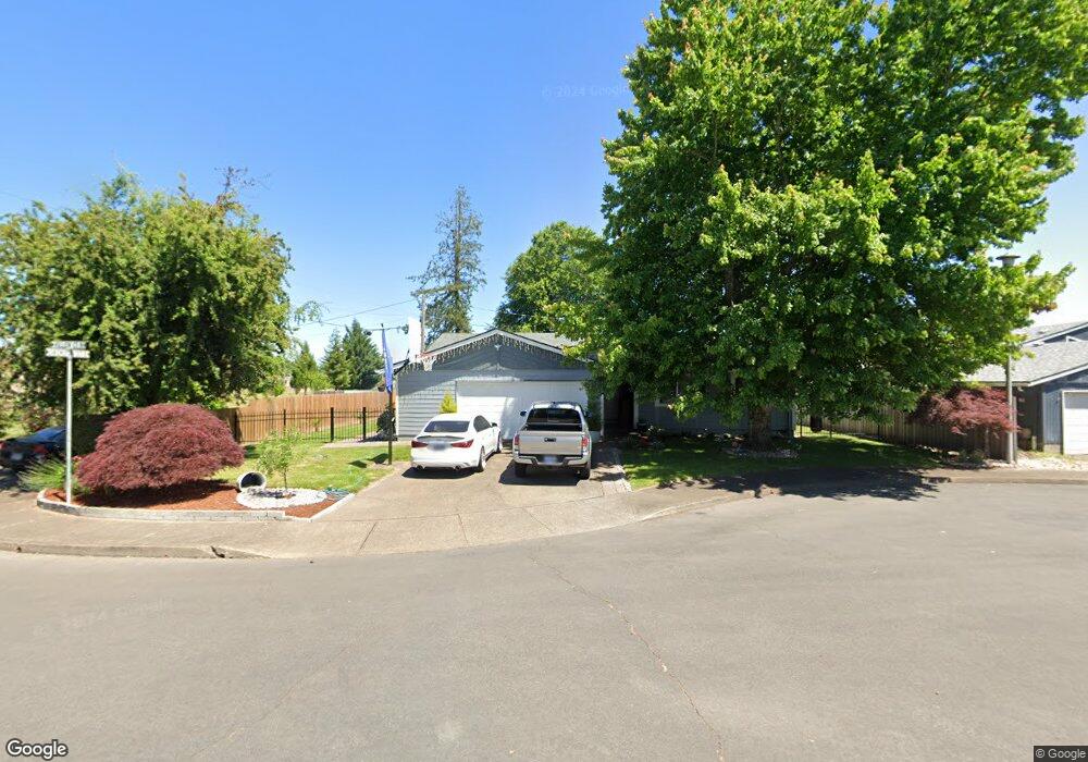
1324 Price Ln E Monmouth, OR 97361
Estimated Value: $345,702 - $373,000
3
Beds
1
Bath
1,023
Sq Ft
$355/Sq Ft
Est. Value
About This Home
This home is located at 1324 Price Ln E, Monmouth, OR 97361 and is currently estimated at $363,676, approximately $355 per square foot. 1324 Price Ln E is a home located in Polk County with nearby schools including Monmouth Elementary School, Talmadge Middle School, and Central High School.
Ownership History
Date
Name
Owned For
Owner Type
Purchase Details
Closed on
Oct 11, 2010
Sold by
Tulensru Gayla S
Bought by
Tulensru Gayla S and Tulensru Ansily L
Current Estimated Value
Home Financials for this Owner
Home Financials are based on the most recent Mortgage that was taken out on this home.
Original Mortgage
$84,000
Interest Rate
4.26%
Mortgage Type
New Conventional
Create a Home Valuation Report for This Property
The Home Valuation Report is an in-depth analysis detailing your home's value as well as a comparison with similar homes in the area
Home Values in the Area
Average Home Value in this Area
Purchase History
| Date | Buyer | Sale Price | Title Company |
|---|---|---|---|
| Tulensru Gayla S | -- | First American Title |
Source: Public Records
Mortgage History
| Date | Status | Borrower | Loan Amount |
|---|---|---|---|
| Closed | Tulensru Gayla S | $84,000 |
Source: Public Records
Tax History Compared to Growth
Tax History
| Year | Tax Paid | Tax Assessment Tax Assessment Total Assessment is a certain percentage of the fair market value that is determined by local assessors to be the total taxable value of land and additions on the property. | Land | Improvement |
|---|---|---|---|---|
| 2025 | $2,358 | $143,060 | $55,510 | $87,550 |
| 2024 | $2,358 | $138,900 | $53,890 | $85,010 |
| 2023 | $2,457 | $134,860 | $52,320 | $82,540 |
| 2022 | $2,211 | $130,940 | $50,800 | $80,140 |
| 2021 | $2,186 | $127,130 | $49,320 | $77,810 |
| 2020 | $2,099 | $123,430 | $47,880 | $75,550 |
| 2019 | $2,038 | $119,840 | $46,490 | $73,350 |
| 2018 | $1,968 | $116,350 | $45,130 | $71,220 |
| 2017 | $1,958 | $112,970 | $43,820 | $69,150 |
| 2016 | $2,000 | $109,680 | $42,550 | $67,130 |
| 2015 | $1,912 | $106,490 | $41,310 | $65,180 |
| 2014 | $1,869 | $103,390 | $40,110 | $63,280 |
Source: Public Records
Map
Nearby Homes
- 1329 Price Ln E
- 151 Edwards (#46) Rd S Unit 46
- 151 S Edwards (151) Rd
- 235 Edwards (#104) Rd S Unit 104
- 101 Edwards Rd S Unit 10-B Rd S
- 1082 Alberta Ave E
- 277 Edwards Rd S
- 277 Edwards Rd S Unit 133
- 309 Atwater St S
- 355 Jacobson Ct S
- 858 Main St E
- 1370 Bentley St E
- 235 Edwards Rd S Unit 104
- 416 Yellowstone Dr S
- 141 S 17th St Unit 61 St
- 141 S 17th St Unit 70 St
- 141 17th (#7) St S Unit 7
- 555 High St N
- 1390 Gwinn St E
- Lot 1600 S 16th St
- 1308 Price Ln E
- 1354 Price Ln E
- 1309 Price Ln E
- 1353 Price Ln E
- 179 Killen Ct
- 157 Killen Ct
- 1902 Main St E Unit 1902
- 1310 Main St E
- 140 Killen Ct
- 178 Killen Ct
- 154 Killen Ct
- 1250 Main St E
- 137 Monmouth Independence Hwy
- 177 Cottonwood Ct N
- 1220 Main St E
- 159 Cottonwood Ct N
- 1351 Main St E
- 308 Monmouth Independence Hwy
- 302 Monmouth Independence Hwy
- 1299 Main St E