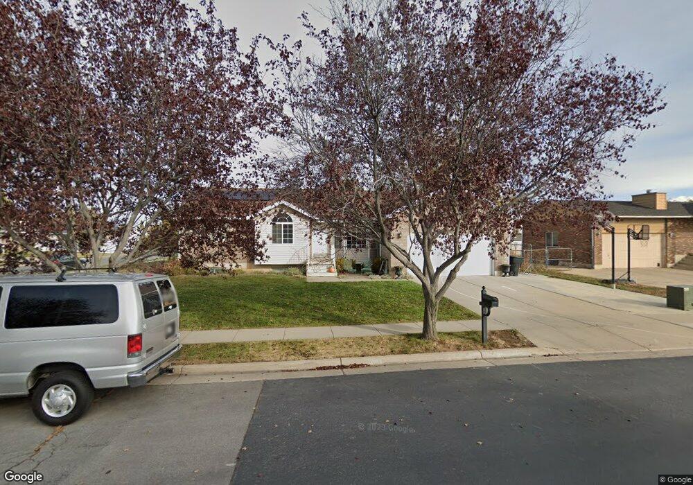
1324 W 1625 S Syracuse, UT 84075
Estimated Value: $456,000 - $493,000
3
Beds
2
Baths
1,365
Sq Ft
$353/Sq Ft
Est. Value
About This Home
This home is located at 1324 W 1625 S, Syracuse, UT 84075 and is currently estimated at $482,126, approximately $353 per square foot. 1324 W 1625 S is a home located in Davis County with nearby schools including Cook School, Syracuse Junior High School, and Syracuse High School.
Ownership History
Date
Name
Owned For
Owner Type
Purchase Details
Closed on
Dec 28, 2006
Sold by
Powell Gordon K and Powell Stephaney J
Bought by
Powell Lance G and Powell Bethany L
Current Estimated Value
Home Financials for this Owner
Home Financials are based on the most recent Mortgage that was taken out on this home.
Original Mortgage
$142,759
Outstanding Balance
$84,641
Interest Rate
6.16%
Mortgage Type
FHA
Estimated Equity
$397,485
Purchase Details
Closed on
Feb 22, 1999
Sold by
Orozco Dalone S
Bought by
Powell Gordon K and Powell Stephaney J
Home Financials for this Owner
Home Financials are based on the most recent Mortgage that was taken out on this home.
Original Mortgage
$32,000
Interest Rate
6.42%
Purchase Details
Closed on
May 8, 1998
Sold by
Orozco Robert and Orozco Dalone S
Bought by
Orozco Dalone S
Create a Home Valuation Report for This Property
The Home Valuation Report is an in-depth analysis detailing your home's value as well as a comparison with similar homes in the area
Home Values in the Area
Average Home Value in this Area
Purchase History
| Date | Buyer | Sale Price | Title Company |
|---|---|---|---|
| Powell Lance G | -- | Security Title | |
| Powell Gordon K | -- | First American Title Co | |
| Orozco Dalone S | -- | -- |
Source: Public Records
Mortgage History
| Date | Status | Borrower | Loan Amount |
|---|---|---|---|
| Open | Powell Lance G | $142,759 | |
| Previous Owner | Powell Gordon K | $32,000 |
Source: Public Records
Tax History Compared to Growth
Tax History
| Year | Tax Paid | Tax Assessment Tax Assessment Total Assessment is a certain percentage of the fair market value that is determined by local assessors to be the total taxable value of land and additions on the property. | Land | Improvement |
|---|---|---|---|---|
| 2025 | $2,543 | $245,300 | $116,172 | $129,128 |
| 2024 | $2,429 | $235,950 | $93,716 | $142,234 |
| 2023 | $2,271 | $402,000 | $130,715 | $271,285 |
| 2022 | $2,471 | $239,800 | $75,567 | $164,233 |
| 2021 | $2,190 | $329,000 | $111,404 | $217,596 |
| 2020 | $1,960 | $285,000 | $98,229 | $186,771 |
| 2019 | $1,867 | $268,000 | $94,569 | $173,431 |
| 2018 | $1,705 | $243,000 | $92,108 | $150,892 |
| 2016 | $1,530 | $114,345 | $35,406 | $78,939 |
| 2015 | $1,480 | $105,325 | $35,406 | $69,919 |
| 2014 | $1,352 | $98,071 | $35,406 | $62,665 |
| 2013 | -- | $99,340 | $32,571 | $66,769 |
Source: Public Records
Map
Nearby Homes
- 1656 Marilyn Dr
- 1154 W 1700 S
- 1384 S Melanie Ln
- 1413 S David St
- 1622 S 1000 W
- 1385 S 1100 W
- 1153 W 1875 S
- 1466 Earl Cir
- 1327 S 1650 W
- Everglade Plan at Wilcox Farms
- Echo Plan at Wilcox Farms
- Granite Plan at Wilcox Farms
- 1553 S 900 W
- 1553 S 900 W Unit 139
- 1166 Dallas St
- 1142 W 2050 S
- 1148 W 2050 S
- 992 W 1910 S
- 1251 S 1650 W
- 1240 S 1575 W