13243 N Highway 10 Tahlequah, OK 74464
Estimated Value: $173,000 - $209,000
3
Beds
2
Baths
912
Sq Ft
$218/Sq Ft
Est. Value
About This Home
This home is located at 13243 N Highway 10, Tahlequah, OK 74464 and is currently estimated at $199,015, approximately $218 per square foot. 13243 N Highway 10 is a home located in Cherokee County with nearby schools including Lowrey School.
Ownership History
Date
Name
Owned For
Owner Type
Purchase Details
Closed on
Aug 28, 2025
Sold by
Gower Shanon Renee and Gower Doyle
Bought by
K And R 5 Springs Farm Llc
Current Estimated Value
Purchase Details
Closed on
Sep 26, 2018
Sold by
Bermann David
Bought by
Davis Joe and Davis Betsy
Home Financials for this Owner
Home Financials are based on the most recent Mortgage that was taken out on this home.
Original Mortgage
$108,007
Interest Rate
4.25%
Mortgage Type
FHA
Purchase Details
Closed on
Apr 10, 2008
Sold by
Secretary Of Housing And Urban Developme
Bought by
Luster Craig
Purchase Details
Closed on
Aug 29, 2006
Sold by
Page Raymond D and Page Denise K
Bought by
Secretary Of Housing And Urban Developme
Purchase Details
Closed on
Jan 24, 2001
Sold by
William and Carol Beals
Bought by
Raymond and Denise Page
Purchase Details
Closed on
Oct 3, 1997
Sold by
Larry Dean Kelly
Bought by
William and Carol Beals
Create a Home Valuation Report for This Property
The Home Valuation Report is an in-depth analysis detailing your home's value as well as a comparison with similar homes in the area
Home Values in the Area
Average Home Value in this Area
Purchase History
| Date | Buyer | Sale Price | Title Company |
|---|---|---|---|
| K And R 5 Springs Farm Llc | $2,850,000 | Old Republic National Title | |
| Davis Joe | $110,000 | None Available | |
| Luster Craig | -- | None Available | |
| Secretary Of Housing And Urban Developme | $93,924 | None Available | |
| Raymond | $29,500 | -- | |
| William | $16,000 | -- |
Source: Public Records
Mortgage History
| Date | Status | Borrower | Loan Amount |
|---|---|---|---|
| Previous Owner | Davis Joe | $108,007 |
Source: Public Records
Tax History Compared to Growth
Tax History
| Year | Tax Paid | Tax Assessment Tax Assessment Total Assessment is a certain percentage of the fair market value that is determined by local assessors to be the total taxable value of land and additions on the property. | Land | Improvement |
|---|---|---|---|---|
| 2025 | $822 | $11,177 | $4,453 | $6,724 |
| 2024 | $822 | $10,645 | $4,241 | $6,404 |
| 2023 | $822 | $10,137 | $3,355 | $6,782 |
| 2022 | $949 | $12,100 | $2,200 | $9,900 |
| 2021 | $945 | $12,100 | $2,200 | $9,900 |
| 2020 | $866 | $12,100 | $2,200 | $9,900 |
| 2019 | $965 | $12,100 | $2,200 | $9,900 |
| 2018 | $225 | $2,805 | $2,200 | $605 |
| 2017 | $227 | $2,805 | $2,200 | $605 |
| 2016 | $319 | $3,930 | $2,658 | $1,272 |
| 2015 | $414 | $4,627 | $3,355 | $1,272 |
| 2014 | $414 | $6,959 | $3,355 | $3,604 |
Source: Public Records
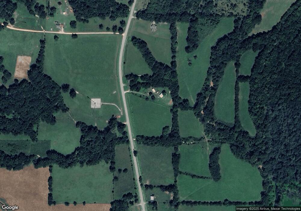
Map
Nearby Homes
- 12562 N Webster Rd
- 21088 E Steely Hollow Rd
- 13468 Hwy 10
- 13468 Oklahoma 10
- 11457 N 510 Rd
- 13725 N 527 Rd
- 20819 E Steely Hollow Rd
- TBD Blk 1 Lot 11 E Steely Hollow Rd
- TBD Blk 1 Lot 4 E Steely Hollow Rd
- TBD BLK 1 Lot 10 E Steely Hollow Rd
- TBD BLK 1 Lot 9 E Steely Hollow Rd
- TBD Blk 1 Lot 1 E Steely Hollow Rd
- TBD BLK 1 Lot 2 E Steely Hollow Rd
- TBD Blk 1 Lot 6 E Steely Hollow Rd
- TBD Blk 1 Lot 8 E Steely Hollow Rd
- TBD Blk 1 Lot 5 E Steely Hollow Rd
- 105 Summit Ridge Dr
- 912 Summit Ridge Ct
- 206 Alder Way
- 202 Alder Way
- 13243 N Highway 10
- 13264 N Highway 10
- 0 Highway 10 Unit 2321731
- 0 Highway 10 Unit 1192290
- 13171 Highway 10
- 11442 Highway 10
- 13258 N Highway 10
- 13258 N Highway 10
- 13258 N Highway 10
- 11299 N 530 Rd
- 13170 Highway 10
- 11350 N Highway 10
- 11357 Highway 10
- 11357 N Highway 10
- 13151 N Highway 10
- 6282 N Big Feather Ridge Rd
- 11464 N 569 Rd
- 11207 N 530 Rd
- 20971 E Dixie Pkwy
- 13144 N Highway 10