13245 Caris Ct Alpharetta, GA 30009
Estimated Value: $1,383,580 - $1,921,000
5
Beds
7
Baths
5,612
Sq Ft
$298/Sq Ft
Est. Value
About This Home
This home is located at 13245 Caris Ct, Alpharetta, GA 30009 and is currently estimated at $1,671,895, approximately $297 per square foot. 13245 Caris Ct is a home located in Fulton County with nearby schools including Summit Hill Elementary School, Hopewell Middle School, and Cambridge High School.
Ownership History
Date
Name
Owned For
Owner Type
Purchase Details
Closed on
Nov 16, 2009
Sold by
Cwalt Inc Al Trust 2006-36T2
Bought by
Versluis Rolf and Versluis Christine M
Current Estimated Value
Home Financials for this Owner
Home Financials are based on the most recent Mortgage that was taken out on this home.
Original Mortgage
$512,000
Outstanding Balance
$333,974
Interest Rate
4.98%
Mortgage Type
New Conventional
Estimated Equity
$1,337,921
Purchase Details
Closed on
Jul 7, 2009
Sold by
Al-Honaiti David
Bought by
Cwalt Inc Alterna Trust 2006-3
Create a Home Valuation Report for This Property
The Home Valuation Report is an in-depth analysis detailing your home's value as well as a comparison with similar homes in the area
Home Values in the Area
Average Home Value in this Area
Purchase History
| Date | Buyer | Sale Price | Title Company |
|---|---|---|---|
| Versluis Rolf | $640,000 | -- | |
| Cwalt Inc Alterna Trust 2006-3 | $620,500 | -- |
Source: Public Records
Mortgage History
| Date | Status | Borrower | Loan Amount |
|---|---|---|---|
| Open | Versluis Rolf | $512,000 |
Source: Public Records
Tax History Compared to Growth
Tax History
| Year | Tax Paid | Tax Assessment Tax Assessment Total Assessment is a certain percentage of the fair market value that is determined by local assessors to be the total taxable value of land and additions on the property. | Land | Improvement |
|---|---|---|---|---|
| 2025 | $1,345 | $403,080 | $135,280 | $267,800 |
| 2023 | $11,498 | $407,360 | $135,280 | $272,080 |
| 2022 | $7,967 | $393,720 | $135,280 | $258,440 |
| 2021 | $7,981 | $382,280 | $131,360 | $250,920 |
| 2020 | $8,092 | $377,720 | $129,800 | $247,920 |
| 2019 | $1,449 | $371,040 | $127,480 | $243,560 |
| 2018 | $9,521 | $354,440 | $124,520 | $229,920 |
| 2017 | $6,958 | $250,440 | $61,760 | $188,680 |
| 2016 | $7,743 | $277,320 | $60,080 | $217,240 |
| 2015 | $9,015 | $277,320 | $60,080 | $217,240 |
| 2014 | $7,231 | $248,640 | $51,000 | $197,640 |
Source: Public Records
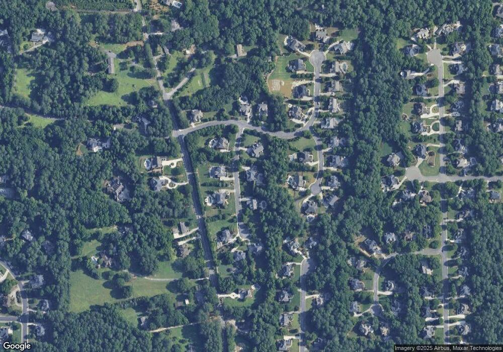
Map
Nearby Homes
- 165 Oakhurst Leaf Dr Unit 4
- 4110 Providence Square
- 13365 Hopewell Rd
- 1895 Henley Way
- 735 Hammock Ln
- 4016 Dover Ave
- 3988 Dover Ave Unit 1
- 1580 Mayfield Rd
- 115 Baxley Ln
- 175 Andover Dr
- 305 Rhodes Chase Ct
- 925 Pebblestone Ct
- 14050 Providence Rd
- 2470 Hopewell Plantation Dr
- 1645 Mayfield Rd
- 141 North Trace
- 126 Brindle Ln
- 150 Cobblestone Way
- 2215 Traywick Chase
- 9103 Windrush Ln
- LOT 21 Caris Ct
- 0 Caris Ct Unit 8168694
- 13255 Caris Ct
- 13235 Caris Ct
- 13250 Caris Ct
- 13222 Antler Ridge
- 13260 Caris Ct
- 0 Evergrace Dr Unit 7460921
- 0 Evergrace Dr
- 13242 Antler Ridge
- 1900 Evergrace Dr
- 13230 Caris Ct
- 1910 Evergrace Dr
- 13202 Antler Ridge
- 1930 Evergrace Dr
- 13225 Caris Ct
- 13230 Providence Rd
- 1890 Evergrace Dr
- 13237 Antler Ridge
- 13227 Antler Ridge