13245 Rolling Plains Ct Herndon, VA 20171
Estimated Value: $593,000 - $653,000
3
Beds
4
Baths
2,192
Sq Ft
$283/Sq Ft
Est. Value
About This Home
This home is located at 13245 Rolling Plains Ct, Herndon, VA 20171 and is currently estimated at $620,262, approximately $282 per square foot. 13245 Rolling Plains Ct is a home located in Fairfax County with nearby schools including Mcnair Elementary School, McNair Upper Elementary School, and Rachel Carson Middle School.
Ownership History
Date
Name
Owned For
Owner Type
Purchase Details
Closed on
Sep 30, 1999
Sold by
The Ryland Group Inc
Bought by
Abdul Baki Monah
Current Estimated Value
Home Financials for this Owner
Home Financials are based on the most recent Mortgage that was taken out on this home.
Original Mortgage
$136,900
Outstanding Balance
$41,399
Interest Rate
7.85%
Estimated Equity
$578,863
Create a Home Valuation Report for This Property
The Home Valuation Report is an in-depth analysis detailing your home's value as well as a comparison with similar homes in the area
Home Values in the Area
Average Home Value in this Area
Purchase History
| Date | Buyer | Sale Price | Title Company |
|---|---|---|---|
| Abdul Baki Monah | $171,151 | -- |
Source: Public Records
Mortgage History
| Date | Status | Borrower | Loan Amount |
|---|---|---|---|
| Open | Abdul Baki Monah | $136,900 |
Source: Public Records
Tax History
| Year | Tax Paid | Tax Assessment Tax Assessment Total Assessment is a certain percentage of the fair market value that is determined by local assessors to be the total taxable value of land and additions on the property. | Land | Improvement |
|---|---|---|---|---|
| 2025 | $6,586 | $593,200 | $200,000 | $393,200 |
| 2024 | $6,586 | $568,530 | $185,000 | $383,530 |
| 2023 | $6,149 | $544,910 | $180,000 | $364,910 |
| 2022 | $5,531 | $483,710 | $150,000 | $333,710 |
| 2021 | $5,408 | $460,880 | $135,000 | $325,880 |
| 2020 | $5,155 | $435,580 | $130,000 | $305,580 |
| 2019 | $3,816 | $428,020 | $125,000 | $303,020 |
| 2018 | $4,810 | $418,240 | $120,000 | $298,240 |
| 2017 | $4,705 | $405,260 | $110,000 | $295,260 |
| 2016 | $4,815 | $415,630 | $110,000 | $305,630 |
Source: Public Records
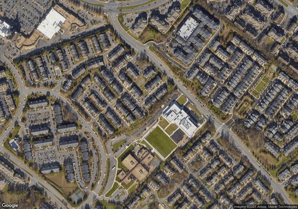
Map
Nearby Homes
- 3499 Audubon Cove
- 3495 Audubon Cove
- 2428 Corn Crib Ct
- 2495 Angeline Dr Unit 303
- 2526 James Monroe Cir
- 13480 Stanton Place
- 13040 Cabin Creek Rd Unit 13040
- 2587 James Madison Cir
- 13010 Hattontown Square
- 13342 Arrowbrook Centre Dr Unit 108
- 13007 Hattontown Square
- 13334 Arrowbrook Centre Dr Unit 112
- 13506 Innovation Station Loop Unit 2B
- 2448 Leyland Ridge Rd
- 13695 Innovation Station Loop Unit 77B
- 13039 Hattontown Square
- 13574 Innovation Station Loop Unit 19A
- 12921 Sunrise Ridge Aly Unit 69
- 12905 Centre Park Cir Unit 212
- 12910 Sunrise Ridge Aly Unit 60
- 13243 Rolling Plains Ct
- 13247 Rolling Plains Ct
- 13241 Rolling Plains Ct
- 13239 Rolling Plains Ct
- 13237 Rolling Plains Ct
- 2481 Rolling Plains Dr
- 13233 Rolling Plains Ct
- 2479 Rolling Plains Dr
- 2490 Rolling Plains Dr
- 2488 Rolling Plains Dr
- 2492 Rolling Plains Dr
- 13231 Rolling Plains Ct
- 2486 Rolling Plains Dr
- 2494 Rolling Plains Dr
- 13236 Rolling Plains Ct
- 2482 Rolling Plains Dr
- 2477 Rolling Plains Dr
- 13229 Rolling Plains Ct
- 13234 Rolling Plains Ct
- 2480 Rolling Plains Dr
Your Personal Tour Guide
Ask me questions while you tour the home.