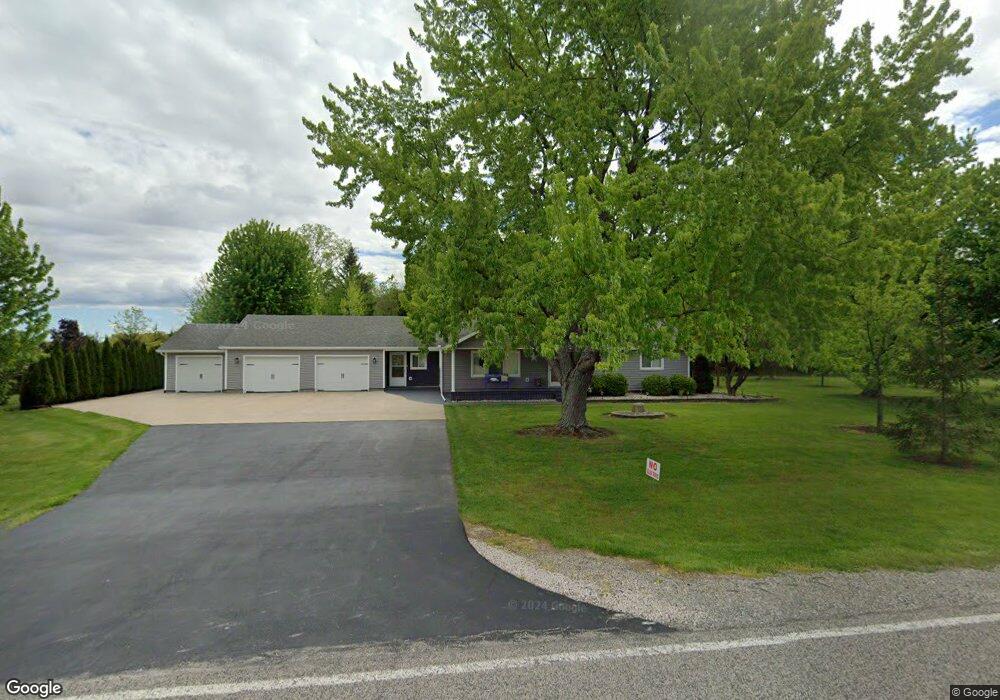
13245 Stuart Rd Saint Charles, MI 48655
Estimated Value: $198,000 - $224,798
3
Beds
1
Bath
1,476
Sq Ft
$143/Sq Ft
Est. Value
About This Home
This home is located at 13245 Stuart Rd, Saint Charles, MI 48655 and is currently estimated at $210,450, approximately $142 per square foot. 13245 Stuart Rd is a home located in Saginaw County with nearby schools including Big Rock Elementary School, Chesaning Middle School, and Chesaning Union High School.
Ownership History
Date
Name
Owned For
Owner Type
Purchase Details
Closed on
May 14, 2020
Sold by
Travis Debra M and Hafner Debra M
Bought by
Hafner Christopher T
Current Estimated Value
Home Financials for this Owner
Home Financials are based on the most recent Mortgage that was taken out on this home.
Original Mortgage
$104,000
Outstanding Balance
$92,158
Interest Rate
3.3%
Mortgage Type
Unknown
Estimated Equity
$118,292
Purchase Details
Closed on
Aug 28, 2013
Sold by
Hafner Christopher T
Bought by
Hafner Debra M
Purchase Details
Closed on
Aug 7, 2009
Sold by
Hafner Virginia and Hafner Thomas J
Bought by
Hafner Christopher T and Hafner Debra M
Purchase Details
Closed on
Oct 24, 1967
Sold by
Trueschel Donald and Trueschel Marjorie
Bought by
Hafner Thomas J and Hafner Virginia B
Create a Home Valuation Report for This Property
The Home Valuation Report is an in-depth analysis detailing your home's value as well as a comparison with similar homes in the area
Purchase History
| Date | Buyer | Sale Price | Title Company |
|---|---|---|---|
| Hafner Christopher T | $140,000 | Ata National Title Group Llc | |
| Hafner Debra M | -- | -- | |
| Hafner Christopher T | -- | -- | |
| Hafner Thomas J | -- | -- |
Source: Public Records
Mortgage History
| Date | Status | Borrower | Loan Amount |
|---|---|---|---|
| Open | Hafner Christopher T | $104,000 |
Source: Public Records
Tax History
| Year | Tax Paid | Tax Assessment Tax Assessment Total Assessment is a certain percentage of the fair market value that is determined by local assessors to be the total taxable value of land and additions on the property. | Land | Improvement |
|---|---|---|---|---|
| 2025 | $736 | $102,400 | $0 | $0 |
| 2024 | $714 | $92,200 | $0 | $0 |
| 2023 | $680 | $83,900 | $0 | $0 |
| 2022 | $2,124 | $73,100 | $0 | $0 |
| 2021 | $1,904 | $66,300 | $0 | $0 |
| 2020 | $1,856 | $60,500 | $0 | $0 |
| 2019 | $1,807 | $58,900 | $0 | $0 |
| 2018 | $593 | $54,200 | $0 | $0 |
| 2017 | $1,624 | $54,500 | $0 | $0 |
| 2016 | $1,611 | $52,800 | $0 | $0 |
| 2014 | -- | $51,500 | $0 | $41,000 |
| 2013 | -- | $50,600 | $0 | $0 |
Source: Public Records
Map
Nearby Homes
- 8730 Chesaning Rd
- 7147 Gary Rd
- 14000 W Burt Rd
- 307 N Line St
- 216 S Chapman St
- 0 N 4th St
- 119 Andres St
- 721 E Broad St
- 0 N 1st St
- 123 N Clark St
- 829 Brady St
- V/L W Liberty St
- 202 S Clark St
- V/L #4 Brookshire Dr
- V/L #5 Brookshire Dr
- 5997 Fergus Rd
- 739 Gasper St
- 12465 Fergus Rd
- 600 Bentley St
- 921 S Front St
Your Personal Tour Guide
Ask me questions while you tour the home.