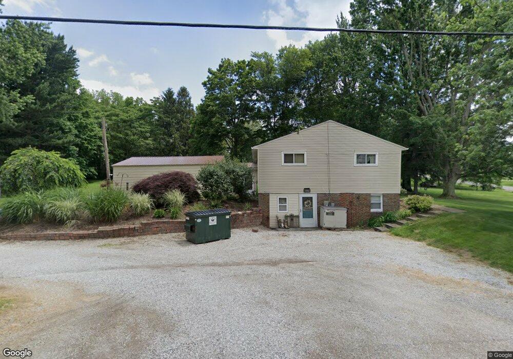
13246 Doylestown Rd Rittman, OH 44270
Estimated Value: $193,000 - $263,000
3
Beds
2
Baths
1,064
Sq Ft
$218/Sq Ft
Est. Value
About This Home
This home is located at 13246 Doylestown Rd, Rittman, OH 44270 and is currently estimated at $231,820, approximately $217 per square foot. 13246 Doylestown Rd is a home located in Wayne County with nearby schools including Hazel Harvey Elementary School, Chippewa Intermediate School, and Chippewa Jr./Sr. High School.
Ownership History
Date
Name
Owned For
Owner Type
Purchase Details
Closed on
Jan 8, 2004
Sold by
Forrer Randall W and Forrer Joyce A
Bought by
Forrer Randall W
Current Estimated Value
Home Financials for this Owner
Home Financials are based on the most recent Mortgage that was taken out on this home.
Original Mortgage
$92,600
Outstanding Balance
$43,845
Interest Rate
6.08%
Mortgage Type
New Conventional
Estimated Equity
$187,975
Purchase Details
Closed on
Nov 27, 2002
Sold by
Lieberth Bernard J
Bought by
Forrer Randall W and Forrer Joyce A
Home Financials for this Owner
Home Financials are based on the most recent Mortgage that was taken out on this home.
Original Mortgage
$70,000
Interest Rate
6.22%
Mortgage Type
New Conventional
Create a Home Valuation Report for This Property
The Home Valuation Report is an in-depth analysis detailing your home's value as well as a comparison with similar homes in the area
Home Values in the Area
Average Home Value in this Area
Purchase History
| Date | Buyer | Sale Price | Title Company |
|---|---|---|---|
| Forrer Randall W | -- | -- | |
| Forrer Randall W | $87,500 | -- |
Source: Public Records
Mortgage History
| Date | Status | Borrower | Loan Amount |
|---|---|---|---|
| Open | Forrer Randall W | $92,600 | |
| Closed | Forrer Randall W | $70,000 |
Source: Public Records
Tax History Compared to Growth
Tax History
| Year | Tax Paid | Tax Assessment Tax Assessment Total Assessment is a certain percentage of the fair market value that is determined by local assessors to be the total taxable value of land and additions on the property. | Land | Improvement |
|---|---|---|---|---|
| 2024 | $2,040 | $58,570 | $16,970 | $41,600 |
| 2023 | $2,040 | $58,570 | $16,970 | $41,600 |
| 2022 | $1,521 | $40,110 | $11,620 | $28,490 |
| 2021 | $1,473 | $38,650 | $11,620 | $27,030 |
| 2020 | $1,484 | $38,650 | $11,620 | $27,030 |
| 2019 | $1,341 | $33,700 | $11,600 | $22,100 |
| 2018 | $1,354 | $33,700 | $11,600 | $22,100 |
| 2017 | $1,343 | $33,700 | $11,600 | $22,100 |
| 2016 | $1,309 | $32,400 | $11,150 | $21,250 |
| 2015 | $1,303 | $32,400 | $11,150 | $21,250 |
| 2014 | $1,144 | $32,400 | $11,150 | $21,250 |
| 2013 | $1,185 | $32,530 | $10,520 | $22,010 |
Source: Public Records
Map
Nearby Homes
- 13270 Doylestown Rd
- 13293 Hatfield Rd
- 0 E Ohio Ave Unit 5118655
- 970 Eastern Rd
- 13729 Galehouse Rd
- 15041 Doylestown Rd
- 247 E Sunset Dr
- 12160 Harvey Cir
- 0 Harvey Cir
- 22, 23 Gish Rd
- 200 Industrial St
- 258 Industrial St
- 245 Industrial St
- 14 Hawk Ridge
- 15500 Freedom Dr
- 0 Akron Rd Unit 5123781
- 243 Chelley Ln
- 500 W Clinton St
- 1008 Barn Swallow Cir
- 1014 Marissa Dr
- 14252 Hatfield Rd
- 14317 Hatfield Rd
- 13310 Doylestown Rd
- 0 Hatfield Rd
- 14328 Hatfield Rd
- 14359 Hatfield Rd
- 13217 Doylestown Rd
- 13283 Doylestown Rd
- 13169 Doylestown Rd
- 14379 Hatfield Rd
- 13317 Doylestown Rd
- 13159 Doylestown Rd
- 14372 Hatfield Rd
- 13136 Doylestown Rd
- 14214 Hatfield Rd
- 14385 Hatfield Rd
- 13355 Doylestown Rd
- 14437 Hatfield Rd
- 14437 Hatfield Rd
- 13100 Doylestown Rd