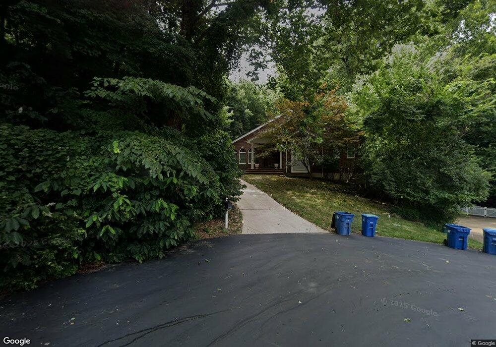
13248 Weatherfield Dr Saint Louis, MO 63146
Estimated Value: $640,000 - $1,005,000
4
Beds
5
Baths
3,148
Sq Ft
$272/Sq Ft
Est. Value
About This Home
This home is located at 13248 Weatherfield Dr, Saint Louis, MO 63146 and is currently estimated at $855,395, approximately $271 per square foot. 13248 Weatherfield Dr is a home located in St. Louis County with nearby schools including River Bend Elementary School, Parkway Central Middle School, and Parkway Central High School.
Ownership History
Date
Name
Owned For
Owner Type
Purchase Details
Closed on
Nov 16, 2001
Sold by
Yoshida Lester T and Yoshida Miki
Bought by
Magnuson Norman S and Magnuson Nancy S
Current Estimated Value
Home Financials for this Owner
Home Financials are based on the most recent Mortgage that was taken out on this home.
Original Mortgage
$324,000
Outstanding Balance
$124,954
Interest Rate
6.54%
Estimated Equity
$730,441
Purchase Details
Closed on
Aug 21, 1998
Sold by
Brian Richterkessing
Bought by
Yoshida Lester T and Yoshida Miki
Home Financials for this Owner
Home Financials are based on the most recent Mortgage that was taken out on this home.
Original Mortgage
$328,500
Interest Rate
6.9%
Create a Home Valuation Report for This Property
The Home Valuation Report is an in-depth analysis detailing your home's value as well as a comparison with similar homes in the area
Home Values in the Area
Average Home Value in this Area
Purchase History
| Date | Buyer | Sale Price | Title Company |
|---|---|---|---|
| Magnuson Norman S | $405,000 | -- | |
| Yoshida Lester T | -- | Capital Title |
Source: Public Records
Mortgage History
| Date | Status | Borrower | Loan Amount |
|---|---|---|---|
| Open | Magnuson Norman S | $324,000 | |
| Previous Owner | Yoshida Lester T | $328,500 |
Source: Public Records
Tax History Compared to Growth
Tax History
| Year | Tax Paid | Tax Assessment Tax Assessment Total Assessment is a certain percentage of the fair market value that is determined by local assessors to be the total taxable value of land and additions on the property. | Land | Improvement |
|---|---|---|---|---|
| 2025 | $9,054 | $136,300 | $40,960 | $95,340 |
| 2024 | $9,054 | $136,850 | $22,720 | $114,130 |
| 2023 | $8,685 | $136,850 | $22,720 | $114,130 |
| 2022 | $8,226 | $117,940 | $15,110 | $102,830 |
| 2021 | $8,193 | $117,940 | $15,110 | $102,830 |
| 2020 | $7,872 | $108,820 | $15,110 | $93,710 |
| 2019 | $7,701 | $108,820 | $15,110 | $93,710 |
| 2018 | $7,029 | $92,050 | $14,570 | $77,480 |
| 2017 | $6,837 | $92,050 | $14,570 | $77,480 |
| 2016 | $7,235 | $92,600 | $15,540 | $77,060 |
| 2015 | $7,584 | $92,600 | $15,540 | $77,060 |
| 2014 | $6,892 | $90,300 | $17,800 | $72,500 |
Source: Public Records
Map
Nearby Homes
- 12980 Mayerling Dr
- 13815 Amiot Dr Unit A
- 13104 Fourposter Ct
- 2314 Seven Pines Dr Unit 8
- 13176 Royal Pines Dr Unit 2
- 13191 Royal Pines Dr Unit 1
- 13033 King Arthur Spur
- 2368 Seven Pines Dr Unit 2
- 1834 Chelmsford Ct
- 12929 Ballantine Ct
- 13112 Royal Pines Dr
- 13136 Oldfarm Dr
- 1444 Nancy Lee Dr
- 2115 Riding Spur Dr
- 1324 Golden Point Dr
- 1935 Marine Terrace Dr Unit D
- 12964 Autumn View Dr
- 1960 Marine Terrace Dr Unit H
- 1960 Marine Terrace Dr Unit K
- 1948 Marine Terrace Dr Unit A
- 13252 Weatherfield Dr
- 13212 Weatherfield Dr
- 13208 Weatherfield Dr
- 13204 Weatherfield Dr
- 13247 Weatherfield Dr
- 13243 Weatherfield Dr
- 2002 Burlewood Dr
- 2006 Burlewood Dr
- 2014 Burlewood Dr
- 13216 Weatherfield Dr
- 13239 Weatherfield Dr
- 13215 Weatherfield Dr
- 13220 Weatherfield Dr
- 2015 Burlewood Dr
- 2007 Burlewood Dr
- 13192 Weatherfield Dr
- 13522 Amiot Dr
- 2029 La Chelle Dr
- 13193 Weatherfield Dr
- 1996 Burlewood Dr