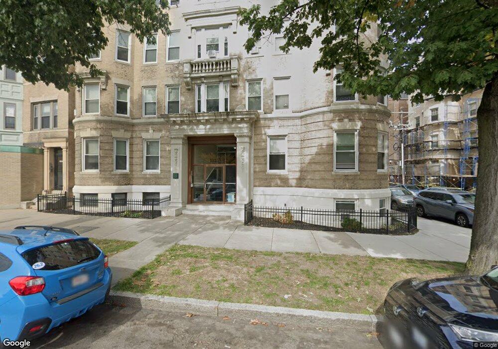
1325 Commonwealth Ave Unit 51 Allston, MA 02134
Commonwealth NeighborhoodEstimated Value: $503,000 - $575,000
3
Beds
1
Bath
845
Sq Ft
$630/Sq Ft
Est. Value
About This Home
This home is located at 1325 Commonwealth Ave Unit 51, Allston, MA 02134 and is currently estimated at $532,202, approximately $629 per square foot. 1325 Commonwealth Ave Unit 51 is a home located in Suffolk County with nearby schools including Match Charter Public School and Boston Green Academy Horace Mann Charter School.
Ownership History
Date
Name
Owned For
Owner Type
Purchase Details
Closed on
Aug 16, 2011
Sold by
A & B Rt
Bought by
1325 Llc
Current Estimated Value
Home Financials for this Owner
Home Financials are based on the most recent Mortgage that was taken out on this home.
Original Mortgage
$3,700,000
Outstanding Balance
$2,554,658
Interest Rate
4.51%
Mortgage Type
Purchase Money Mortgage
Estimated Equity
-$2,022,456
Create a Home Valuation Report for This Property
The Home Valuation Report is an in-depth analysis detailing your home's value as well as a comparison with similar homes in the area
Home Values in the Area
Average Home Value in this Area
Purchase History
| Date | Buyer | Sale Price | Title Company |
|---|---|---|---|
| 1325 Llc | $4,200,000 | -- |
Source: Public Records
Mortgage History
| Date | Status | Borrower | Loan Amount |
|---|---|---|---|
| Open | 1325 Llc | $3,700,000 |
Source: Public Records
Tax History Compared to Growth
Tax History
| Year | Tax Paid | Tax Assessment Tax Assessment Total Assessment is a certain percentage of the fair market value that is determined by local assessors to be the total taxable value of land and additions on the property. | Land | Improvement |
|---|---|---|---|---|
| 2025 | $5,236 | $452,200 | $0 | $452,200 |
| 2024 | $4,363 | $400,300 | $0 | $400,300 |
| 2023 | $4,299 | $400,300 | $0 | $400,300 |
| 2022 | $4,108 | $377,600 | $0 | $377,600 |
| 2021 | $4,029 | $377,600 | $0 | $377,600 |
| 2020 | $3,924 | $371,600 | $0 | $371,600 |
| 2019 | $3,841 | $364,400 | $0 | $364,400 |
| 2018 | $3,569 | $340,600 | $0 | $340,600 |
| 2017 | $3,340 | $315,400 | $0 | $315,400 |
| 2016 | $3,183 | $289,400 | $0 | $289,400 |
| 2015 | $3,410 | $281,600 | $0 | $281,600 |
| 2014 | $3,219 | $255,900 | $0 | $255,900 |
Source: Public Records
Map
Nearby Homes
- 86 Glenville Ave Unit 2
- 83 Glenville Ave
- 69 Quint Ave Unit 7
- 14 Radcliffe Rd Unit 1
- 130 Glenville Ave
- 30 Glenville Ave Unit 1
- 20 Radcliffe Rd Unit 112
- 20 Radcliffe Rd Unit 209
- 15 Walbridge St Unit 3
- 53 Quint Ave
- 1404 Commonwealth Ave Unit 4-8
- 16 Royce Rd Unit 4
- 21 Park Vale Ave Unit 2
- 1408 Commonwealth Ave Unit 20
- 1411 Commonwealth Ave Unit 303
- 1411 Commonwealth Ave Unit 504
- 140 Columbia St Unit 1
- 1419 Commonwealth Ave Unit 503
- 239 Kelton St Unit 41
- 245 Kelton St Unit 21
- 1325 Commonwealth Ave Unit 44
- 1325 Commonwealth Ave Unit 5
- 1325 Commonwealth Ave Unit B1
- 1325 Commonwealth Ave Unit 55
- 1325 Commonwealth Ave Unit 54
- 1325 Commonwealth Ave Unit 52
- 1325 Commonwealth Ave Unit 45
- 1325 Commonwealth Ave Unit 42
- 1325 Commonwealth Ave Unit 41
- 1325 Commonwealth Ave Unit 35
- 1325 Commonwealth Ave Unit 34
- 1325 Commonwealth Ave Unit 32
- 1325 Commonwealth Ave Unit 31
- 1325 Commonwealth Ave Unit 25
- 1325 Commonwealth Ave Unit 24
- 1325 Commonwealth Ave Unit 22
- 1325 Commonwealth Ave Unit 21
- 1325 Commonwealth Ave Unit 4
- 1325 Commonwealth Ave Unit 2
- 1325 Commonwealth Ave Unit 1