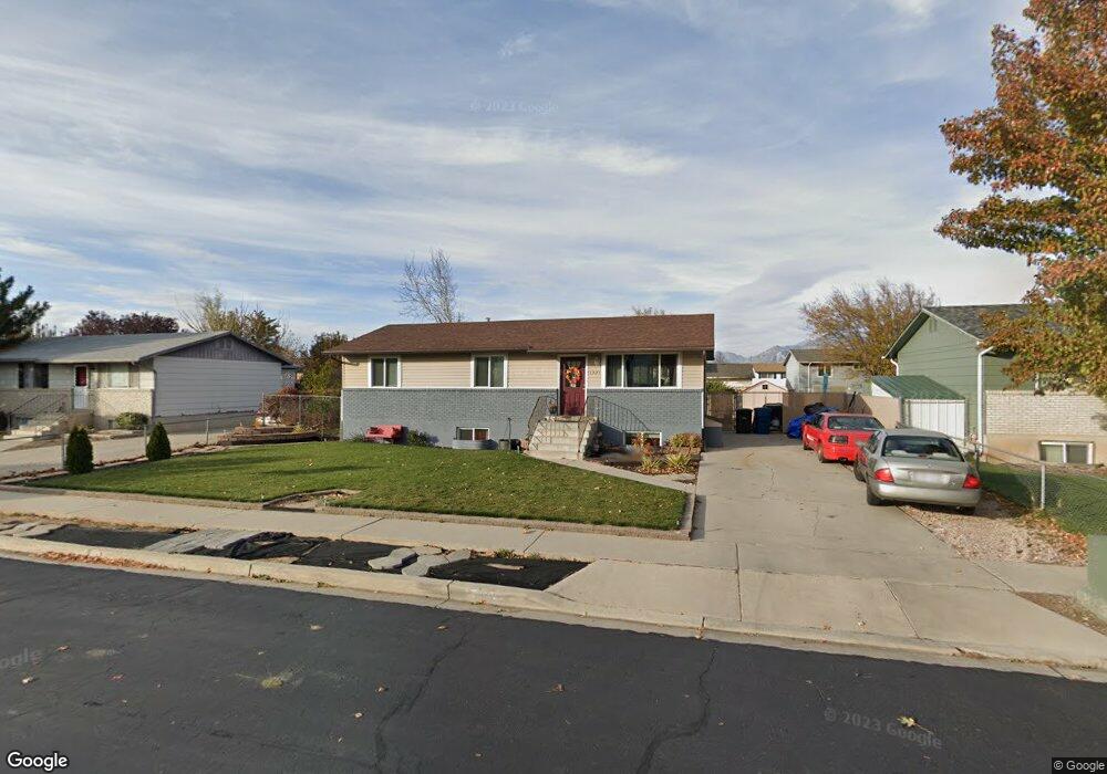
1325 E 550 S Spanish Fork, UT 84660
Estimated Value: $448,435 - $467,000
3
Beds
1
Bath
2,160
Sq Ft
$212/Sq Ft
Est. Value
About This Home
This home is located at 1325 E 550 S, Spanish Fork, UT 84660 and is currently estimated at $457,609, approximately $211 per square foot. 1325 E 550 S is a home located in Utah County with nearby schools including Larsen Elementary School, Spanish Fork Jr High School, and Diamond Fork Junior High School.
Ownership History
Date
Name
Owned For
Owner Type
Purchase Details
Closed on
Aug 22, 2014
Sold by
Delgado Maria C
Bought by
Delgado Maria
Current Estimated Value
Home Financials for this Owner
Home Financials are based on the most recent Mortgage that was taken out on this home.
Original Mortgage
$90,965
Outstanding Balance
$69,158
Interest Rate
4.11%
Mortgage Type
New Conventional
Estimated Equity
$388,451
Purchase Details
Closed on
Apr 29, 1997
Sold by
Warr Wayne A
Bought by
Delgado Maria C and Delgado Santti P
Home Financials for this Owner
Home Financials are based on the most recent Mortgage that was taken out on this home.
Original Mortgage
$107,535
Interest Rate
7.96%
Mortgage Type
FHA
Create a Home Valuation Report for This Property
The Home Valuation Report is an in-depth analysis detailing your home's value as well as a comparison with similar homes in the area
Home Values in the Area
Average Home Value in this Area
Purchase History
| Date | Buyer | Sale Price | Title Company |
|---|---|---|---|
| Delgado Maria | -- | Sutherland Title Co | |
| Delgado Maria | -- | Sutherland Title Co | |
| Delgado Maria C | -- | -- |
Source: Public Records
Mortgage History
| Date | Status | Borrower | Loan Amount |
|---|---|---|---|
| Open | Delgado Maria | $90,965 | |
| Closed | Delgado Maria C | $107,535 |
Source: Public Records
Tax History Compared to Growth
Tax History
| Year | Tax Paid | Tax Assessment Tax Assessment Total Assessment is a certain percentage of the fair market value that is determined by local assessors to be the total taxable value of land and additions on the property. | Land | Improvement |
|---|---|---|---|---|
| 2025 | $1,989 | $228,470 | $149,700 | $265,700 |
| 2024 | $1,989 | $205,040 | $0 | $0 |
| 2023 | $1,990 | $205,370 | $0 | $0 |
| 2022 | $1,997 | $202,070 | $0 | $0 |
| 2021 | $1,710 | $276,900 | $89,400 | $187,500 |
| 2020 | $1,570 | $247,200 | $81,300 | $165,900 |
| 2019 | $1,380 | $228,500 | $74,500 | $154,000 |
| 2018 | $1,259 | $201,600 | $67,700 | $133,900 |
| 2017 | $1,200 | $103,235 | $0 | $0 |
| 2016 | $1,054 | $89,485 | $0 | $0 |
| 2015 | $1,001 | $83,985 | $0 | $0 |
| 2014 | $984 | $82,830 | $0 | $0 |
Source: Public Records
Map
Nearby Homes
- 1222 E 500 S
- 2998 Canyon Dr Unit 333
- 3014 Canyon Dr Unit 332
- 228 E 800 S Unit 131
- Aaron Plan at River Point
- Addison Plan at River Point
- Emmet Plan at River Point
- 665 S 1040 E
- 762 S 1360 E
- 762 S 1360 E Unit 25
- 789 S 1300 E
- 3687 E 1270 S
- 815 S 1300 E Unit 34
- 815 S 1300 E
- 896 E 740 S
- 857 S 1300 E Unit 32
- 857 S 1300 E
- 832 S 1430 E
- 246 E 860 S Unit 162
- 232 E 860 S Unit 158