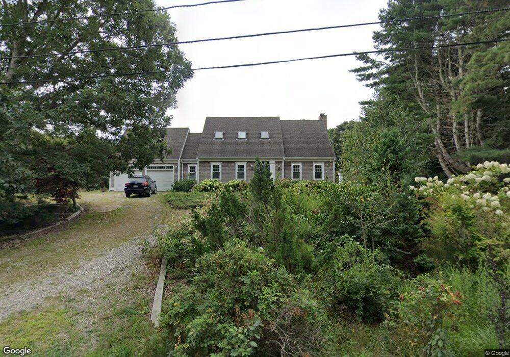
1325 Herring Brook Rd Eastham, MA 02642
Estimated Value: $1,008,000 - $1,702,000
3
Beds
3
Baths
2,026
Sq Ft
$687/Sq Ft
Est. Value
About This Home
This home is located at 1325 Herring Brook Rd, Eastham, MA 02642 and is currently estimated at $1,392,866, approximately $687 per square foot. 1325 Herring Brook Rd is a home located in Barnstable County with nearby schools including Eastham Elementary School, Nauset Regional Middle School, and Nauset Regional High School.
Ownership History
Date
Name
Owned For
Owner Type
Purchase Details
Closed on
Oct 30, 2017
Sold by
Reynolds Eileen W and Meade Reynolds F
Bought by
E & M Reynols Ft
Current Estimated Value
Purchase Details
Closed on
Oct 26, 2017
Sold by
Reynolds Eileen W and Meade Reynolds F
Bought by
E & M Reynols Ft
Purchase Details
Closed on
May 30, 1975
Bought by
Reynolds F Meade and Reynolds Eileen W
Create a Home Valuation Report for This Property
The Home Valuation Report is an in-depth analysis detailing your home's value as well as a comparison with similar homes in the area
Home Values in the Area
Average Home Value in this Area
Purchase History
| Date | Buyer | Sale Price | Title Company |
|---|---|---|---|
| E & M Reynols Ft | -- | -- | |
| E & M Reynols Ft | -- | -- | |
| Reynolds F Meade | -- | -- |
Source: Public Records
Tax History
| Year | Tax Paid | Tax Assessment Tax Assessment Total Assessment is a certain percentage of the fair market value that is determined by local assessors to be the total taxable value of land and additions on the property. | Land | Improvement |
|---|---|---|---|---|
| 2025 | $10,378 | $1,346,000 | $571,300 | $774,700 |
| 2024 | $9,215 | $1,314,500 | $554,600 | $759,900 |
| 2023 | $8,561 | $1,182,400 | $513,600 | $668,800 |
| 2022 | $8,072 | $940,800 | $458,500 | $482,300 |
| 2021 | $4,703 | $859,600 | $416,800 | $442,800 |
| 2020 | $7,360 | $844,000 | $425,400 | $418,600 |
| 2019 | $6,797 | $823,900 | $413,000 | $410,900 |
| 2018 | $2,350 | $784,100 | $380,900 | $403,200 |
| 2017 | $6,104 | $772,700 | $373,400 | $399,300 |
| 2016 | $5,151 | $692,300 | $314,500 | $377,800 |
| 2015 | $4,821 | $679,000 | $308,300 | $370,700 |
Source: Public Records
Map
Nearby Homes
- 600 Kingsbury Beach Rd
- 10 Cartway N
- 21 Locust Rd Unit 21
- 2705 State Hwy
- 2705 State Hwy Unit 1-8
- 82 Old Orchard Rd
- 85 Huckleberry Ln
- 255 Massasoit Rd
- 55 Grandfathers Way
- 300 School House Rd
- 10 Bradford Ln
- 70 Deerfield Ln
- 330 Hay Rd
- 40 Bayview Rd
- 25 Forrest Ave
- 20 Oak Rd
- 315 Candlewood Dr
- 1061 State Hwy Unit 4
- 1061 State Hwy Unit 1061
- 60 Smith Heights Way
- 5 Bridge Pond Dr
- 15 Bridge Pond Dr
- 10 Bridge Pond Dr
- 25 Bridge Pond Dr
- 20 Bridge Pond Dr
- 1205 Herring Brook Rd
- 45 Bowline Ln
- 5 Billingsgate Ave
- 1200 Herring Brook Rd
- 30 Bridge Pond Dr
- 35 Bridge Pond Dr
- 15 Billingsgate Ave
- 1175 Herring Brook Rd
- 40 Bridge Pond Dr
- 35 Bowline Ln
- 45 Bridge Pond Dr
- 25 Billingsgate Ave
- 1180 Herring Brook Rd
- 10 Billingsgate Ave
- 100 Cole Rd
Your Personal Tour Guide
Ask me questions while you tour the home.