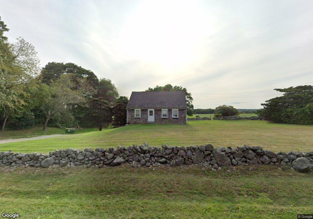
1325 Main Rd Westport, MA 02790
Westport Point NeighborhoodEstimated Value: $519,957 - $750,000
3
Beds
--
Bath
1,593
Sq Ft
$370/Sq Ft
Est. Value
About This Home
This home is located at 1325 Main Rd, Westport, MA 02790 and is currently estimated at $588,739, approximately $369 per square foot. 1325 Main Rd is a home located in Bristol County with nearby schools including Alice A. Macomber Primary School, Westport Elementary School, and Westport Middle-High School.
Ownership History
Date
Name
Owned For
Owner Type
Purchase Details
Closed on
May 13, 2021
Sold by
Santos John A
Bought by
Santos Arthur D and Santos Norman B
Current Estimated Value
Purchase Details
Closed on
Mar 12, 2015
Sold by
Santos John A Jr Est
Bought by
Santos 3Rd John A and Santos Norman B
Purchase Details
Closed on
Nov 25, 2014
Sold by
Santos John A Jr Est
Bought by
Santos 3Rd John A and Santos Arthur D
Create a Home Valuation Report for This Property
The Home Valuation Report is an in-depth analysis detailing your home's value as well as a comparison with similar homes in the area
Home Values in the Area
Average Home Value in this Area
Purchase History
| Date | Buyer | Sale Price | Title Company |
|---|---|---|---|
| Santos Arthur D | -- | None Available | |
| Santos 3Rd John A | -- | -- | |
| Santos 3Rd John A | -- | -- |
Source: Public Records
Tax History Compared to Growth
Tax History
| Year | Tax Paid | Tax Assessment Tax Assessment Total Assessment is a certain percentage of the fair market value that is determined by local assessors to be the total taxable value of land and additions on the property. | Land | Improvement |
|---|---|---|---|---|
| 2025 | $2,830 | $379,900 | $212,100 | $167,800 |
| 2024 | $2,789 | $360,800 | $196,500 | $164,300 |
| 2023 | $2,685 | $329,100 | $174,300 | $154,800 |
| 2022 | $2,593 | $305,800 | $174,300 | $131,500 |
| 2021 | $2,499 | $289,900 | $158,400 | $131,500 |
| 2020 | $6,006 | $283,600 | $152,100 | $131,500 |
| 2019 | $18 | $280,800 | $152,100 | $128,700 |
| 2018 | $3,154 | $264,600 | $172,300 | $92,300 |
| 2017 | $2,122 | $266,300 | $172,300 | $94,000 |
| 2016 | $2,106 | $266,300 | $172,300 | $94,000 |
| 2015 | $2,084 | $262,800 | $172,300 | $90,500 |
Source: Public Records
Map
Nearby Homes
- 1346 Main Rd Unit B
- 1580 Main Rd
- 101 Adamsville Rd
- 1749 Main Rd
- 17 Quail Trail
- 225 Hixbridge Rd
- 920 Drift Rd
- 837 Main Rd
- 1702J Drift Rd
- 1702 Drift Rd
- 8 Village Way
- 1881 Main Rd
- 7 Village Way
- 15 Village Way
- 99 Sylvia Ln
- 245 John Dyer Rd
- 19 Seabury Ln
- 116 Amy Hart Path
- 184 Field Stone Ln
- 255 John Dyer Rd
- 1335 Main Rd Unit 1337
- 1346D Main Rd
- 1309 Main Rd
- 1332 Main Rd
- 1320 Main Rd
- 1338 Main Rd
- 1345 Main Rd
- 1344 Main Rd
- 1351 Main Rd
- 1286 Main Rd
- 1346 Main Rd Unit 1A
- 1346 Main Rd Unit 11
- 1346 Main Rd Unit I
- 1346 Main Rd Unit D
- 1346 Main Rd Unit C
- 1346 Main Rd Unit K
- 1346 Main Rd Unit J
- 1346 Main Rd Unit A
- 1346 Main Rd Unit A 1
- 1346 Main Rd Unit 9