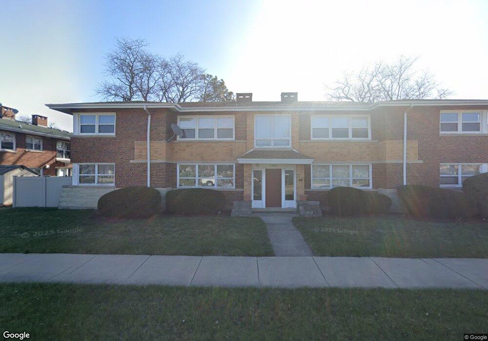
1325 S Mannheim Rd Unit 2S Westchester, IL 60154
Estimated Value: $197,000 - $211,000
2
Beds
2
Baths
1,200
Sq Ft
$169/Sq Ft
Est. Value
About This Home
This home is located at 1325 S Mannheim Rd Unit 2S, Westchester, IL 60154 and is currently estimated at $203,328, approximately $169 per square foot. 1325 S Mannheim Rd Unit 2S is a home located in Cook County with nearby schools including Westchester Primary School, Westchester Intermediate School, and Westchester Middle School.
Ownership History
Date
Name
Owned For
Owner Type
Purchase Details
Closed on
Jul 10, 2019
Sold by
Woods Darrel A and Woods Darrell A
Bought by
Blig Ovidiu and Blig Daniela
Current Estimated Value
Purchase Details
Closed on
Mar 22, 2002
Sold by
Pogue Pamela G
Bought by
Woods Darrel A
Create a Home Valuation Report for This Property
The Home Valuation Report is an in-depth analysis detailing your home's value as well as a comparison with similar homes in the area
Home Values in the Area
Average Home Value in this Area
Purchase History
| Date | Buyer | Sale Price | Title Company |
|---|---|---|---|
| Blig Ovidiu | $130,000 | Stewart Title | |
| Woods Darrel A | $109,000 | Stewart Title |
Source: Public Records
Mortgage History
| Date | Status | Borrower | Loan Amount |
|---|---|---|---|
| Closed | Woods Darrel A | $0 |
Source: Public Records
Tax History Compared to Growth
Tax History
| Year | Tax Paid | Tax Assessment Tax Assessment Total Assessment is a certain percentage of the fair market value that is determined by local assessors to be the total taxable value of land and additions on the property. | Land | Improvement |
|---|---|---|---|---|
| 2024 | $3,821 | $14,561 | $2,188 | $12,373 |
| 2023 | $3,570 | $14,561 | $2,188 | $12,373 |
| 2022 | $3,570 | $11,705 | $1,797 | $9,908 |
| 2021 | $3,456 | $11,703 | $1,796 | $9,907 |
| 2020 | $3,377 | $11,703 | $1,796 | $9,907 |
| 2019 | $2,048 | $10,680 | $1,640 | $9,040 |
| 2018 | $2,020 | $10,680 | $1,640 | $9,040 |
| 2017 | $1,998 | $10,680 | $1,640 | $9,040 |
| 2016 | $2,581 | $11,346 | $1,484 | $9,862 |
| 2015 | $2,511 | $11,346 | $1,484 | $9,862 |
| 2014 | $2,469 | $11,346 | $1,484 | $9,862 |
| 2013 | $2,463 | $12,428 | $1,484 | $10,944 |
Source: Public Records
Map
Nearby Homes
- 1247 S Mannheim Rd Unit 3
- 10524 Camelot St
- 10531 Camelot St
- 10072 Drury Ln
- 10567 Waterford Dr
- 1119 Newcastle Ave
- 723 Balmoral Ave
- 920 Suffolk Ave
- 1811 Downing Ave
- 814 Norfolk Ave
- 1500 Bristol Ave
- 1433 Bristol Ave
- 1860 Buckingham Ave
- 1136 Park Place
- 805 Norfolk Ave
- 923 Manchester Ave
- 1623 Manchester Ave
- 1932 Newcastle Ave
- 1601 Bristol Ave
- 1102 Marshall Ave
- 1325 S Mannheim Rd Unit 1N
- 1325 S Mannheim Rd Unit 1S
- 1325 S Mannheim Rd Unit 2N
- 10351 Cambridge St Unit 2G
- 10351 Cambridge St Unit G2
- 10351 Cambridge St Unit 2E
- 10350 Kipling St
- 10342 Kipling St
- 10343 Cambridge St
- 10330 Kipling St
- 10350 Cambridge St Unit 4
- 10351 Kipling St
- 1243 S Mannheim Rd Unit 1
- 1245 S Mannheim Rd Unit 2
- 10329 Cambridge St
- 10326 Kipling St
- 10326 Kipling St
- 10342 Cambridge St
- 10343 Kipling St