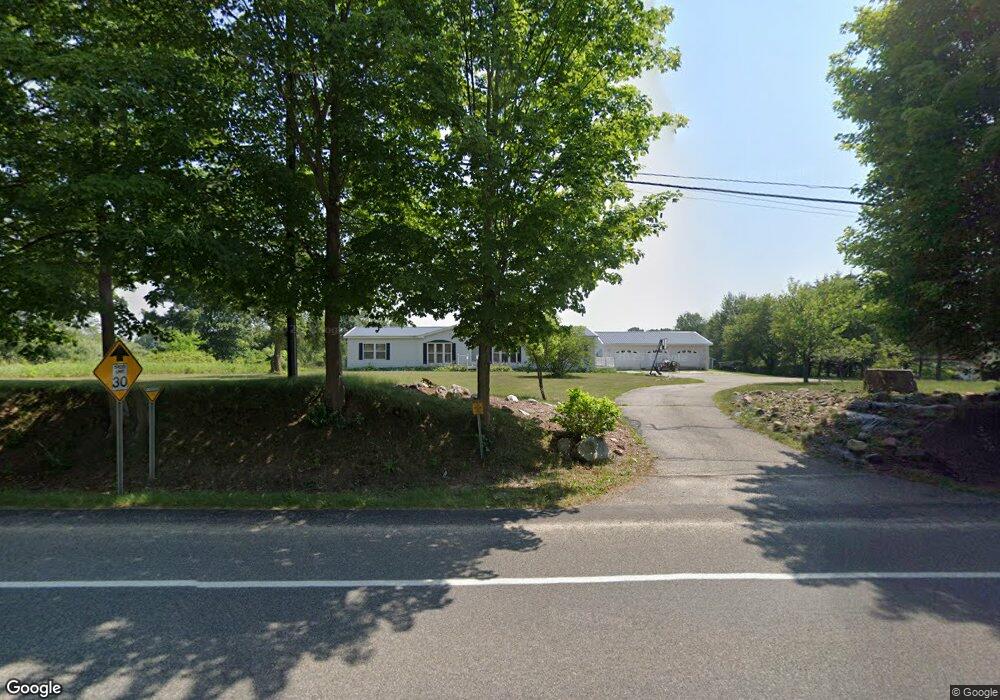
1325 W Stanton Rd Stanton, MI 48888
Estimated Value: $102,000 - $239,000
3
Beds
2
Baths
1,836
Sq Ft
$102/Sq Ft
Est. Value
About This Home
This home is located at 1325 W Stanton Rd, Stanton, MI 48888 and is currently estimated at $187,344, approximately $102 per square foot. 1325 W Stanton Rd is a home located in Montcalm County with nearby schools including Central Montcalm Elementary School, Central Montcalm Upper Elementary School, and Central Montcalm Middle School.
Ownership History
Date
Name
Owned For
Owner Type
Purchase Details
Closed on
Feb 27, 2013
Sold by
Maxson Mary Ann
Bought by
Maxson Michael D
Current Estimated Value
Purchase Details
Closed on
Jul 23, 2008
Sold by
Maxson Michael D and Mary Ann
Bought by
Maxson Michael D
Purchase Details
Closed on
Apr 26, 2003
Sold by
Raines Veldra D and Raines Sandra M
Bought by
Maxson Michael D and Mary Ann
Purchase Details
Closed on
Sep 24, 1999
Sold by
Raines Sandra M
Bought by
Raines Veldra D and Raines Sandra M
Purchase Details
Closed on
Mar 19, 1999
Sold by
Chapin Stephen and Chapin Marilyn
Bought by
Peterman Sandra M
Purchase Details
Closed on
Mar 9, 1999
Sold by
Chapin Stephen D and Chapin Marilyn L
Bought by
Raines Sandra M
Create a Home Valuation Report for This Property
The Home Valuation Report is an in-depth analysis detailing your home's value as well as a comparison with similar homes in the area
Home Values in the Area
Average Home Value in this Area
Purchase History
| Date | Buyer | Sale Price | Title Company |
|---|---|---|---|
| Maxson Michael D | -- | None Available | |
| Maxson Michael D | -- | -- | |
| Maxson Michael D | $128,000 | -- | |
| Raines Veldra D | -- | -- | |
| Peterman Sandra M | $5,000 | -- | |
| Raines Sandra M | $5,000 | -- |
Source: Public Records
Tax History Compared to Growth
Tax History
| Year | Tax Paid | Tax Assessment Tax Assessment Total Assessment is a certain percentage of the fair market value that is determined by local assessors to be the total taxable value of land and additions on the property. | Land | Improvement |
|---|---|---|---|---|
| 2025 | $918 | $67,300 | $0 | $0 |
| 2024 | $1,020 | $51,900 | $0 | $0 |
| 2023 | -- | $46,500 | $0 | $0 |
| 2022 | -- | $40,000 | $0 | $0 |
| 2021 | -- | $42,700 | $0 | $0 |
| 2020 | -- | -- | $0 | $0 |
| 2019 | -- | -- | $0 | $0 |
| 2018 | -- | -- | $0 | $0 |
| 2017 | -- | -- | $0 | $0 |
| 2016 | -- | -- | $0 | $0 |
| 2015 | -- | -- | $0 | $0 |
| 2014 | -- | -- | $0 | $0 |
Source: Public Records
Map
Nearby Homes
- 2-V/L W Stanton Rd
- 430 W Main St
- 340 W Main St
- 224 S Camburn St
- 126 S Lincoln St
- 318 E Bellevue St
- V/L Mcpherson St
- 319 N Mcpherson St
- VL S Grove Lot 3 St
- 215 N New St
- V/L Lot 5 S State St
- 1361 S Derby Rd
- 4045 W Stanton Rd
- 3737 E Shore Dr
- 1034 Thompson St SW
- 336 Penny Ln
- 3862 E Shore Dr
- Lot 215 E Shore Dr
- 218 Westshore St
- 901 Half Moon Lake Dr SW
- 1351 W Stanton Rd
- 1239 W Stanton Rd
- 1360 W Stanton Rd
- 1521 W Stanton Rd
- 1529 W Stanton Rd
- 1531 W Stanton Rd
- 1130 W Stanton Rd
- 702 W Stanton Rd
- 1347 W Stanton Rd
- 1119 W Stanton Rd
- 1571 W Stanton Rd
- 680 W Stanton Rd
- 1320 W Stanton Rd
- 1338 W Spencer Rd
- 617 W Main St
- 650 W Main St
- 50 S Brown Rd
- 70 S Brown Rd
- 70 S Brown Rd
- 224 S Brown Rd