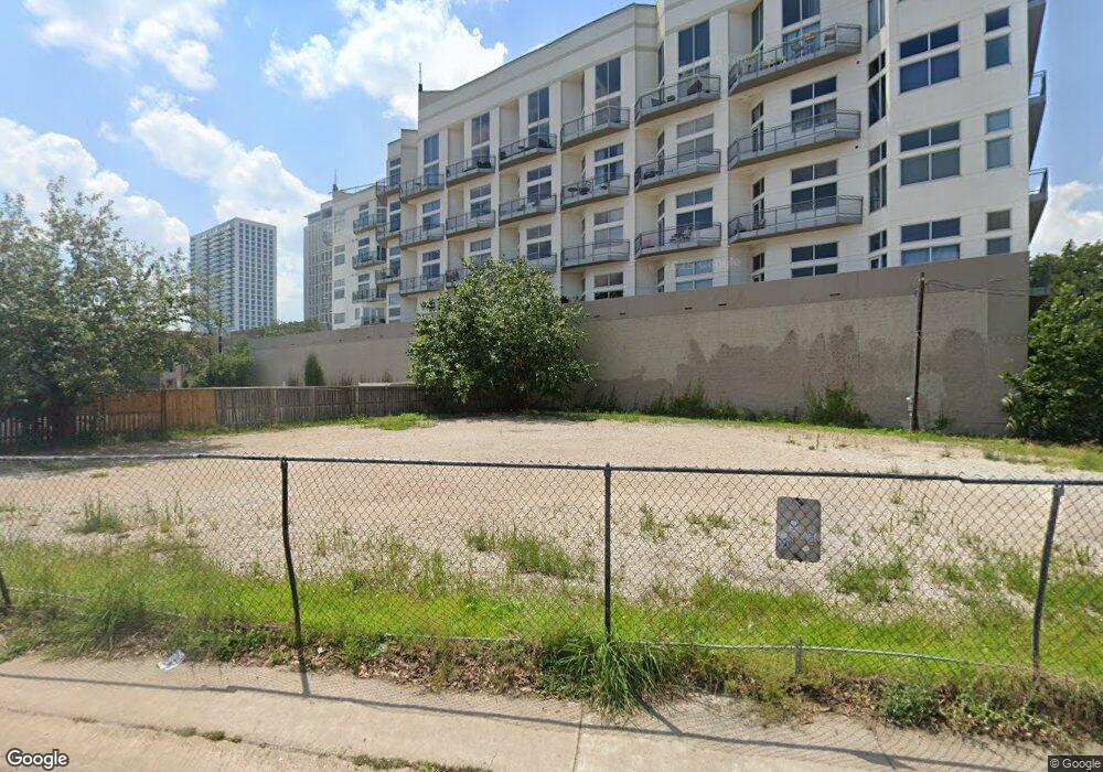
1325 Westheimer Rd Houston, TX 77006
Montrose Neighborhood
--
Bed
--
Bath
1,862
Sq Ft
9,583
Sq Ft Lot
About This Home
This home is located at 1325 Westheimer Rd, Houston, TX 77006. 1325 Westheimer Rd is a home located in Harris County with nearby schools including Baker Montessori, Lanier Middle School, and Lamar High School.
Ownership History
Date
Name
Owned For
Owner Type
Purchase Details
Closed on
Jul 1, 2009
Sold by
Tremont Plaza Inc
Bought by
Mangum Plaza Llc
Purchase Details
Closed on
Jan 14, 2002
Sold by
Regency Oil Services Inc
Bought by
Tremont Plaza Inc
Home Financials for this Owner
Home Financials are based on the most recent Mortgage that was taken out on this home.
Original Mortgage
$344,000
Interest Rate
6.8%
Mortgage Type
Purchase Money Mortgage
Create a Home Valuation Report for This Property
The Home Valuation Report is an in-depth analysis detailing your home's value as well as a comparison with similar homes in the area
Home Values in the Area
Average Home Value in this Area
Purchase History
| Date | Buyer | Sale Price | Title Company |
|---|---|---|---|
| Mangum Plaza Llc | -- | Texas American Title Company | |
| Tremont Plaza Inc | -- | Texas American Title Company |
Source: Public Records
Mortgage History
| Date | Status | Borrower | Loan Amount |
|---|---|---|---|
| Previous Owner | Tremont Plaza Inc | $344,000 |
Source: Public Records
Tax History Compared to Growth
Tax History
| Year | Tax Paid | Tax Assessment Tax Assessment Total Assessment is a certain percentage of the fair market value that is determined by local assessors to be the total taxable value of land and additions on the property. | Land | Improvement |
|---|---|---|---|---|
| 2025 | $20,682 | $988,182 | $980,100 | $8,082 |
| 2024 | $20,682 | $988,466 | $980,100 | $8,366 |
| 2023 | $20,682 | $988,999 | $980,100 | $8,899 |
| 2022 | $21,763 | $988,358 | $980,100 | $8,258 |
| 2021 | $23,013 | $987,422 | $980,100 | $7,322 |
| 2020 | $23,734 | $980,100 | $980,100 | $0 |
| 2019 | $21,081 | $833,085 | $833,085 | $0 |
| 2018 | $19,841 | $833,085 | $833,085 | $0 |
| 2017 | $20,806 | $784,080 | $784,080 | $0 |
| 2016 | $22,106 | $833,085 | $833,085 | $0 |
| 2015 | $16,898 | $637,065 | $637,065 | $0 |
| 2014 | $16,898 | $626,872 | $626,872 | $0 |
Source: Public Records
Map
Nearby Homes
- 3311 Yupon St Unit 611
- 3311 Yupon St Unit 519
- 1621 California St
- 2516 Commonwealth St Unit 102
- 3403 Yupon St
- 1515 Hyde Park Blvd Unit 1
- 1621 Cherryhurst St
- 1101 Hawthorne St
- 1621 Haver St
- 3515 Yupon St
- 1709 Haver St
- 3540 Yupon St
- 2403 Commonwealth St
- 1539 Westheimer Rd
- 2410 Waugh Dr Unit 4C
- 2410 Waugh Dr Unit 3
- 1503 Harold St
- 1316 Hyde Park Blvd
- 2407 Waugh Dr
- 1406 Fairview Ave
- 1318 Westheimer Rd
- 1322 Westheimer Rd
- 1330 Westheimer Rd
- 1330 Westheimer Rd Unit 4
- 1507 California St
- 1507 California St Unit 17
- 1507 California St Unit 11
- 1507 California St Unit 7
- 1507 California St Unit 15
- 1507 California St Unit 14
- 1507 California St Unit 16
- 1507 California St Unit 12
- 1507 California St Unit 1
- 1507 California St Unit 18
- 1507 California St Unit 10
- 1507 California St Unit 5
- 1507 California St
- 1507 California St Unit 13
- 1511 California St
- 2711 Yupon St