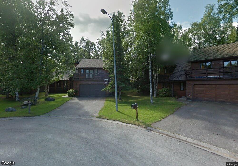
13251 Sean Cir Anchorage, AK 99516
Huffman-O'Malley NeighborhoodEstimated Value: $434,000 - $592,520
4
Beds
3
Baths
2,404
Sq Ft
$222/Sq Ft
Est. Value
About This Home
This home is located at 13251 Sean Cir, Anchorage, AK 99516 and is currently estimated at $532,840, approximately $221 per square foot. 13251 Sean Cir is a home located in Anchorage Municipality with nearby schools including Rabbit Creek Elementary School, Goldenview Middle School, and South Anchorage High School.
Ownership History
Date
Name
Owned For
Owner Type
Purchase Details
Closed on
Jun 16, 2006
Sold by
Woerner Therron C and Webber Callie L
Bought by
Woerner Therron C and Webber Callie L
Current Estimated Value
Purchase Details
Closed on
Mar 9, 2004
Sold by
Wagner Mitchell T and Wagner Tamara B
Bought by
Woerner Therron C and Webber Callie L
Home Financials for this Owner
Home Financials are based on the most recent Mortgage that was taken out on this home.
Original Mortgage
$256,500
Interest Rate
5.65%
Mortgage Type
Purchase Money Mortgage
Create a Home Valuation Report for This Property
The Home Valuation Report is an in-depth analysis detailing your home's value as well as a comparison with similar homes in the area
Home Values in the Area
Average Home Value in this Area
Purchase History
| Date | Buyer | Sale Price | Title Company |
|---|---|---|---|
| Woerner Therron C | -- | None Available | |
| Woerner Therron C | -- | -- |
Source: Public Records
Mortgage History
| Date | Status | Borrower | Loan Amount |
|---|---|---|---|
| Previous Owner | Woerner Therron C | $256,500 |
Source: Public Records
Tax History Compared to Growth
Tax History
| Year | Tax Paid | Tax Assessment Tax Assessment Total Assessment is a certain percentage of the fair market value that is determined by local assessors to be the total taxable value of land and additions on the property. | Land | Improvement |
|---|---|---|---|---|
| 2025 | $6,865 | $532,000 | $113,900 | $418,100 |
| 2024 | $6,865 | $500,200 | $113,900 | $386,300 |
| 2023 | $7,866 | $461,900 | $113,900 | $348,000 |
| 2022 | $6,428 | $431,700 | $113,900 | $317,800 |
| 2021 | $7,475 | $414,800 | $113,900 | $300,900 |
| 2020 | $6,144 | $411,700 | $113,900 | $297,800 |
| 2019 | $5,903 | $410,800 | $113,900 | $296,900 |
| 2018 | $6,503 | $396,500 | $113,900 | $282,600 |
| 2017 | $6,158 | $393,200 | $113,900 | $279,300 |
| 2016 | $5,748 | $422,100 | $113,900 | $308,200 |
| 2015 | $5,748 | $399,300 | $113,900 | $285,400 |
| 2014 | $5,748 | $390,800 | $119,900 | $270,900 |
Source: Public Records
Map
Nearby Homes
- 13530 Westwind Dr
- 2701 Kempton Hills Dr
- 13481 Baywind Dr
- 2020 Steeple Dr
- 13540 Seachant Cir
- 2000 Jarvis Ave
- 13105 Stephenson St
- 3040 Chesapeake Cir
- 13322 Diggins Dr
- 2048 Meander Dr
- 14121 Sunview Dr
- 14231 Hancock Dr
- 2521 Winterchase Cir
- 13351 Venus Way
- 12283 Timberwood Cir
- 2940 E 142nd Ave
- 13901 Jarvi Dr
- 13103 Brandon St Unit 14
- 3025 Huffman Rd
- 12241 Gander St