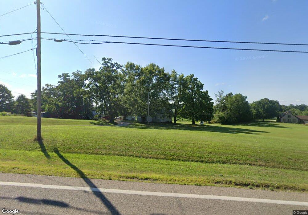
13252 Millersburg Rd SW Massillon, OH 44647
Estimated Value: $98,458 - $221,000
--
Bed
--
Bath
--
Sq Ft
0.4
Acres
About This Home
This home is located at 13252 Millersburg Rd SW, Massillon, OH 44647 and is currently estimated at $169,365. 13252 Millersburg Rd SW is a home located in Stark County with nearby schools including Tuslaw Elementary School, Tuslaw Middle School, and Tuslaw High School.
Ownership History
Date
Name
Owned For
Owner Type
Purchase Details
Closed on
Oct 10, 2019
Sold by
Carpenter Gloria D
Bought by
U S Bank National Association Nd
Current Estimated Value
Purchase Details
Closed on
Oct 8, 1999
Sold by
Barnett Ruth I
Bought by
Carpenter Donald L and Carpenter Gloria D
Home Financials for this Owner
Home Financials are based on the most recent Mortgage that was taken out on this home.
Original Mortgage
$74,400
Interest Rate
7.83%
Purchase Details
Closed on
Jan 4, 1994
Create a Home Valuation Report for This Property
The Home Valuation Report is an in-depth analysis detailing your home's value as well as a comparison with similar homes in the area
Home Values in the Area
Average Home Value in this Area
Purchase History
| Date | Buyer | Sale Price | Title Company |
|---|---|---|---|
| U S Bank National Association Nd | $43,880 | None Available | |
| Carpenter Donald L | $84,900 | -- | |
| -- | -- | -- |
Source: Public Records
Mortgage History
| Date | Status | Borrower | Loan Amount |
|---|---|---|---|
| Previous Owner | Carpenter Donald L | $74,400 |
Source: Public Records
Tax History Compared to Growth
Tax History
| Year | Tax Paid | Tax Assessment Tax Assessment Total Assessment is a certain percentage of the fair market value that is determined by local assessors to be the total taxable value of land and additions on the property. | Land | Improvement |
|---|---|---|---|---|
| 2025 | -- | $2,030 | $2,030 | -- |
| 2024 | -- | $2,030 | $2,030 | -- |
| 2023 | $58 | $1,440 | $1,440 | -- |
| 2022 | $58 | $1,440 | $1,440 | $0 |
| 2021 | $59 | $1,440 | $1,440 | $0 |
| 2020 | $50 | $1,160 | $1,160 | $0 |
| 2019 | $48 | $1,160 | $1,160 | $0 |
| 2018 | $48 | $1,160 | $1,160 | $0 |
| 2017 | $55 | $1,260 | $1,260 | $0 |
| 2016 | $56 | $1,260 | $1,260 | $0 |
| 2015 | $56 | $1,260 | $1,260 | $0 |
| 2014 | $56 | $1,190 | $1,190 | $0 |
| 2013 | $28 | $1,190 | $1,190 | $0 |
Source: Public Records
Map
Nearby Homes
- 0 Alabama Rd SW Unit 5104465
- 2480 Deerford Ave SW
- 645 Tuscarawas Ave NW
- 11904 Lochwood St SW
- 1174 Manchester Ave SW
- 1200 Kenyon Ave SW
- 3130 Meadowcrest St NW
- 982 Lanedale St NW
- 2760 Relda Cir SW
- 3056 Bent Creek Cir SW
- 1220 Ben Fulton Ave NW
- 2853 Autumn Ave NW
- 3241 Lincoln Way NW
- 822 32nd St NW
- 14656 Lincoln St
- 2445 Pigeon Run Rd SW
- 383 2nd St SE
- 3130 Lincoln Way W
- 450 Wabash Ave S
- 170 26th St NW
- 13252 Millersburg Rd SW
- 13252 Millersburg Rd SW
- 13252 Millersburg Rd SW
- 13279 Millersburg Rd SW
- 13220 Millersburg Rd SW
- 13261 Millersburg Rd SW
- 13308 Millersburg Rd SW
- 13174 Millersburg Rd SW
- 13325 Stanwood Rd SW
- 13384 Millersburg Rd SW
- 13196 Millersburg Rd SW
- 13196 Millersburg Rd SW
- 13391 Stanwood Rd SW
- 13423 Stanwood Rd SW
- 13340 Millersburg Rd SW
- 13100 Millersburg Rd SW
- 13115 Millersburg Rd SW
- 13424 Millersburg Rd SW
- 13477 Millersburg Rd SW
- 13081 Millersburg Rd SW