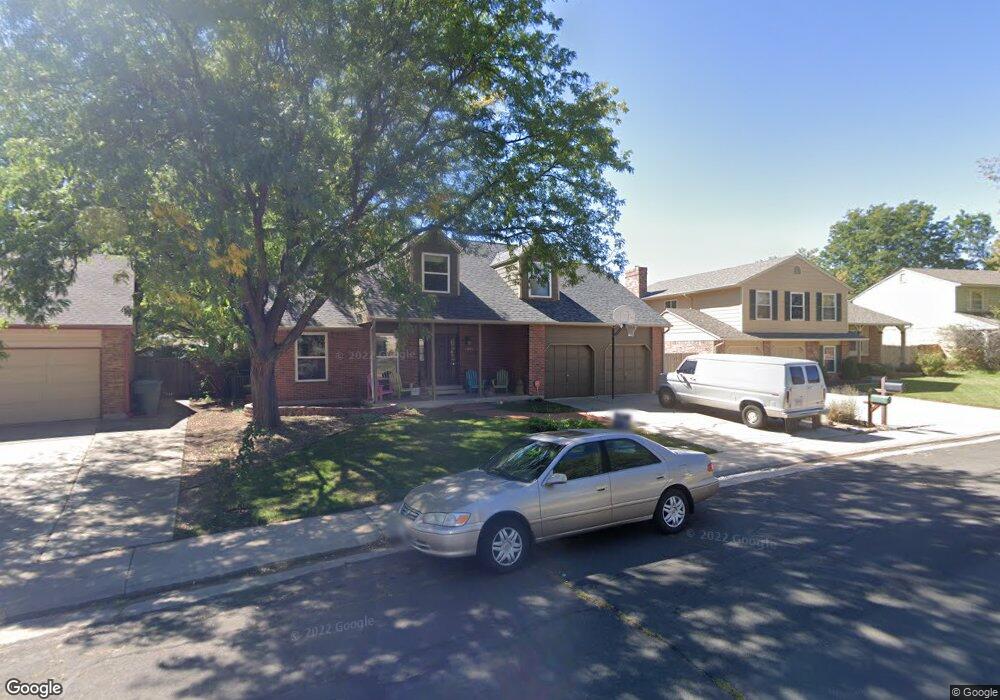
13253 Monroe Way Thornton, CO 80241
Estimated Value: $574,812 - $628,000
3
Beds
4
Baths
2,744
Sq Ft
$219/Sq Ft
Est. Value
About This Home
This home is located at 13253 Monroe Way, Thornton, CO 80241 and is currently estimated at $602,203, approximately $219 per square foot. 13253 Monroe Way is a home located in Adams County with nearby schools including Tarver Elementary School, Century Middle School, and Horizon High School.
Ownership History
Date
Name
Owned For
Owner Type
Purchase Details
Closed on
May 27, 2016
Sold by
Sullivan Terry F and Sullivan Paula
Bought by
Volleberg Matthew and Volleberg Brandie
Current Estimated Value
Home Financials for this Owner
Home Financials are based on the most recent Mortgage that was taken out on this home.
Original Mortgage
$280,000
Outstanding Balance
$222,994
Interest Rate
3.59%
Mortgage Type
New Conventional
Estimated Equity
$379,209
Create a Home Valuation Report for This Property
The Home Valuation Report is an in-depth analysis detailing your home's value as well as a comparison with similar homes in the area
Home Values in the Area
Average Home Value in this Area
Purchase History
| Date | Buyer | Sale Price | Title Company |
|---|---|---|---|
| Volleberg Matthew | $350,000 | First American Title |
Source: Public Records
Mortgage History
| Date | Status | Borrower | Loan Amount |
|---|---|---|---|
| Open | Volleberg Matthew | $280,000 |
Source: Public Records
Tax History Compared to Growth
Tax History
| Year | Tax Paid | Tax Assessment Tax Assessment Total Assessment is a certain percentage of the fair market value that is determined by local assessors to be the total taxable value of land and additions on the property. | Land | Improvement |
|---|---|---|---|---|
| 2024 | $3,831 | $35,880 | $6,880 | $29,000 |
| 2023 | $3,792 | $40,730 | $6,900 | $33,830 |
| 2022 | $3,187 | $28,000 | $7,090 | $20,910 |
| 2021 | $3,187 | $28,000 | $7,090 | $20,910 |
| 2020 | $3,297 | $29,550 | $7,290 | $22,260 |
| 2019 | $3,303 | $29,550 | $7,290 | $22,260 |
| 2018 | $3,068 | $26,660 | $7,200 | $19,460 |
| 2017 | $2,789 | $26,660 | $7,200 | $19,460 |
| 2016 | $2,112 | $19,650 | $4,140 | $15,510 |
| 2015 | $2,109 | $19,650 | $4,140 | $15,510 |
| 2014 | $2,005 | $18,160 | $3,340 | $14,820 |
Source: Public Records
Map
Nearby Homes
- 13080 Harrison Dr
- 13068 Harrison Dr
- 3007 E 131st Way
- 12814 Jackson Cir
- 3850 E 128th Way
- 2788 E 132nd Cir
- 13540 Detroit St
- 13022 Bellaire St
- 2691 E 132nd Ave
- 13263 Clermont Cir
- 13346 Birch Cir
- 2746 E 132nd Place
- 12865 Clermont St
- 12943 Dexter Way
- 13606 Garfield St Unit E
- 3802 E 127th Ln
- 8346 E 135th Ct
- 12711 Colorado Blvd Unit 914
- 12711 Colorado Blvd Unit 617F
- 13638 Garfield St Unit B
- 13245 Monroe Way
- 13257 Monroe Way
- 13170 Garfield Dr
- 13237 Monroe Way
- 13230 Monroe Way
- 13265 Monroe Way
- 13160 Garfield Dr
- 13180 Garfield Dr
- 13190 Garfield Dr
- 13150 Garfield Dr
- 13275 Monroe Way
- 13240 Monroe Way
- 13201 Garfield Place
- 13233 Monroe Way
- 13219 Garfield Place
- 13250 Monroe Way
- 13260 Monroe Way
- 13200 Garfield Dr
- 13283 Monroe Way
- 13140 Garfield Dr