13254 Lowery Farris Rd Duncanville, AL 35456
Estimated Value: $297,000 - $382,000
4
Beds
2
Baths
2,319
Sq Ft
$146/Sq Ft
Est. Value
About This Home
This home is located at 13254 Lowery Farris Rd, Duncanville, AL 35456 and is currently estimated at $338,741, approximately $146 per square foot. 13254 Lowery Farris Rd is a home located in Tuscaloosa County with nearby schools including Maxwell Elementary School, Duncanville Middle School, and Hillcrest High School.
Ownership History
Date
Name
Owned For
Owner Type
Purchase Details
Closed on
May 25, 2018
Sold by
Wade Farris
Bought by
Farris Josh
Current Estimated Value
Home Financials for this Owner
Home Financials are based on the most recent Mortgage that was taken out on this home.
Original Mortgage
$204,000
Outstanding Balance
$176,054
Interest Rate
4.5%
Mortgage Type
New Conventional
Estimated Equity
$162,687
Create a Home Valuation Report for This Property
The Home Valuation Report is an in-depth analysis detailing your home's value as well as a comparison with similar homes in the area
Home Values in the Area
Average Home Value in this Area
Purchase History
| Date | Buyer | Sale Price | Title Company |
|---|---|---|---|
| Farris Josh | $240,000 | -- |
Source: Public Records
Mortgage History
| Date | Status | Borrower | Loan Amount |
|---|---|---|---|
| Open | Farris Josh | $204,000 |
Source: Public Records
Tax History Compared to Growth
Tax History
| Year | Tax Paid | Tax Assessment Tax Assessment Total Assessment is a certain percentage of the fair market value that is determined by local assessors to be the total taxable value of land and additions on the property. | Land | Improvement |
|---|---|---|---|---|
| 2024 | $586 | $46,900 | $2,900 | $44,000 |
| 2023 | $586 | $47,900 | $2,900 | $45,000 |
| 2022 | $607 | $48,400 | $2,900 | $45,500 |
| 2021 | $613 | $48,900 | $2,900 | $46,000 |
| 2020 | $507 | $20,490 | $1,450 | $19,040 |
| 2019 | $517 | $20,880 | $1,450 | $19,430 |
| 2018 | $521 | $21,040 | $1,030 | $20,010 |
| 2017 | $502 | $0 | $0 | $0 |
| 2016 | $519 | $0 | $0 | $0 |
| 2015 | $519 | $0 | $0 | $0 |
| 2014 | -- | $19,910 | $1,030 | $18,880 |
Source: Public Records
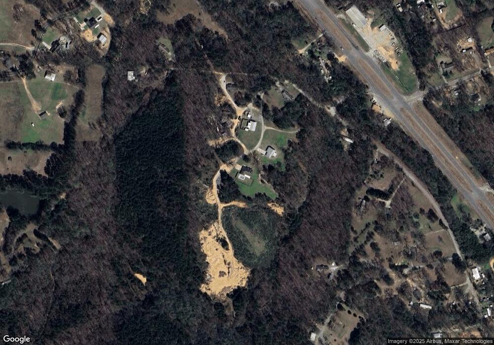
Map
Nearby Homes
- 0000 Daffron Rd
- 0 Daffron Rd Unit 1
- 11690 Southfork Dr
- 13039 Raintree Cir
- 11549 S Fork Place Unit LOT 73
- 3425 Argonne Rd
- 5941 73rd Place E
- 7410 Huntland Ln
- 7440 Huntland Ln
- 7426 Huntland Ln
- 7321 Bradley Rd
- 7424 Wuthering Heights Ln
- 12263 Poole Rd Unit 1
- 3665 Ward Boyd Dr
- 0 Indian Creek Rd
- 7000 Wrigley Way
- 3610 Ward Boyd Dr
- 6663 Cooperstown Cir
- 6300 Golden Acres Dr
- 6551 Ash Hill Dr
- 13209 Lowery Farris Rd
- 13169 Lowery Farris Rd
- 13126 Lowery Farris Rd
- 11549 Lowery Farris Ln
- 11631 Skelton Rd
- 11611 Skelton Rd
- 11119 Highway 82 E
- 11507 Price Rd
- 11510 Skelton Rd
- 11105 Highway 82 E
- 11647 Skelton Rd
- 11087 Highway 82 E
- 11081 Highway 82 E
- 11475 Price Rd
- 11467 Price Rd
- 11708 Daffron Rd
- 11719 Daffron Rd
- 11221 Highway 82 E
- 11527 Price Rd