13254 W 838 Rd Tahlequah, OK 74464
Estimated Value: $15,109 - $230,000
3
Beds
2
Baths
1,056
Sq Ft
$111/Sq Ft
Est. Value
About This Home
This home is located at 13254 W 838 Rd, Tahlequah, OK 74464 and is currently estimated at $117,527, approximately $111 per square foot. 13254 W 838 Rd is a home located in Cherokee County.
Ownership History
Date
Name
Owned For
Owner Type
Purchase Details
Closed on
Jan 10, 2020
Sold by
Parker Kristin
Bought by
Morton Jacee
Current Estimated Value
Home Financials for this Owner
Home Financials are based on the most recent Mortgage that was taken out on this home.
Original Mortgage
$19,959
Interest Rate
3.6%
Mortgage Type
Stand Alone Second
Purchase Details
Closed on
May 14, 2001
Sold by
Cimarron Contractors
Bought by
Pat Morton
Purchase Details
Closed on
Feb 12, 2001
Sold by
Cimarron Contractors
Bought by
Pat Morton
Create a Home Valuation Report for This Property
The Home Valuation Report is an in-depth analysis detailing your home's value as well as a comparison with similar homes in the area
Home Values in the Area
Average Home Value in this Area
Purchase History
| Date | Buyer | Sale Price | Title Company |
|---|---|---|---|
| Morton Jacee | $10,000 | Fidelity National Title Ins | |
| Pat Morton | -- | -- | |
| Pat Morton | $6,000 | -- |
Source: Public Records
Mortgage History
| Date | Status | Borrower | Loan Amount |
|---|---|---|---|
| Previous Owner | Morton Jacee | $19,959 |
Source: Public Records
Tax History Compared to Growth
Tax History
| Year | Tax Paid | Tax Assessment Tax Assessment Total Assessment is a certain percentage of the fair market value that is determined by local assessors to be the total taxable value of land and additions on the property. | Land | Improvement |
|---|---|---|---|---|
| 2025 | $82 | $705 | $482 | $223 |
| 2024 | $82 | $1,032 | $381 | $651 |
| 2023 | $82 | $1,032 | $381 | $651 |
| 2022 | $224 | $2,769 | $381 | $2,388 |
| 2021 | $226 | $2,769 | $381 | $2,388 |
| 2020 | $88 | $1,054 | $381 | $673 |
| 2019 | $254 | $3,066 | $381 | $2,685 |
| 2018 | $268 | $3,203 | $381 | $2,822 |
| 2017 | $113 | $3,334 | $381 | $2,953 |
| 2016 | $142 | $3,682 | $381 | $3,301 |
| 2015 | $142 | $3,682 | $381 | $3,301 |
| 2014 | $142 | $3,706 | $381 | $3,325 |
Source: Public Records
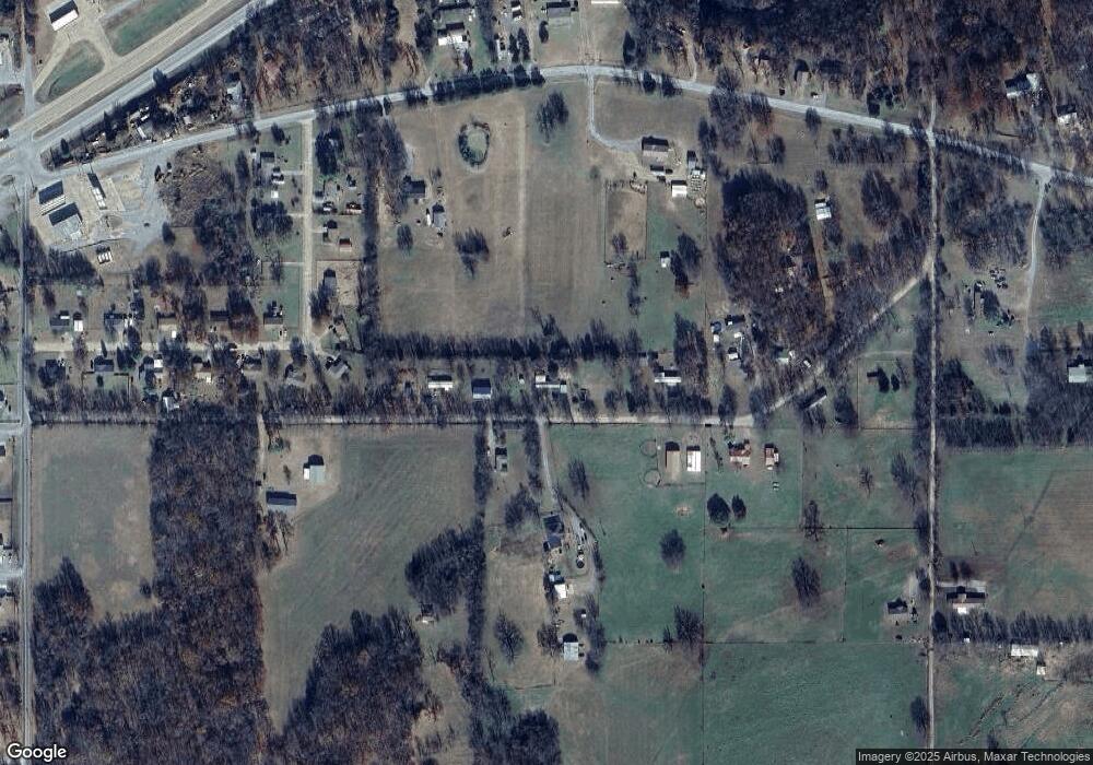
Map
Nearby Homes
- 13670 W 834 Rd
- 0 Hwy 62 Hwy Unit 2532149
- 0 Hwy 62 Hwy Unit 2532139
- 0 Hwy 62 Hwy Unit 2532141
- 0 Hwy 62 Hwy Unit 2532145
- 12910 W Southern Oaks St
- 12890 W Southern Oaks St
- 12219 U S 62
- 14650 W 835 Rd
- 11396 W Joyce Ln
- 24481 S Manard Rd
- 27254 S 490 Rd
- 0 S Qualls Rd Unit 2543872
- 2 S 490 Rd
- 0 S 490 Rd
- 16920 W 828 Rd
- 16981 W 828 Rd
- 1956 E Moffett Ln
- 22781 S 490 Rd
- 16289 W 810 Rd
- 13229 W 838 Rd
- 13308 W 838 Rd
- 13253 W 838 Rd
- 13354 W 838 Rd
- 25464 S Woodall Dr
- 13337 W 838 Rd
- 25491 S Woodall Dr
- 25462 S Woodall Dr
- 13374 W 838 Rd
- 25466 S Woodall Dr
- 25446 S Woodall Dr
- 13421 W 838 Rd
- 13452 W 838 Rd
- 25436 S Woodall Dr
- 25467 S Woodall Dr
- 13119 W 838 Rd
- 25470 S Woodall Dr
- 25418 S Woodall Dr
- 25441 S Woodall Dr
- 25475 S Woodall Dr